 
|
|||||||||||
This is a small selection of our inventory of antique Holy Land maps and prints. Additional inventory is available. Contact us with your request. 1-800-879-6277
|
|||||||||||
|---|---|---|---|---|---|---|---|---|---|---|---|
 (Also visit our David Roberts Page) 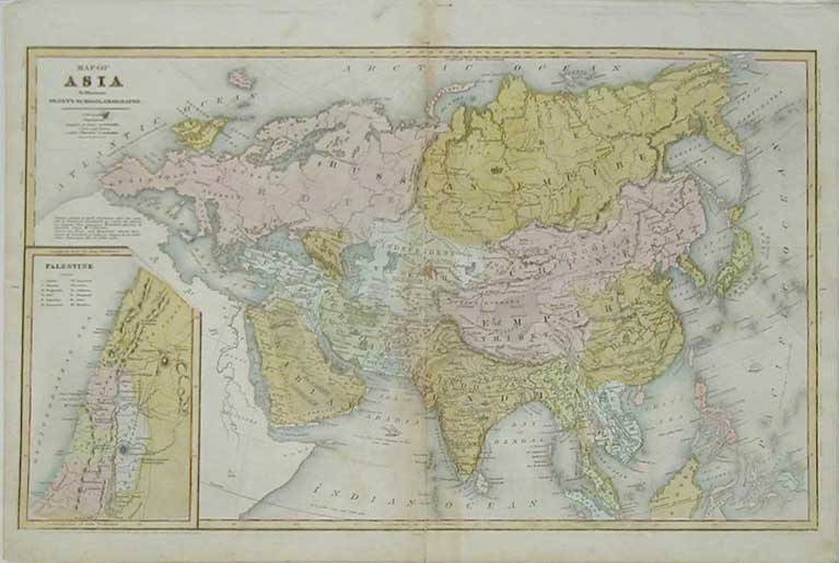 001holy: 1844 Palestine Map. Inset on larger Map of Asia. Very early date on this scarce hand colored antique map. 18x12 in. $180 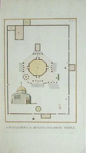 002holy: 1745 A Plan and View of the Mosque of Solomons Temple. This hand colored copper engraving shows 2 views of the mosque from the outside and a view from above. size: 16.5x8.5 in. $195  003holy: 1872 Fruit Carriers Going to Jerusalem. This beautiful, antique hand colored engraving is from the March 1872 edition of Harper's Weekly Magazine. size: 16.5x8.5 in. $40 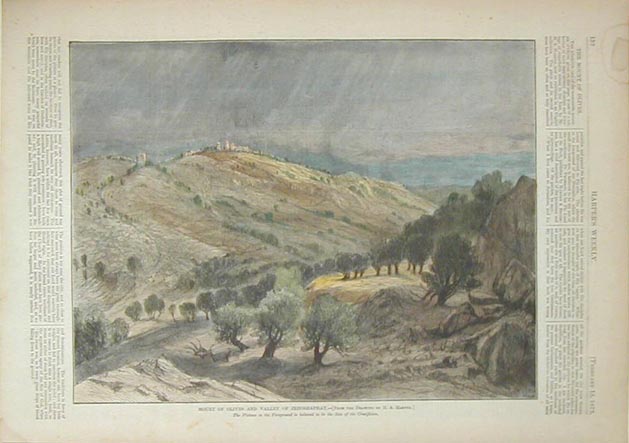 010holy: 1873 Mount of Olives and Valley of Jehoshaphat. (The Plateu in the foreground is believed to be the Site of the Crucifixion). Original hand colored antique engraving from the February, 1873 edition of Harper's Weekly. size: 11x14 in. $40 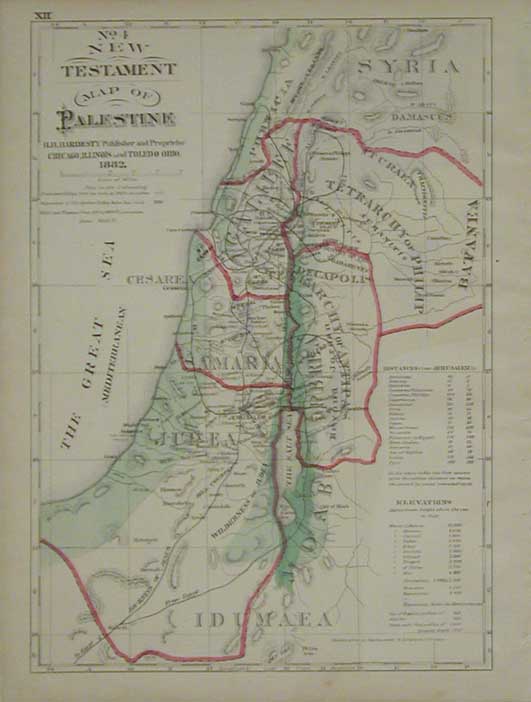 011holy: 1882 New Testament Map of Palestine. Attractive original hand colored antique map of Palestine, by Hardesty. 11x14-1/2in. $40 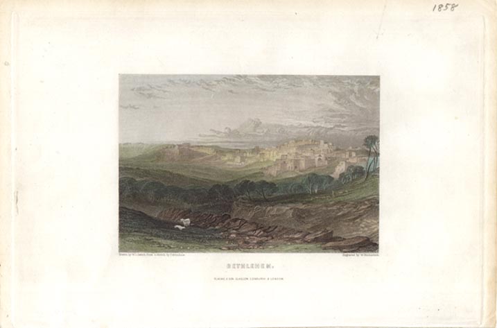
014holy: 1858 Bethlehem. This hand colored steel engraving was drawn by L.L. Letch and engraved by W. Richardson. size: 6x9.5 in. $50 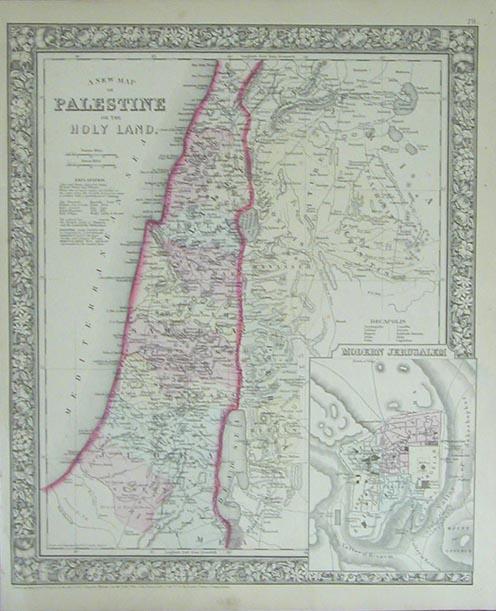 017holy: 1864 Mitchell Map of Palestine or the Holy Land. Original hand colored antique engraved map of Palestine, with inset of Modern Jerusalem. This map is surrounded by a beautiful border of leaves and flowers and is in great condition. size: 12-1/2x15 in. $60 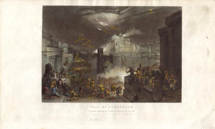 020holy: circa 1880 Fall of Jerusalem. This hand colored steel engraving was engraved expressly for Peterson's Magazine by J.D. Gross. size: 6x10 in. $40 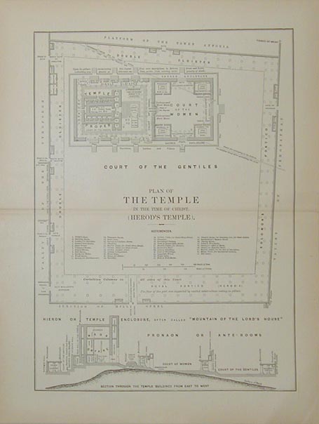 023holy: Plan of the Temple in the time of Christ. (Herod's Temple). This antique black and white engraving shows a section through the temple buildings from East to West. size: 11x14 in. $30 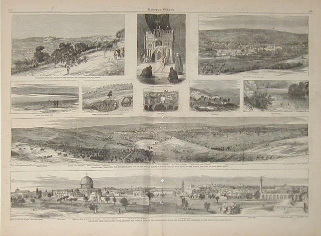 024holy: 10 views of Jerusalem. This double page black and white engraving is from the March 1866 edition of Harper's Weekly. These 10 engravings show: Bethlehem with the Church of the Nativity and Convents from the North, Holy Sepulchre (jerusalem) Nazareth from the East, Norht Bay (Dead Sea) Tombs in the Valley of Jehoshaphat, Bethany, Tibereas, the Jordan, Kerusalem- "Beautiful for Situation, the Joy of the Whole Earth, is Mount Zion, on the sides of the North, the city of the great King.", and Jerusalem fro the Golden Gate, showing the temple area in the foreground with the Mosques and Minarets in the Holy Place size: 16x22 in. $50 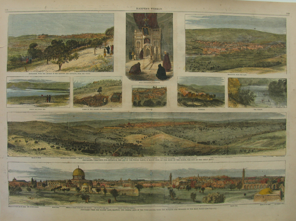 024.1holy: 10 views of Jerusalem. This double page black and white engraving is from the March 1866 edition of Harper's Weekly. These 10 engravings show: Bethlehem with the Church of the Nativity and Convents from the North, Holy Sepulchre (jerusalem) Nazareth from the East, Norht Bay (Dead Sea) Tombs in the Valley of Jehoshaphat, Bethany, Tibereas, the Jordan, Kerusalem- "Beautiful for Situation, the Joy of the Whole Earth, is Mount Zion, on the sides of the North, the city of the great King.", and Jerusalem fro the Golden Gate, showing the temple area in the foreground with the Mosques and Minarets in the Holy Place size: 16x22 in. hand colored $80 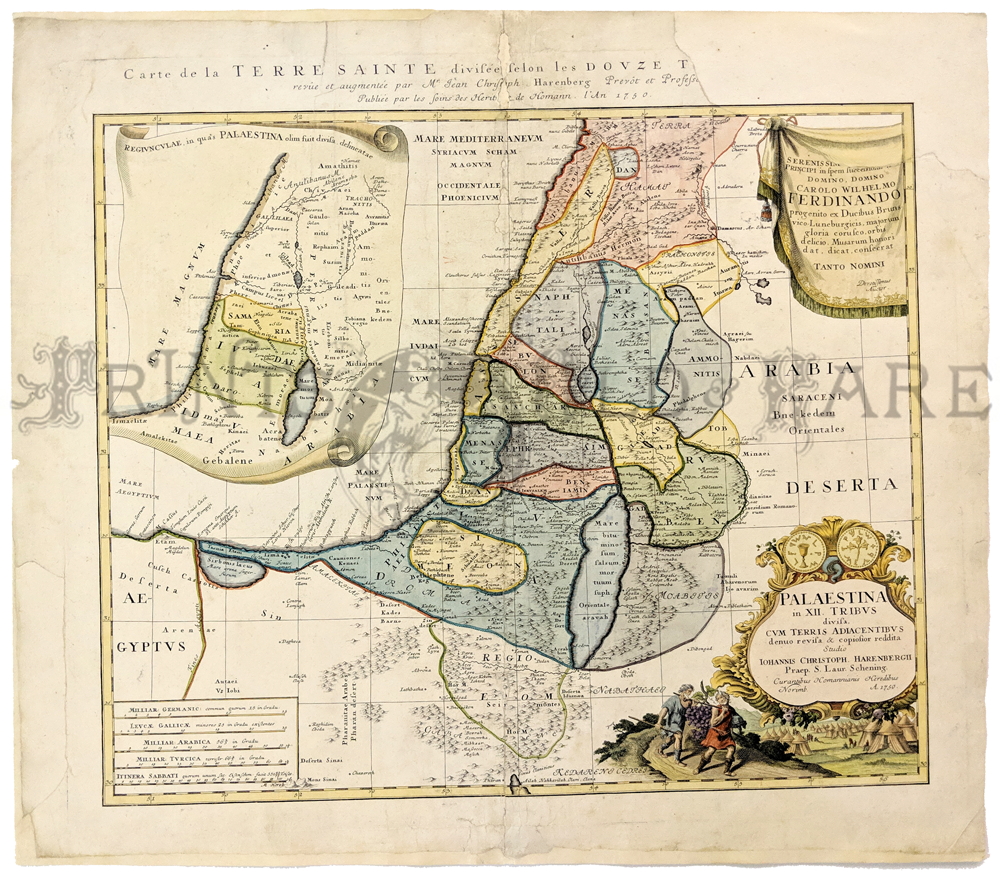 102holy: RARE Antique Homann Heirs Palestine Map. This beautiful map of Palestine was published by Homann heirs in 1750. It is titled "Carte de la Terre Sainte Divisee selon les Douze Tribus d'Israel." The map is hand colored, and very decorative. There is an elaborate cartouche in the bottom right corner. The map was damaged at one time, and it has been professionally restored. A piece was missing from the upper right corner, but new paper has been molded into the area where the piece was, and a part of the map border in that corner has been re-drawn. Several words from the title in the top margin were in the missing piece, and those missing words were NOT re-drawn, so the title is not complete. The restoration job on this map is really excellent. While the repairs are visible, they do not detract at all from the map's beauty. 22x24 in. $400 |
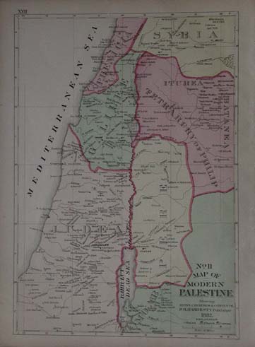
110holy: 1882 Map of modern Palestine "Showing ruins, churches and convents" Published by H.H. Hardesty. In excellent condition 14.5 x 11 $30 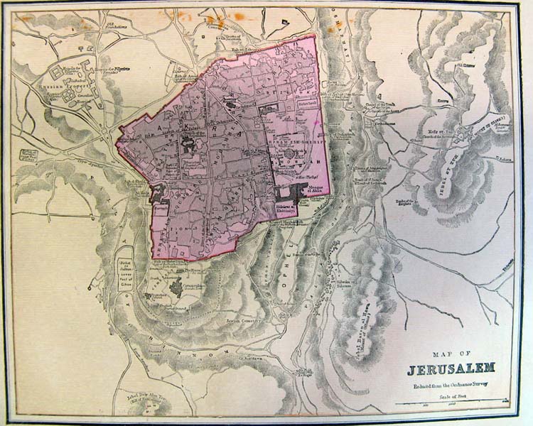 112holy: Jerusalem Map, from the Ordinance Survey Nicely detailed, indicating areas of inhabitation 10"x12" $30 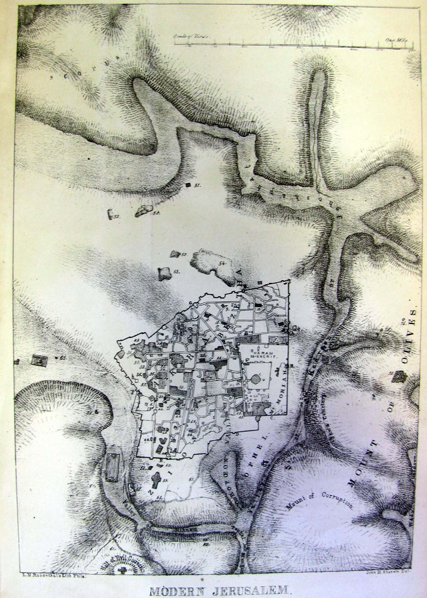 115holy: Modern Jerusalem, L.N Rosenthal's Lith. Small black and white image showing Jerusalem and Mount of Olives. 9" x 6" $30  119holy: 1892 Birds Eye View of the Holy Land , noted as engraved from a Chromo Litho by A.J. Marks. Includes numbered identification of locations in area, and the names of mountains and rivers. 11" x 14" $30 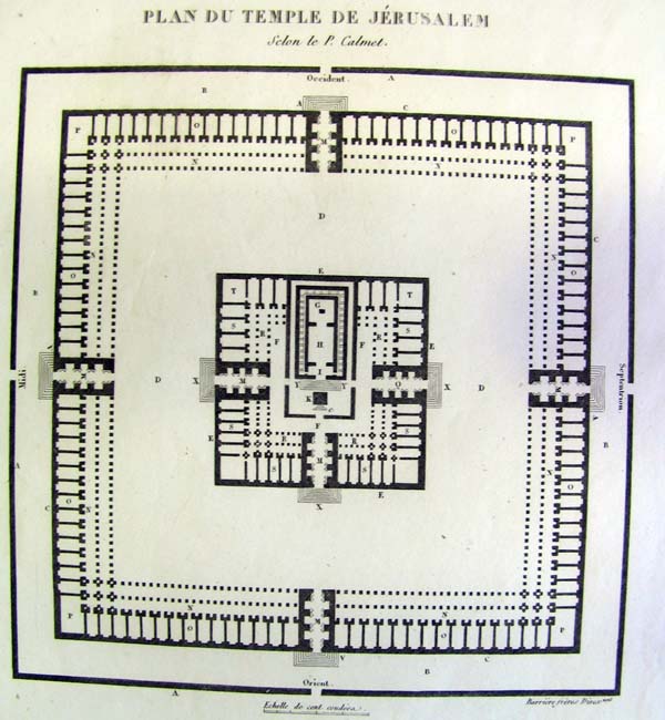 121holy: 1844 Plan du Temple de Jerusalem Detail of the temple, with enterances noted in French page 14" x 10", central image is 7" x 7" $40 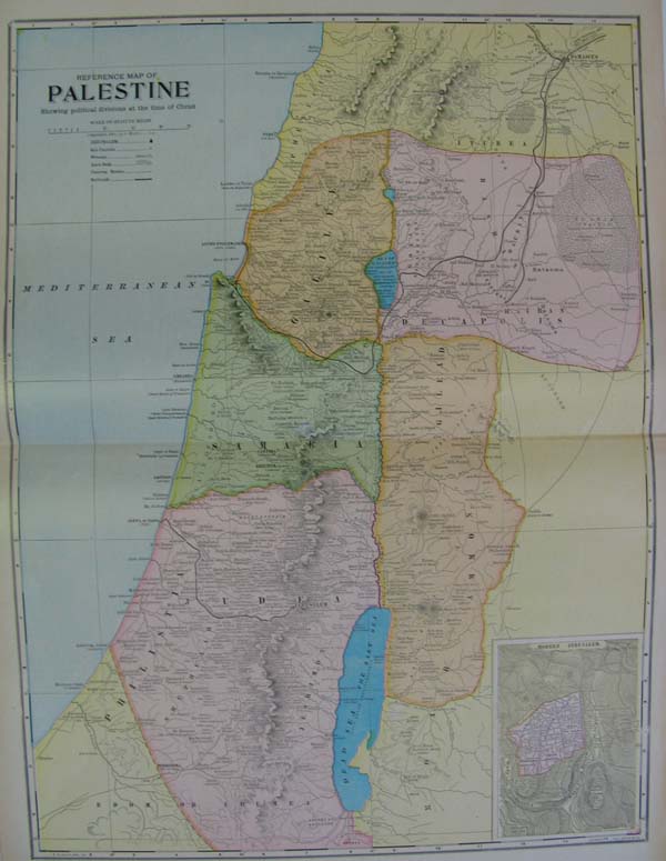 122holy: 1899 Palestine Map Colorful map showing Palestine with the political divisions at the time of Christ. Inset of Modern Jerusalem. 22.5" x 16" $60  123holy: 1889 View of the Temple of Herod from Olivet from H.W. Beecher's Life of Jesus the Christ. Black and White engraving of the temple, noted as Fergusson's Restoration. 14.5" x 10.5" $30 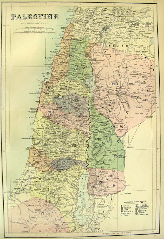 135holy: 1882 Palestine Map by J Bartholomew, pub by A & C Black brigh colorful map of Palestine indicating the location of the Twelve Tribes, using individually colored areas. 13" x 17" $50 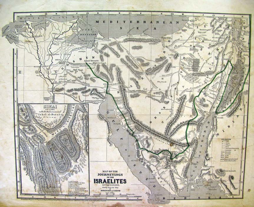 136holy: 1843 map of the Journeyings of the Israelites in the Desert, Based on a map by Robinson and Smith The route to Goshen is highlighted in this otherwise B/W map. Inset of Sinai 14" x 17.5" $60 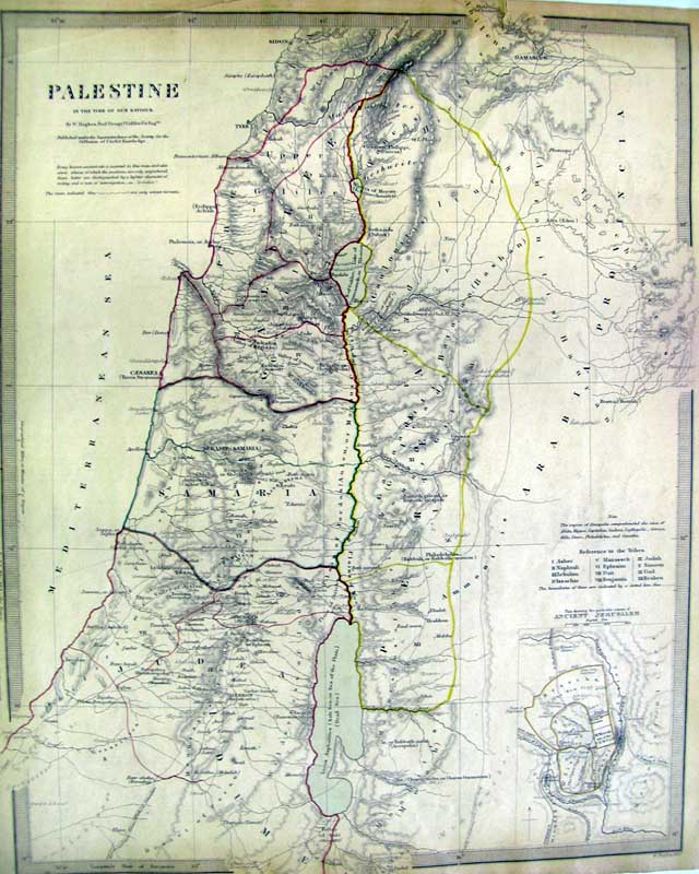 138holy: Original SDUK Map of Palestine 1843. This antique map of the Holy Land includes the Hauran and the adjacent districts. Original outline colored engraving plan of Jerusalem. 13" x 16" $140 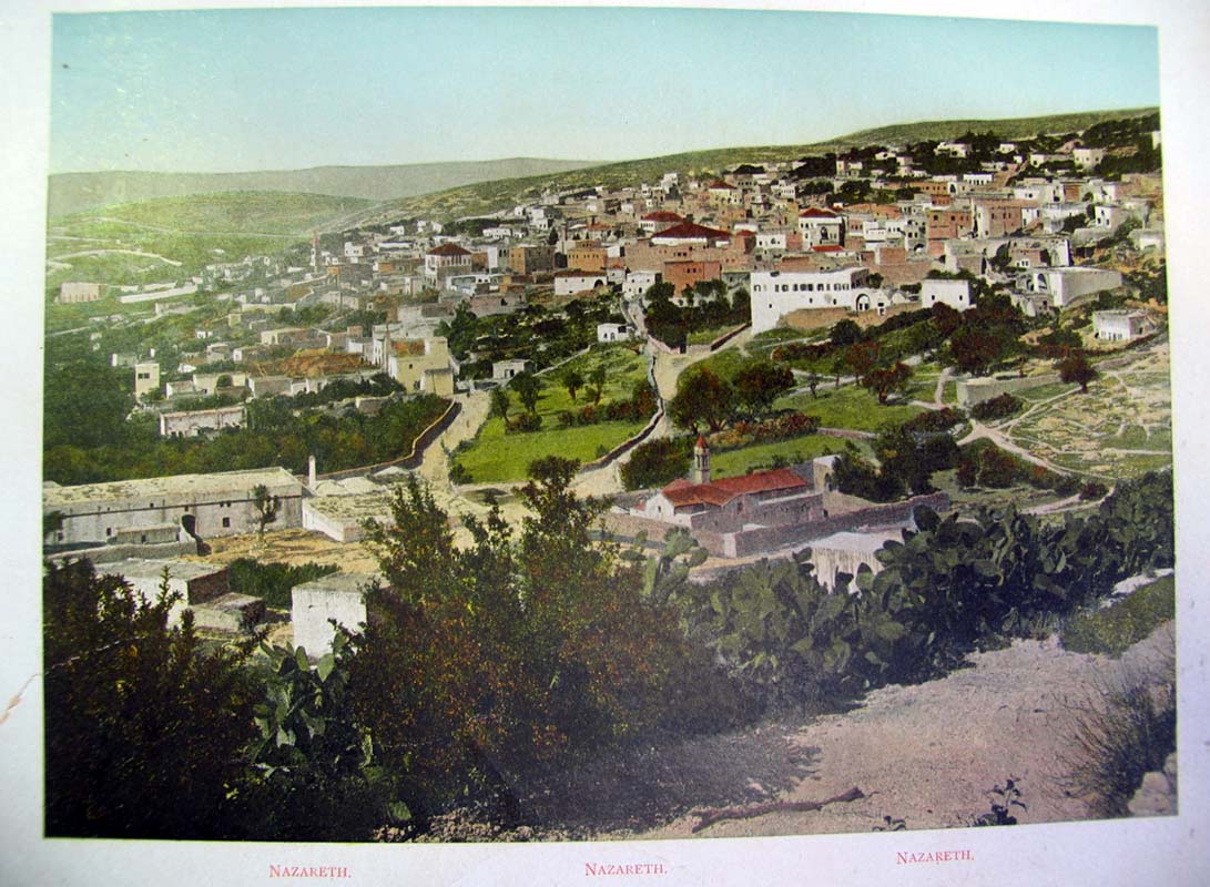 146holy: C.1900 Nazareth Photolithograph Professional repair to lower left corner, 9" x 11.5" $50 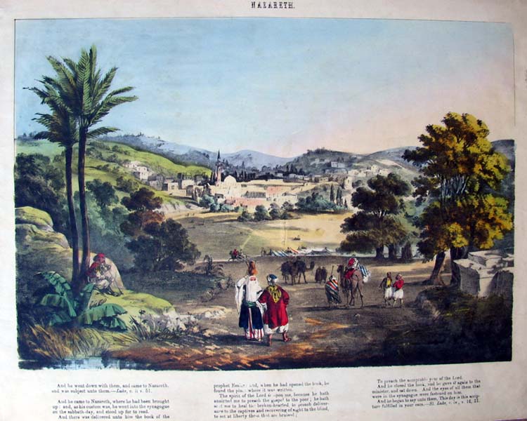 147holy: c. 1850 Nazareth Colorful lithograph view of Nazareth, with Bible verses on bottom: Luke Ch 2 v 51, and Luke Chapter 4 verse 16, 21 15" x 18" $150 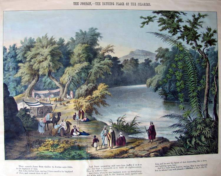 148holy: c. 1850 The Jordan, The Bathing Place of the Pilgrims Colorful lithograph view of The Jordan River, with Bible verses on bottom: Matthew Chapter 3, Verses 13,17 15" x 18" $150 SOLD 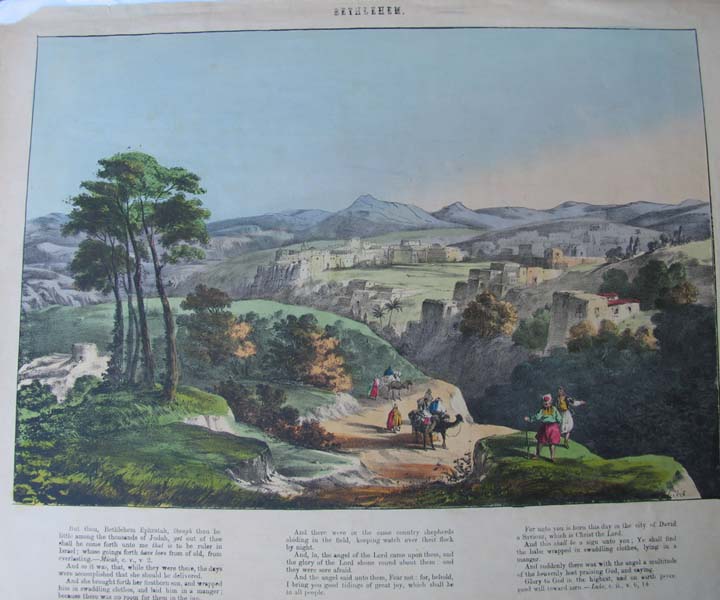 149holy: c. 1850 Bethlehem Colorful lithograph view of Bethlehem, with Bible verses on bottom: Micah Chapter 5, Verse2 and Luke Chapter 2, Verses 6 and 14. 15" x 18" $150 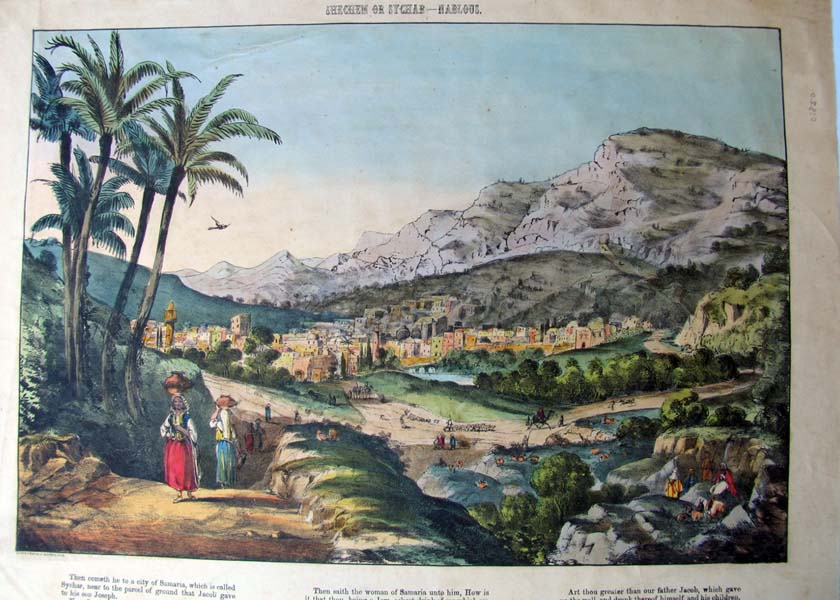 150holy: c.1850 Shechem or Nablous Colorful lithograph view of Shechem, with Bible verses on bottom: John Chapter 4 Verses 5 and 14 15" x 18" $150 |
 151holy: Modern Palestine, The Suez Canal & Sinai Peninsula from the Harmsworth Atlas Colorful side by side maps with country outlines- Palestine has an inset of the 12 tribes, and the Sinai Peninsula has insets of Suez, Port Said, and the Suez Canal. 15.5" x 20" $40 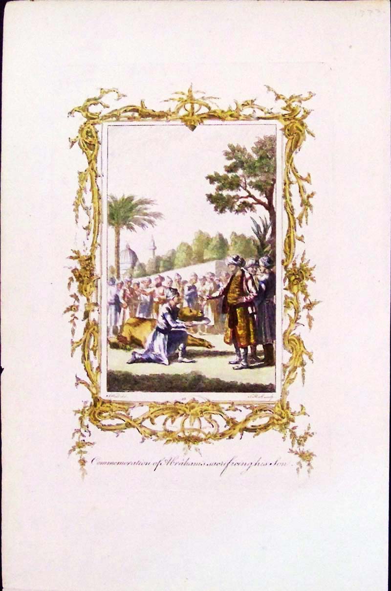 153holy: 1773 Rare hand colored copper engraving showing the "Commemoration of Abraham's sacrificing for his Son." Ornate border surrounds image. 14 x 9 in. $60 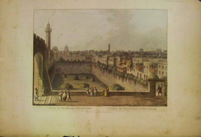 154holy: 1801 Hand colored Mezzolint from "Views in the Ottoman Dominion" by Luigi Mayer; Boywer, London. Image shows Pool of Betheseda, Jerusalem. Condition is very good. There's one small foxing mark to the right of the tower and one light smudge mark in center margin. (We can send close-up pix). 18 x 13 in. $295 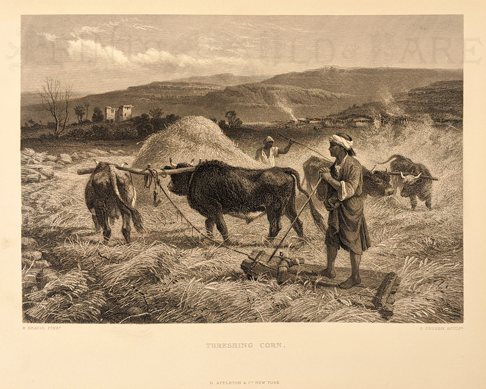 157holy: Threshing Corn. 1881. Steel engraving. 9 1/8 x 12 3/8 in. $40 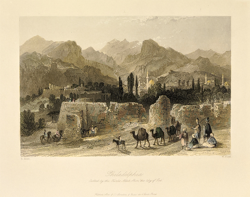 158holy: Philadelphia, Called by the Turks, Allah Sher, the City of God. Thomas Allom. c.1836. 9 x 11 in. $50 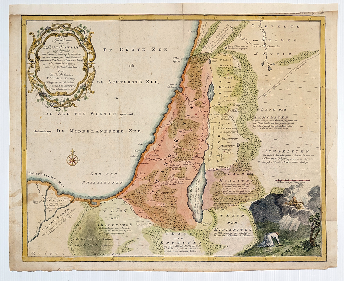 159holy: 1748 Holy Land by W.A. Bachiene. Beautiful Bible map of the Holy Land with land divisions of the descendants of Canaan, top left a nice title cartouche and lower right a hand colored picture that God appeared to Abraham. Area's covered extends as far as the Nile Delta and well east of the Jordan.**Has been archivally mended/patched top and right bottom border. 16 7/8 x 20 1/2 in. $350  160holy: 1882 Map of Jerusalem by Bruce F. House F.R.G.S. - H.H. Hardesty. Lithograph showing the intricate details of the city, places of interest, churches, town halls, kings garden, valley of Gihon, tombs, temples, etc. Plate size: 10 1/2 x 14 1/2 in. Image size: 13 1/2 x 9 1/2 in. $90  161holy: The City of Jerusalem, As it appears at present. 1855 Ballou's Pictorial Drawing-Room Companion. Wood engraving. Shows an early view of undeveloped Jerusalem with the Dome of the Rock mosque visible in the distance, buildings and figure on top of minaret in foreground. 10 7/8 x 15 in. $70  162holy: Palestine or the Holy Land. 1835 hand colored map of Palestine including the West Bank, Gaza and Jerusalem. T.G. Bradford. **Water stain top left border. 10 x 13 in. $90  163holy: 1855 Map of Palestine by J.H. Colton. Inset of Arabia Patraea. Hand colored lithograph. Showing tribes, showing scripture names, classical names, modern names, roads, etc. 14 1/2 x 17 3/4 in. $150  164holy: 1890 Palestine Streets. Showing Mohammedan Home in Jerusalem, Mohammedaisches Familienleben in Jerusalem, Jew's Wailing Place and Klageplatz der Juden in Jerusalem. Chromolithograph. 8 x 10 1/2 in. $80  165holy: 1894 SDUK Map of Ancient Syria. Cities, towns, regions, rivers and mountain ranges are illustrated.Original hand outline coloring. Included is an inset map of Part of Arabia including Mount Sinai and the Wanderings of the Israelites. 13 3/8 x 16 1/4 in. $120  166holy: Historical Birds-Eye View of The Holy Land. George F. Cram for “Crams Modern Atlas – Deluxe Edition,” published in 1905. Map regions are outlined and highlighted in printed pastel coloring. Cities, towns, routes and topographical features are noted. **Center fold as been reinforced. 14 1/2 x 22 1/2 in. $140  167holy: The Dead Sea c.1850. Hand colored, steel engraving. 7 1/4" x 10" in. $80 |
|||||||||
| Order Form | |||||||||||
| Back to Homepage | |||||||||||