|
|||||||||||
This is a small selection of our inventory of antique Minnesota maps and prints. Additional inventory is available. Contact us with your request. 1-800-879-6277
|
|||||||||||
|---|---|---|---|---|---|---|---|---|---|---|---|
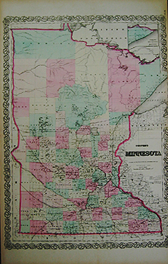
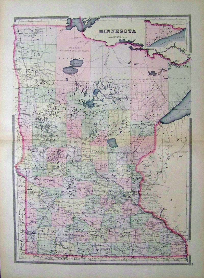
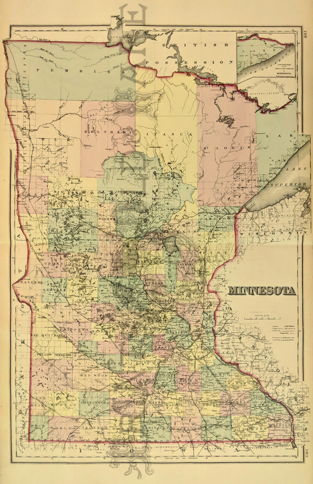
| ALSO SEE  Click here to view Great Lakes Charts 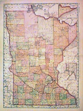 001mn: 1897 Minnesota Map. 1897 huge map of state. Shows railroads, etc., printed in color. Inset of St. Paul - Minneapolis area, by Rand McNally. 21 x 28 in. $80 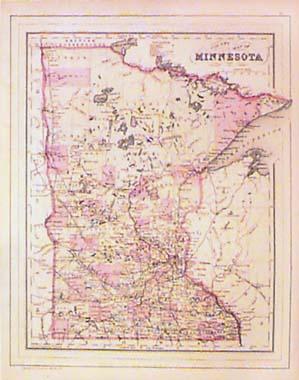 002mn: 1884 Mitchell Map. Hand colored counties. 12 x 15 in. $80 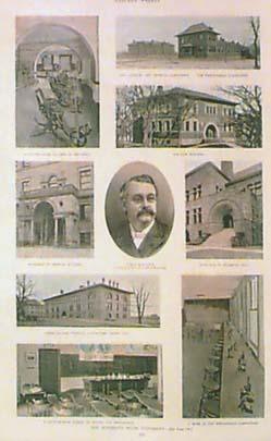 003mn: 1895 The Minnesota State University. Hand tinted print, nine scenes. 10 x 15 in. $60 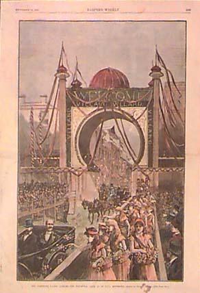 005mn: 1883 View of St. Paul at Northern Pacific Jubilee. Hand colored engraving from Harper's. 11 x 15 in. $50 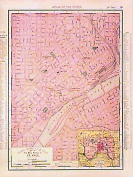 006mn: 1898 Map of St. Paul. Printed in color by Rand McNally. Names streets. 11 x 14 in. $30  007mn: 1895 Map of Minnesota. This color lithographed map of Minnesota was published in 1895 by the George F. Cram Company. Railroad lines, cities, towns and geographical features are shown in detail. Each county is separately colored. This map is in excellent condition, and would look great in a frame! Size is 14 x 22 in. $80 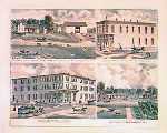 009mn: 1875 Mankato and Blue Earth County. Four views. Hand colored antique lithograph. 17 x 13 in. $80 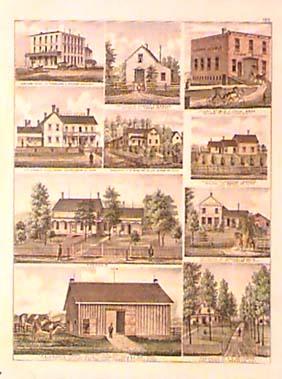 010mn: 1875 Rochester and Dodge County. Large hand colored lithograph, Ten views. 13 x 17 in. $80  011mn: 1893 Minnesota Pines lumbering print. Large hand colored double page. 22 x 16 in. $60  012mn: 1864 A.J. Johnson map of Minnestota. Hand colored. Only 1/2 border, but shows entire state. 13 x 17-1/2 in. $60 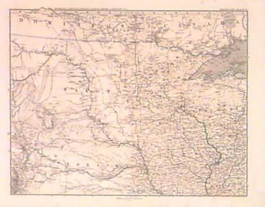 018mn: 1873 Map: Dakota, Minnesota, Upper Midwest. This interesting, detailed map was produced in by Steiler 1873. It shows most of the Upper Midwest, including old Dakota Territory, Minnesota, Wisconsin, Iowa and Nebraska. Cities, towns, railroads lines and geographical features are shown in minute detail. The map is in excellent condition, with original outline hand coloring. 15" x 19" $80 SOLD 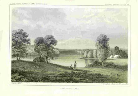 019mn: 1855 Railroad Survey lithograph "Lightning Lake." First views of area surveyed for possible first transcontinental railroad. 10-1/2 x 8 in. $40 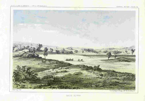 020mn: 1855 Railroad Survey lithograph "Sauk River." First views of area surveyed for possible first transcontinental railroad. 10-1/2 x 8 in. $40 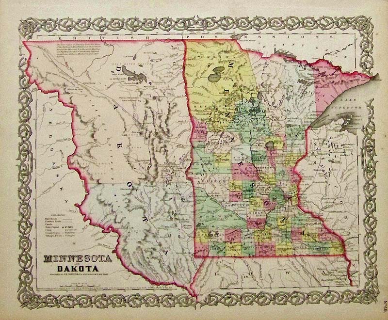 221mn: 1855 J.H. Colton original hand colored engraved map of Minnesota and Dakota. Colton was among the earliest map makers with very accurate maps depicting cities and states in the United States. 17-1/2 x 14-1/2 in. $290 SOLD 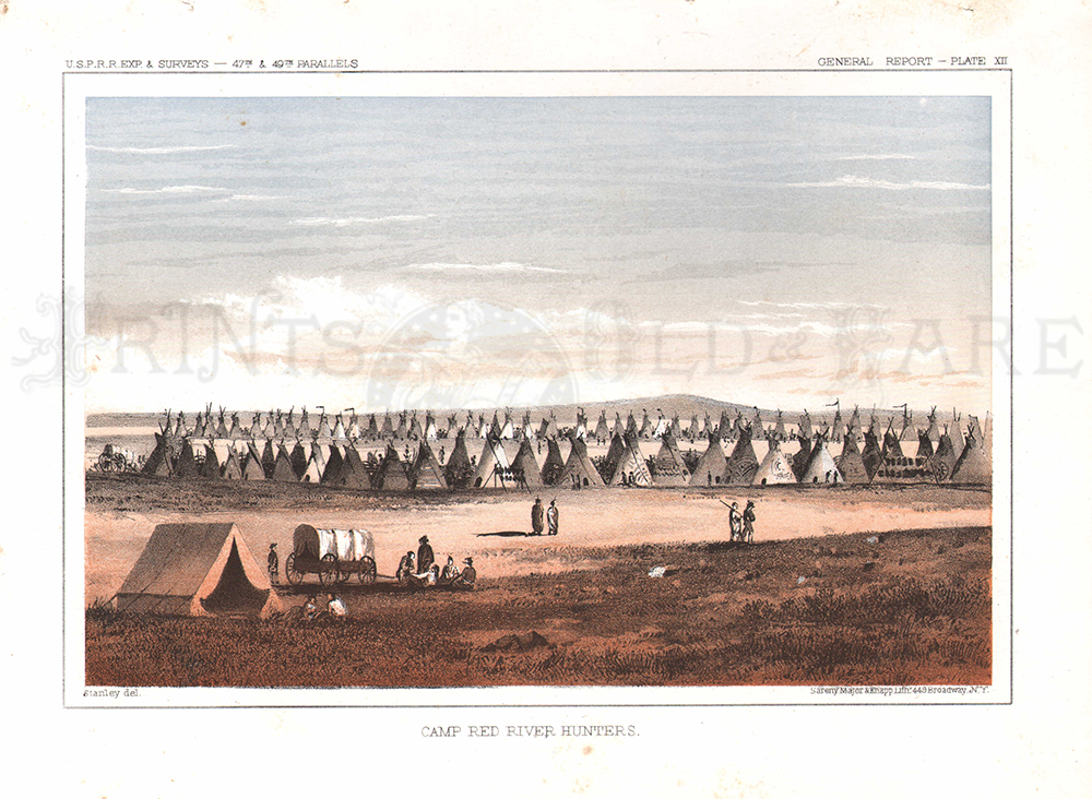 021mn: 1855 Railroad Survey lithograph "Camp Red River Hunters." First views of area surveyed for possible first transcontinental railroad. 10-1/2 x 8 in. $50 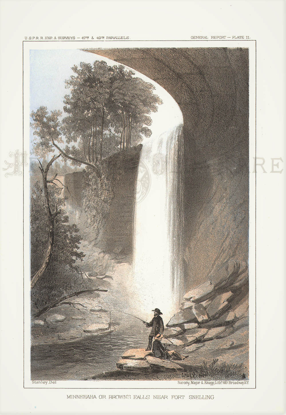 022mn: 1855 Railroad Survey lithograph "Minnehaha Falls - Fort Snelling." First views of area surveyed for possible first transcontinental railroad. 10-1/2 x 8 in. $60 |
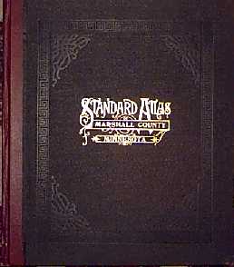 023mn: ATLAS - MARSHALL COUNTY, MINNESOTA, 1928. Warren, Minnesota (northwest corner). Excellent condition. Maps of Minnesota, United States, The World, 49 Townships, Marshall County,13 plates. 15-1/2 x 17-3/4 in. $300 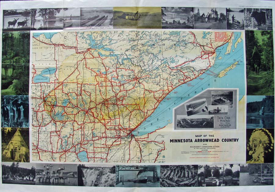
100mn: 1941 Color Pictorial Map of Minnesota Arrowhead country (Duluth area) surrounded by photos of the area. Map shows railroads, automobile roads, canal routes, Indian reservations, and boundaries. 22 x 34 in. $80 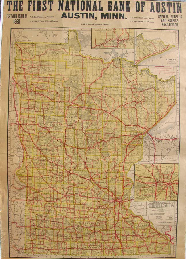
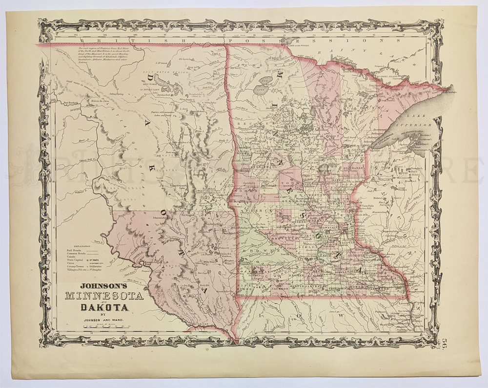
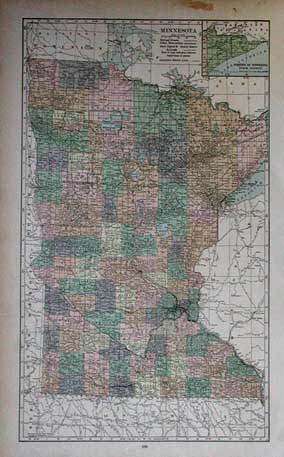
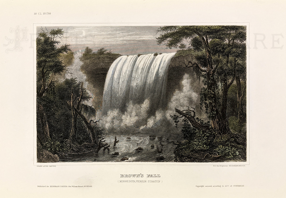
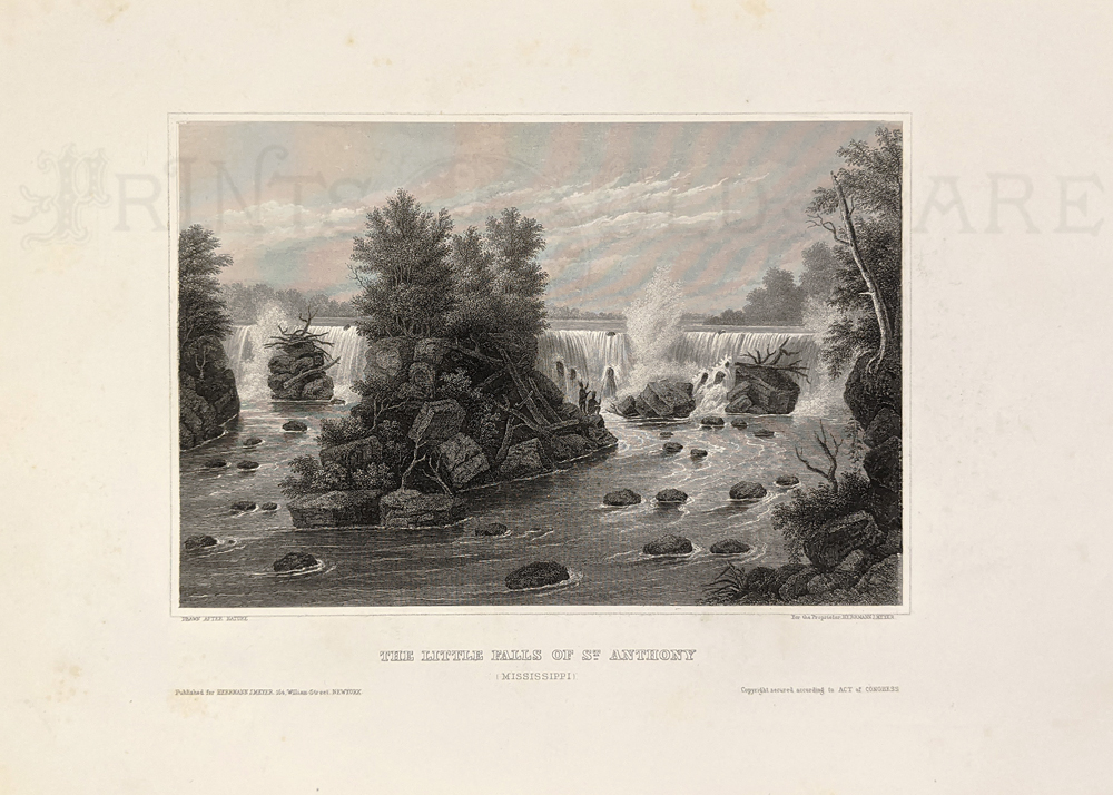
101mn: 1926 Business Map of Minnesota - Issued by First National Bank of Austin. Map has insets of mines in St. Louis County and Vicinity of Minnesota and St. Paul. Distance in miles on railroads are shown by numerals. Populations are also shown. 32 x 20 in. $175 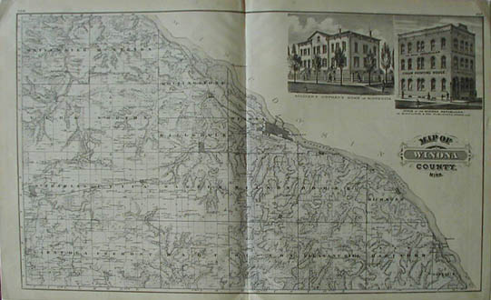 102mn: 1874 Map of Winona County, Minnesota. This large black and white county map shows all cities, railroads, and geographical properties. There are two black and white lithographs inset on the upper right hand corner: the Soldiers Orphans Home of Minnesota and Office of the Winona Republican, O. Sinclair and Co. Publishers, Winona, Minnesota. 17.5x28 in. $80 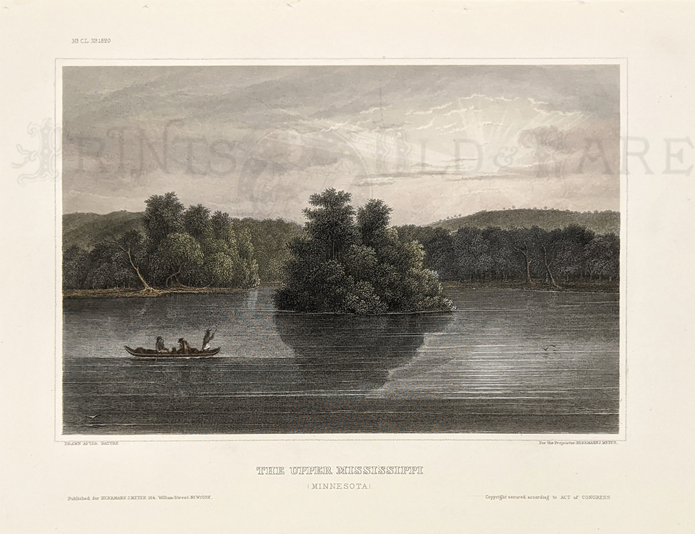 105mn: Beautifully hand colored steel engraving. Published by Herrmann J Meyer in Meyer's Universum c 1850. Picture titled, The Upper Mississippi (Minnesota). 7.5x10 in. $75 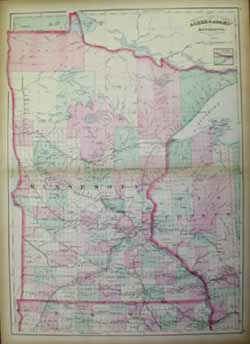 106mn: Beautiful 1872 map of Minnesota. Published by Asher & Adams in the New Statistical and Topographical Atlas of the United States. Original hand coloring. North East portion of Lake Co. Minnesota in small inset. 17.5x24.5 in. $120 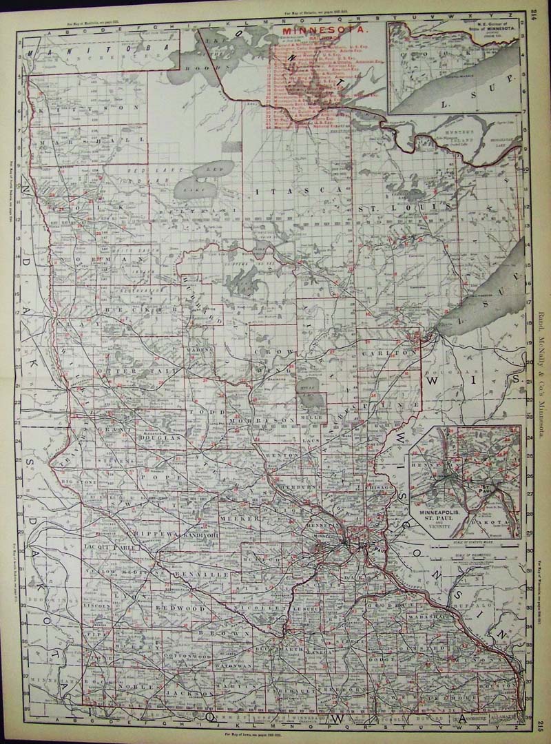 107Minnesota: C.1898 Color Rand, McNally & Co. Minnesota Railroads Map with inset of the N.E. Corner of the State of Minnesota showing Cook County. 27 x 20-1/2 in. $160 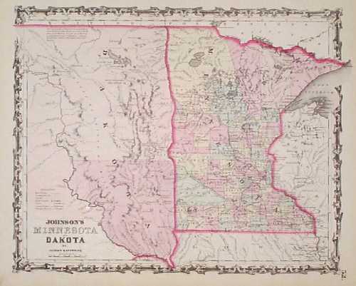 200mn: This map is titled "Johnson's Minnesota and Dakota." It was published in the 1862 edition of Johnson's Family Atlas. Minnesota is bordered on the western side by the Dakota Territory, which covered all of what is now North and South Dakota. Each county in Minnesota is individually hand colored. Major roads and railroad lines are shown throughout the area. There is a notation on the Dakota Territory which reads "The vast region of Prairies from Red River of the North and Mini Wakan L. to about the Gr. Bend of the Missouri R. is the great Hunting and Fighting Ground of the Dakota, Odjibwe, Assiniboin Arikara Minitarree and other Nations." A proposed Northern Route for the Pacific Railroad is shown running westward from St. Cloud, MN. Excellent condition. 14x17 in. $120. 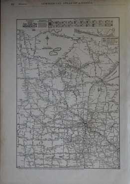 201mn: 1925 Rand McNally Junior Auto Trails Map of Minnesota. Map shows the Minnesota Trunk Highway System, with different lines for paved roads, improved roads, and unreported or dirt roads. Above map there is a section that shows the Trail and Highway Markings. 14.5x20.5 in. $60 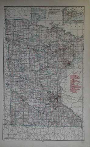 202mn: Very nice railroad map of Minnesota. Published in 1910 by C.S. Hammond and Co. Map shows the Interuban Electric Lines, Indian Reservations, Railroads, and Railroads not in operation. Inset in upper right corner of Cook County. 13x20 in. $50 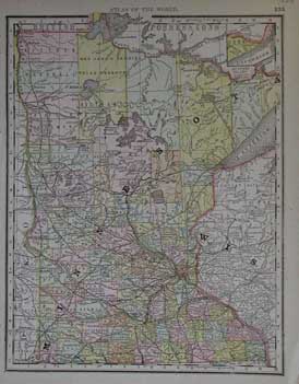 203mn: Rand McNally's Atlas of the World published in 1888. Minnesota map with each county hand colored separately. Railroad lines through the state are shown, as well as the cities, towns and geographical features. 11x14 in. $30 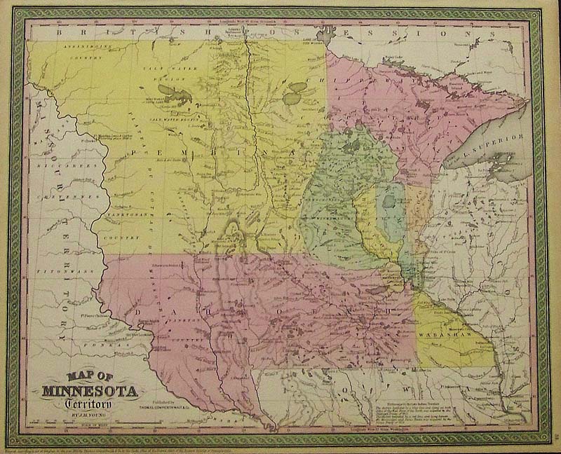 204Minnesota: 1850 Cowperthwait hand colored Map of Minnesota Territory which also shows future Dakotas. 17 x 13-1/2 in. $400 SOLD |
 225Minnesota: Minnesota Map published by Gray. 1875. Detailed map of the state showing colored by townships and showing counties, towns, rivers, canals, etc. Hand colored, lithograph. 17 x 24 in. $120 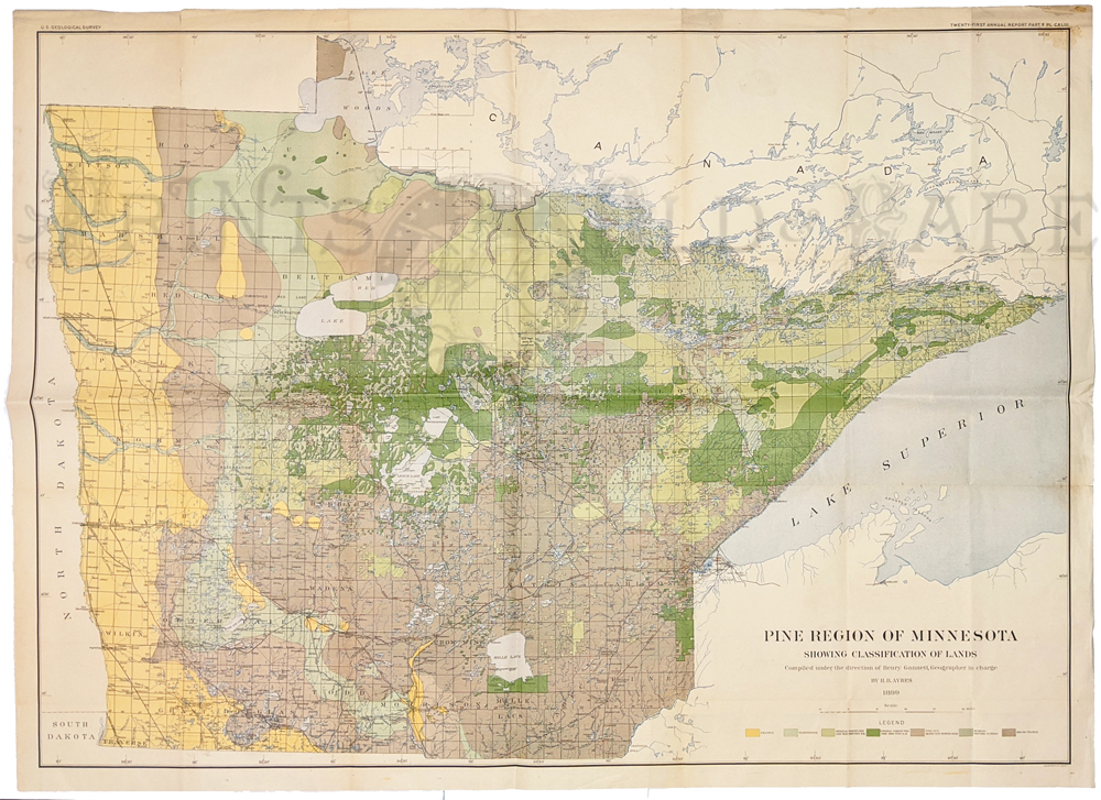 226Minnesota: Pine Regions of Minnesota 1899. Showing the classification of lands by Henry Garnett. 7 color coded sections lithographed by Julis Bien. 34 x 47 in. $60
|
|||||||||
| Order Form | |||||||||||
| Back to Homepage | |||||||||||