|
|||||||||||
This is a small selection of our inventory of antique Scotland maps and prints. Additional inventory is available. Lowest Prices! Contact us with your request. 1-800-879-6277
|
|||||||||||
|---|---|---|---|---|---|---|---|---|---|---|---|
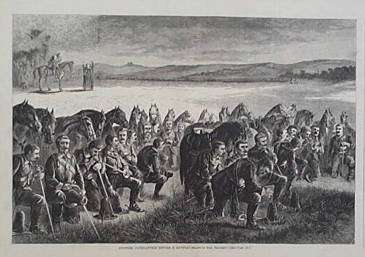
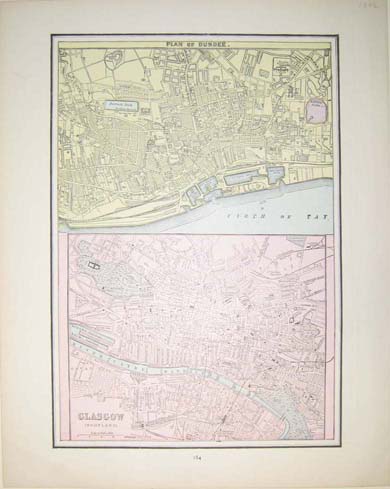
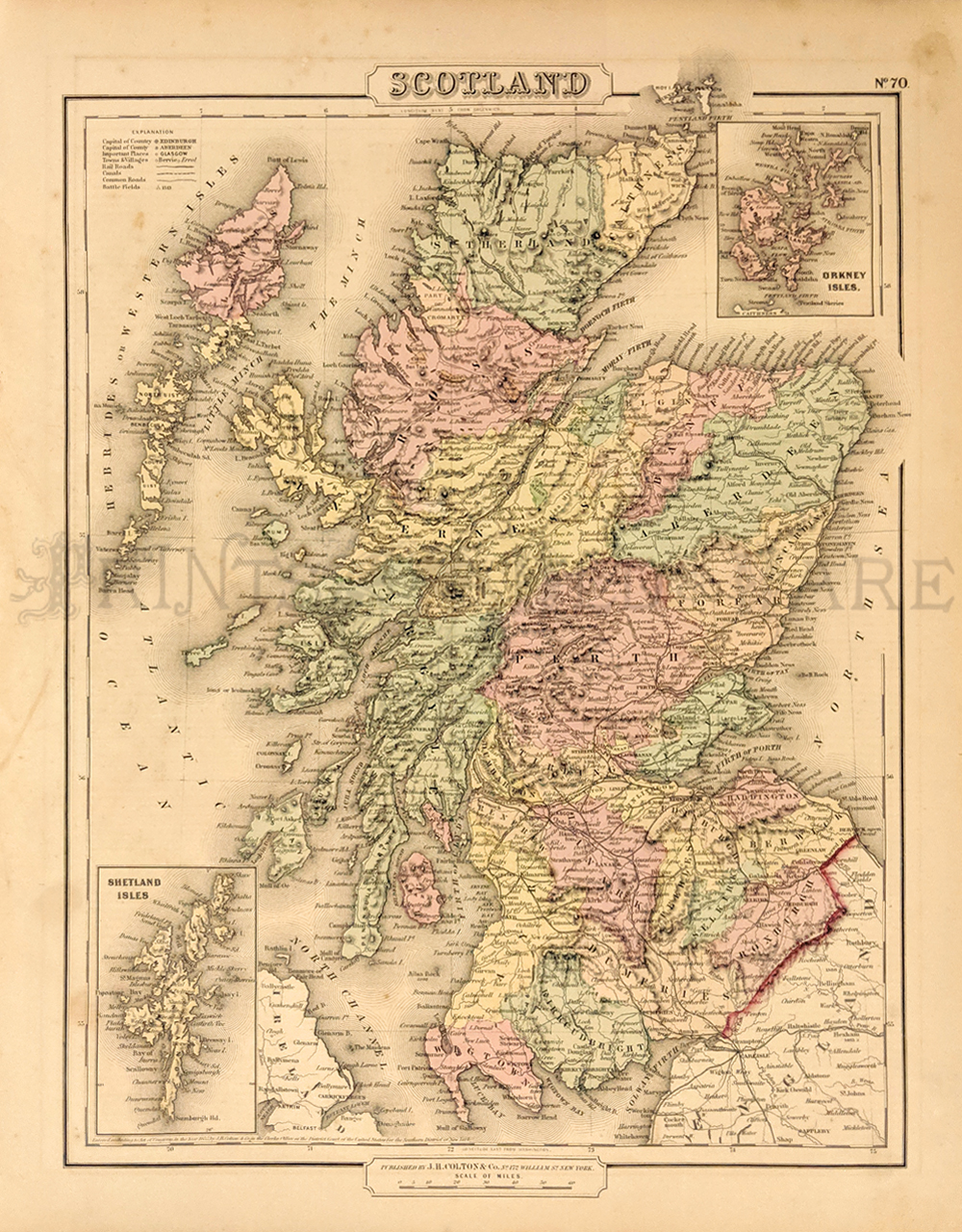
003scot: 1874 Scottish Covenanters During Prayer. Wood engraving from an 1874 issue of Harper's Weekly shows Scottish Covenanters praying before a battle. Covenanters were presbyterians bound by oath to sustain one another in the defense of their religion. 22x26 in. $30 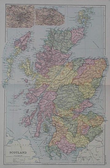 005scot: 1891 Map of Scotland. Map published in 1891 shows Scotland with two smaller insets of Glasgo and Edinburgh. Map shows provinces by color towns, steam routes, railways, canals, battlefields and elevations. 13x20 in. $50 
007scot: 1875 Scottish Countryside Scene. Color wood engraving published in an 1875 issue of Harper's Weekly shows a mother and her child with several cows in the Scottish countryside. The title is "Morning on the Moors." 11x16 in. $40 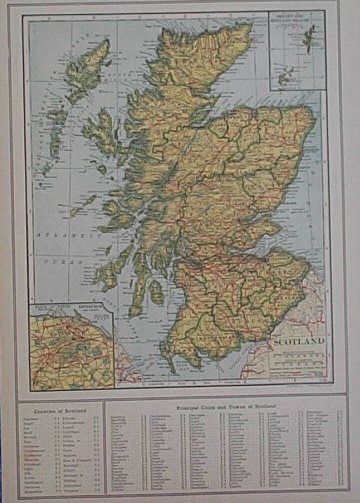
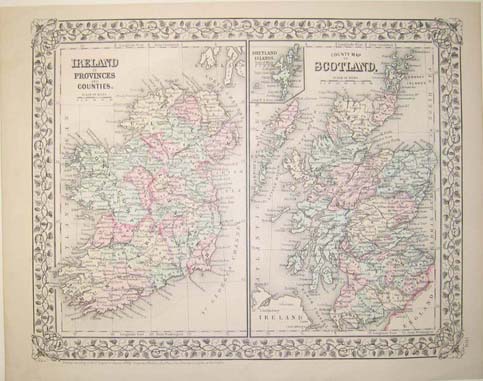
009scot: 1917 Map of Scotland. Map of Scotland was published in the World Atlas and Gazetteer in 1917. It shows Scotland's major geographical details and includes a key of the country's counties, cities, and towns in the lower margin. Also shows two inset maps of Edinburgh and the Orkney and Shetland Islands. 10x14 in. $40  011scot: 1897 Century Map of Scotland. Map of Scotland was published in the Century Atlas of 1897. It shows major geographical details, as well as counties, cities, highways, submarine telegraph lines, canals, steamship lines, lighthouses and battlefields. Map also shows an inset map of Glasgow and its vicinity. 12x16 in. $40 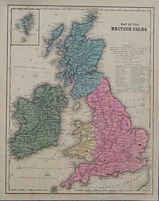
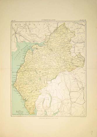
013scot: 1839 Map of the British Isles. Color, copper engraved map published in 1839 shows England, Wales, Scotland, Ireland and the Shetland Islands. Map shows cities, towns and geographical features. Map also shows the rail road lines in England. 9x11 in. $50 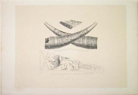 016scot: 1815 Ruins on the English-Scottish Border, 1815 steel engraving showing the Bugle Horn of the Castle of Carslogie and the Banner of Douglas at the Battle of Otterbourne 15x12in. $30 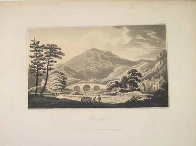 017scot: 1802 Benledi, Sketched on the spot by Alex Campbell London Published March 1, 1802 8.5x11in. $30 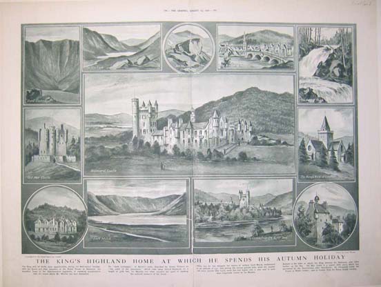 018scot: 1921 The King's Highland Home At Which He Spends His Autumn Holiday which features scenes from Scotland, printed in half-tone from The Graphic, August 13, 1921. 20x15.5in. $50 |
 031alco: Scotch Whiskey Ad – 1913 - Dewar. Hand colored half-tone engraving. Man in kilt. 15 1/2 x 10 1/2 in. $40 
020scot: 1876 Off to the Highlands on the Oban Boat, Drawn by J.E. Hodgson, A.R.A. Wood engraving from The Graphic, July 22, 1876. 21.5x16in. (Condition: Split from bottom middle up halfway) $30  021scot: 1837 Cape Wrath (North Highlands) Steel engraving by W.H. Bartlett 11x8.5in. $30 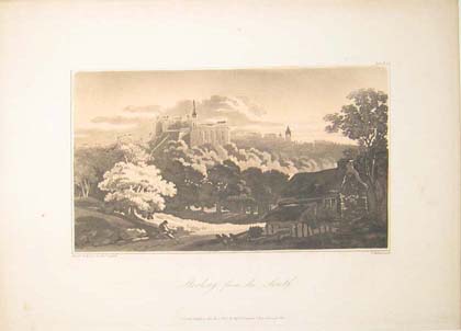 022scot: 1802 Stirling from the South, Sketched on the Spot by Alex Campbell London, Published March 1, 1802 11.5x8.5in. $30  024scot: 1876 Views in the Highlands, From Drawings by Samuel Read, Lithograph from an Extra Supplement to the Illustrated London News, August 5, 1876. (Condition: Stain in upper left corner) 10.5x16in. $30 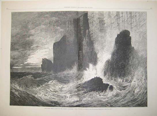 025scot: 1876 "The Wild West Coast of the North Countrie" - From a Painting by S. Read, in the Philadelphia Exhibition, titled, "The Wild West Coast of the North Countrie." Wood engraving published in Harper's Weekly on June 10, 1876. 16x22in. $30 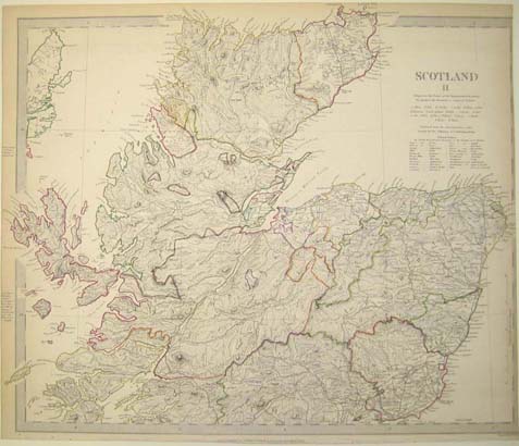 030scot: 1834 Scotland II map, published by Baldwin & Gradock, London. 16 x 13-1/2 in. $60 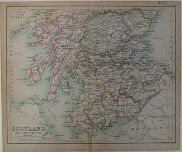 032scot: 1896 Scotland Southern Section map, By John Bartholomew & Co., Edinburgh 8.5x7in. $30 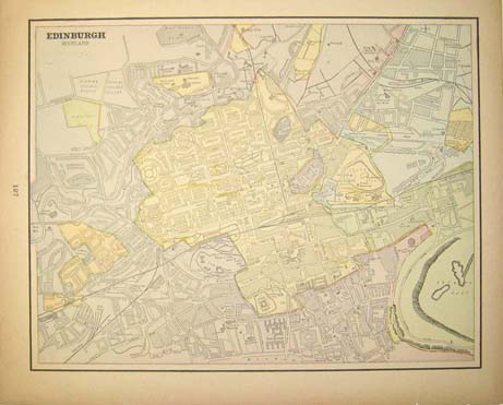 033scot: C.1920 Edinburgh, Scotland map. 13-1/2 x 11 in. $30 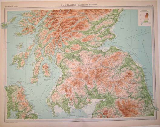 034scot: 1948 Scotland - Southern Section map by John Bartholomew & Co. from the Edinburgh Geographical Institute, published in "The Times" Atlas, Plate 21. 23x18in. $40 
035scot: 1900 Scotland. Geographical Map. 11x17in. $30 |
|
|||||||||
| Order Form | |||||||||||
| Back to other Special Interests , Back to Homepage | |||||||||||