002ca:
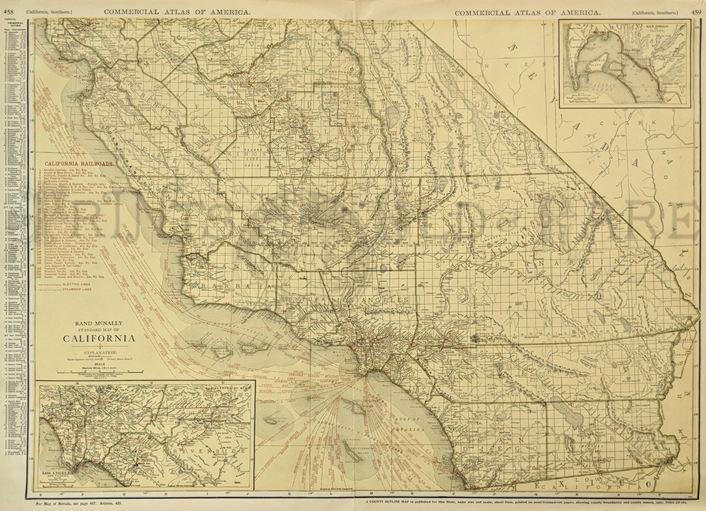
1924 Large Map of Southern California. From
Monterey to Mexico border. Commercial lithographic map by Rand McNally.
Lists and shows old railroads and shipping lines. Great detail on this
large scale map. Principal cities listed in margin.
28x21 in. $80
004California:
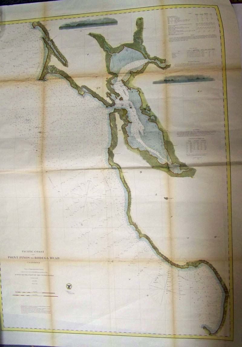
Pacific Coast Point Pinos to
Bodega Head California, 1862 - A very large engraved and detailed chart
extending from Monterrey Bay north to Bodega Bay, including all of San
Francisco and San Pablo bays, and north to Petaluma. The chart has
extremely detailed information including soundings, light houses,
islands and remarkable coastline detail. Cities of Oakland, Vallejo,
Benicia, Brooklyn, Union City, Redwood City and more are located, Half
Moon Bay is Spanish Town. This map provides a terrific view of the
development of the region around San Francisco little more than a
decade after the start of the Gold Rush, includes two inset views of Pt
Reyes, and Noon Day Rock in the Farallones.
Condition: Good, yellowing on horizontal and vertical folds, small left
margin.
size 27 x 36 image
$400
007ca:
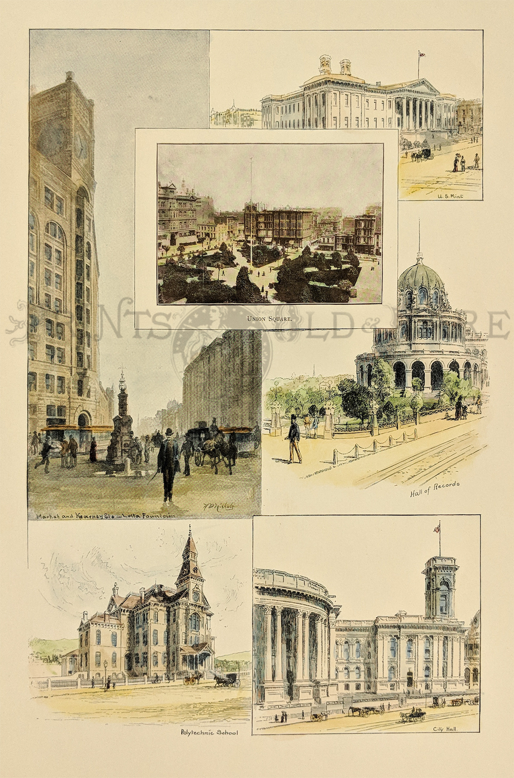
1888 San Francisco Public Buildings. Hand colored
lithograph, six views on one page.
11-1/2x15-1/2 in. $60
010ca:
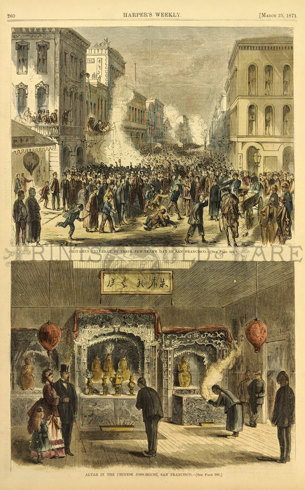
1871 San Francisco Chinatown. Two views, Celebration of
New Year and Chinese Joss-House. 11x16 in. $50
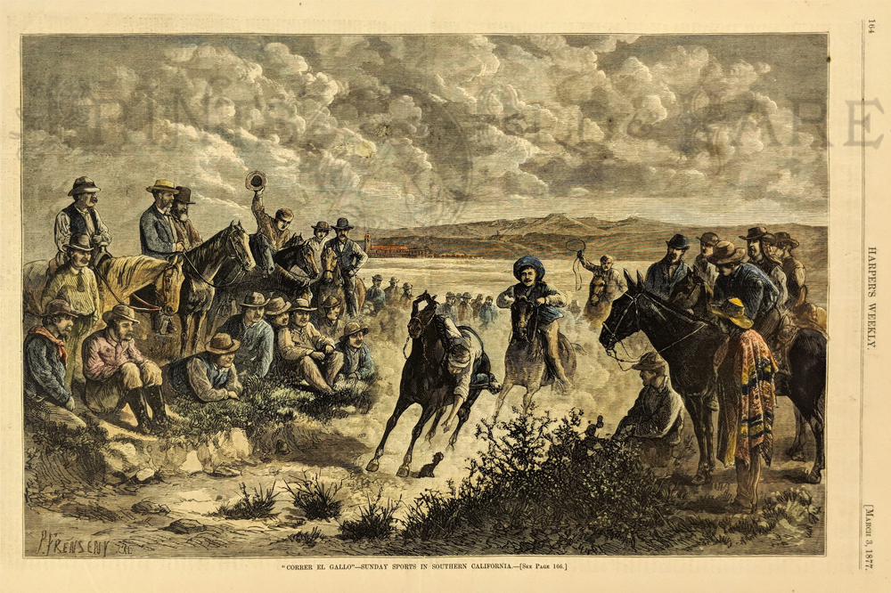
012ca:
1877 "Correr El Gallo"- Sunday Sports in Southern
California. This hand colored engraving shows cowboys engaging in games
on the prairie. This genuine antique print is from the March, 1877
edition of Harper's Weekly. 11x16 in. $80
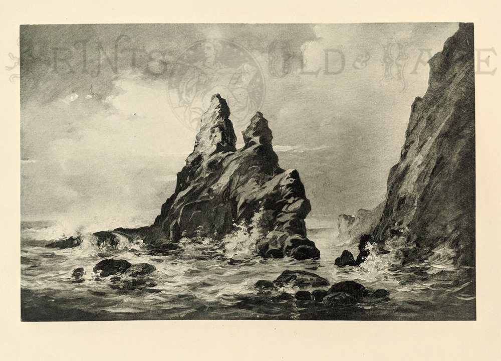
013ca:
1888 San Diego California. Black and white
lithographic view of Point of Rocks. 16x12 in. $30
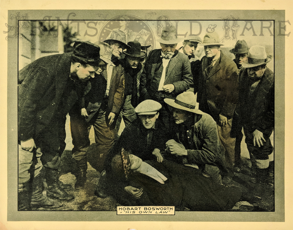
017ca:
Silent Film Tinted Lobby card. “His Own Law” Starring Hobart Boswell
produced by Samuel Goldwyn. 1920. Shows crowd scene, a Mountie, and an
unconscious woman.
14 x 11 in. $35
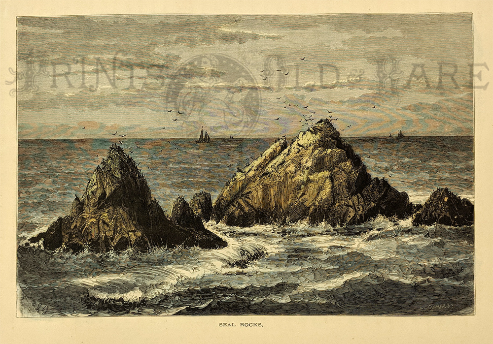
022ca:
1873 Seal Rocks San Francisco. Hand colored
engraving from Picturesque America. 12-1/2x9-1/2 in. $40
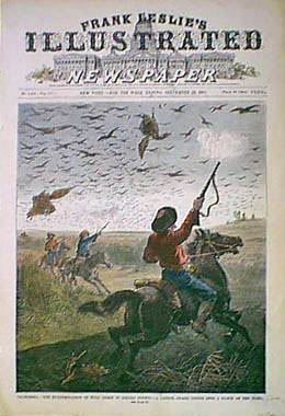
023ca:
1882 Colusa County California Interior. Cowboys
shooting wild geese. Hand colored engraving, Leslie's Newspaper
front page.
11x16 in. $80
SOLD
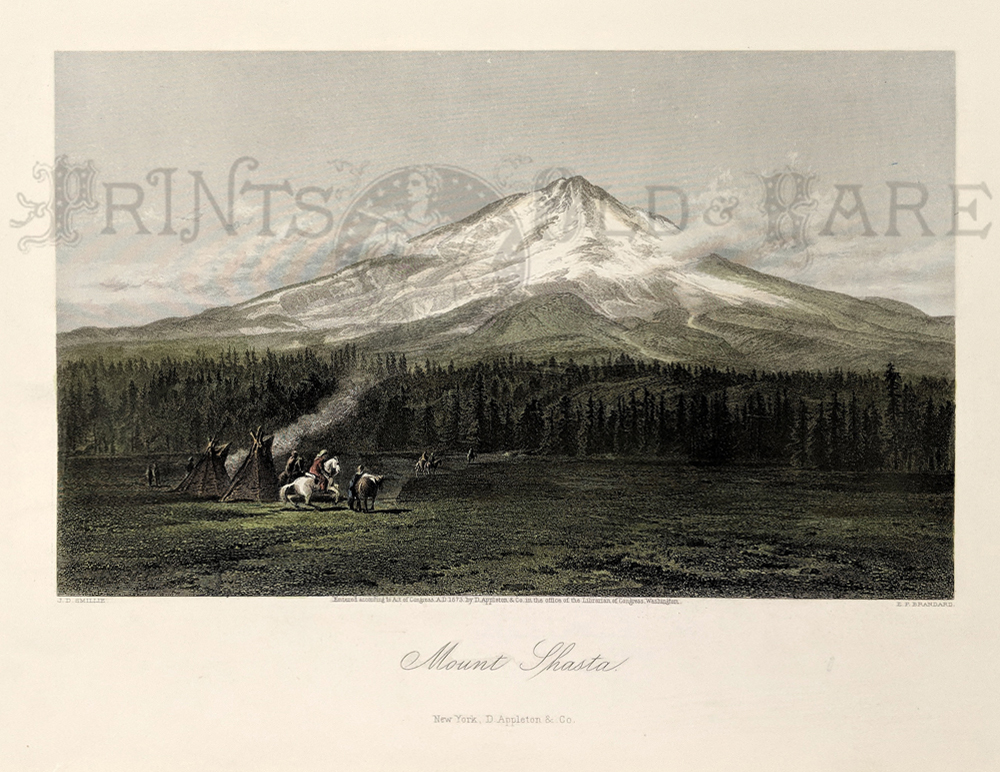
024ca:
1873 Hand colored steel engraving titled, "Mount Shasta" in Northern
California from Picturesque America. Entered According to Act of
Congress by D. Appleton & Co.in the Office of the Librarian of
Congress, Washington.
Published in New York.
12-1/2 x 9 in. $50
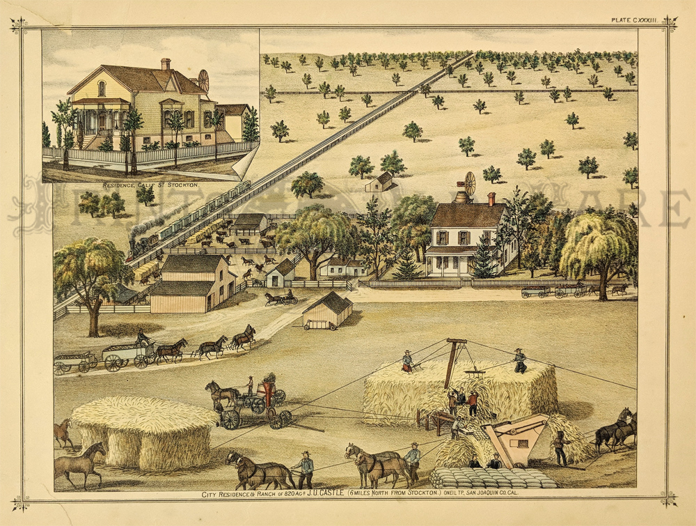
026ca:
1876 Stockton California. Hand colored lithograph. Farm
scene at harvest time in the great interior valley. 14x11 in. $60
Check
for availability

028ca:
1886 Cram color California map which shows railroad lines and
other good details.
21-1/2 x 13-1/2 in. $150
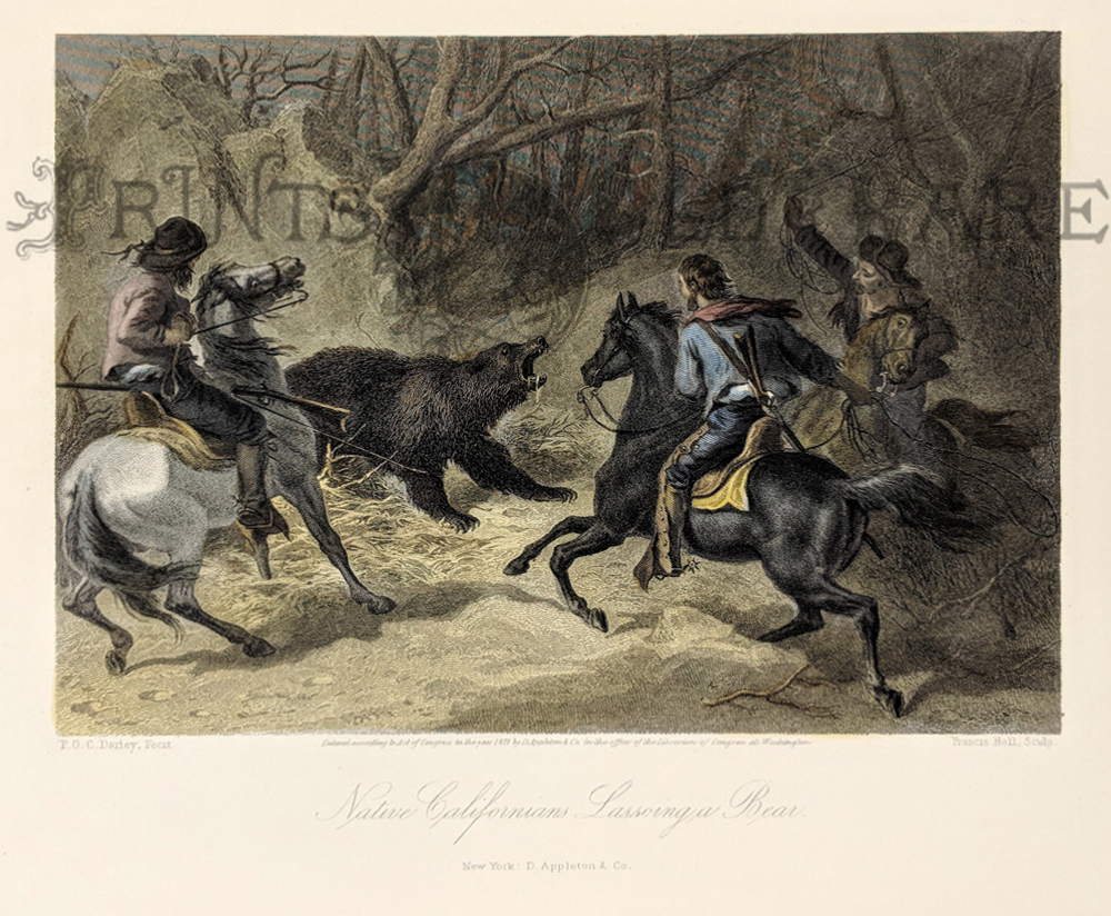
029ca:
1873 California. "Native Californians Lassoing a
Bear." Hand colored steel engraving by FOC Darley. 12-1/2x9 in. $60
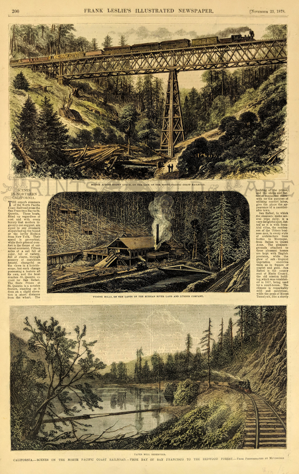
030California:
1878 Hand colored wood
engraving showing Scenes on the North Pacific Coast Railroad, from Bay
of San Francisco to the Redwood Forest in California. Top image shows
the bridge across Brown Gulch on the line of the North Pacific Coast
Railroad.
16 x 10-1/2 in. $60
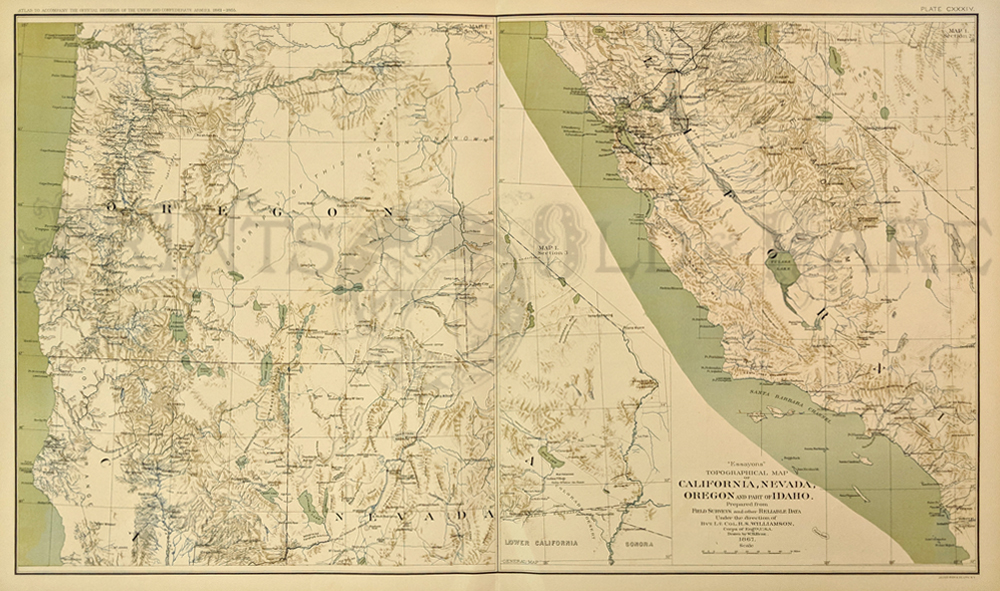
032ca:
C.1880 California & Oregon Civil War Map. Published in color
for Civil War Atlas by U.S. Government after the War. Scarce antique
topographical map, shows forts, rivers, great detail. 29x18 in. $120

033ca:
1885 Print: Grasshoppers Invade California. This
professionally hand watercolored engraving is from the July 4, 1885
issue of Frank Leslie's Illustrated Newspaper. The print is titled
"California--The Grasshopper Invasion--Descent of a Cloud of Insects on
a Grain Farm in El Dorado County." At the top of the print there is an
inset view showing grasshoppers stopping a train by covering the
tracks. A genuine antique print produced in 1885, NOT a
reproduction!
11"
x 16"
$50
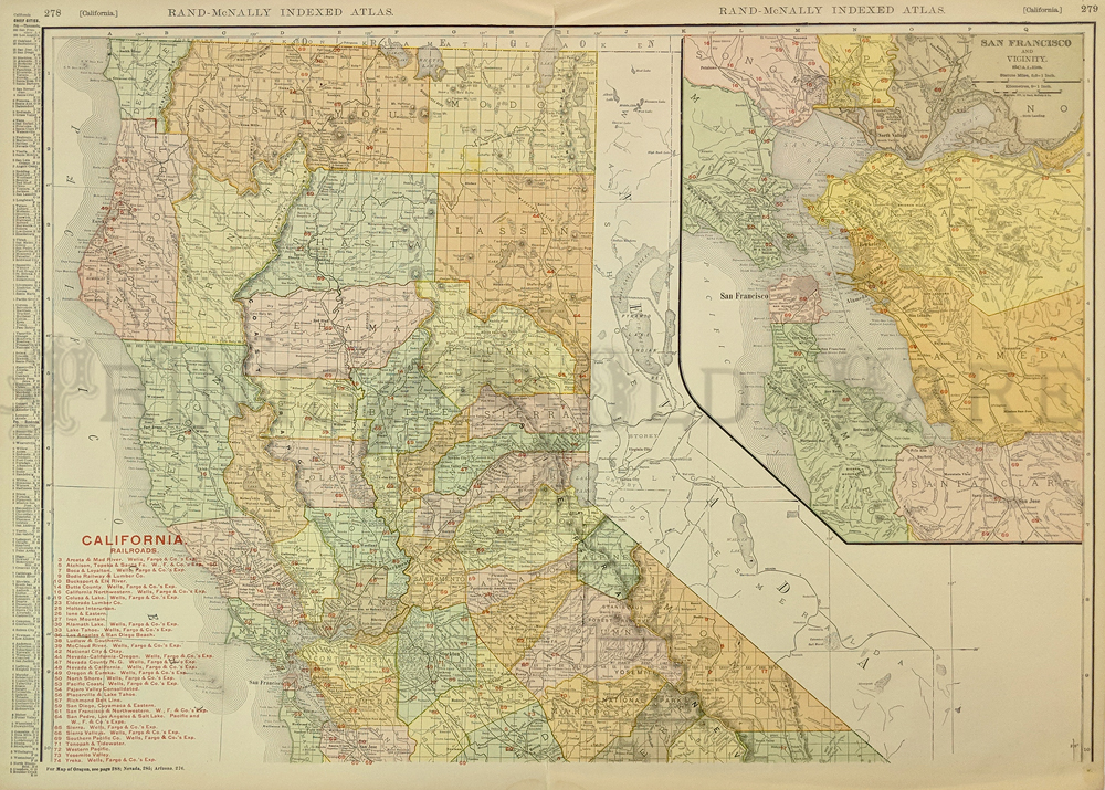
036ca:
1907 Railroad Map of Northern California. Original
color engraved antique map by Rand McNally. Lists and shows routes of
over three dozen railroads of that era. Large inset of the San
Francisco Bay Area. Excellent detail. 27x20 in. $80
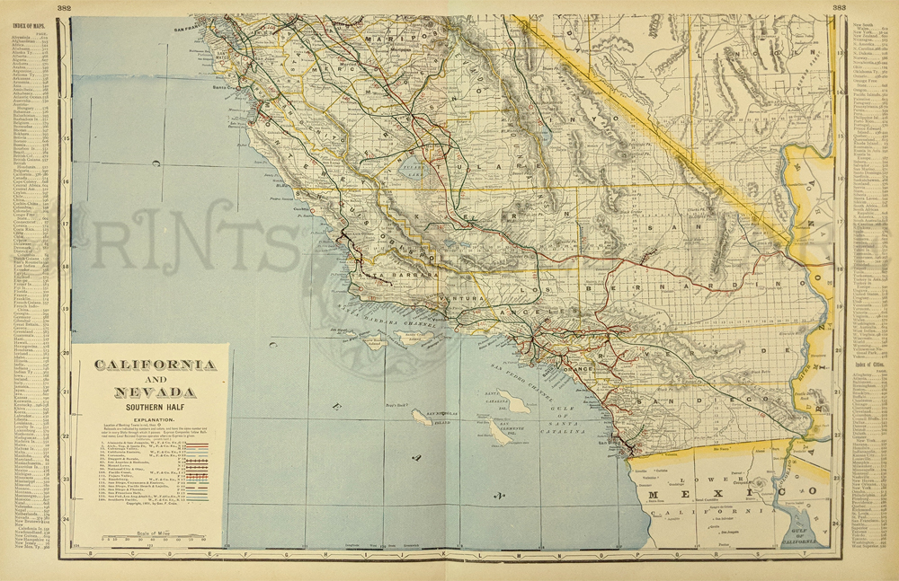
102ca:
1901 Map: Southern California and Nevada. Beautiful map from the 1901
first edition of George Cram's folio-size world atlas. Color coded
lines on the map show the names and locations of railroads throughout
the region. State and county borders are outlined in yellow. Cities,
towns and geographical features are all shown. This map would look
great in a frame! 18x27 in. $100
Check
for Availability
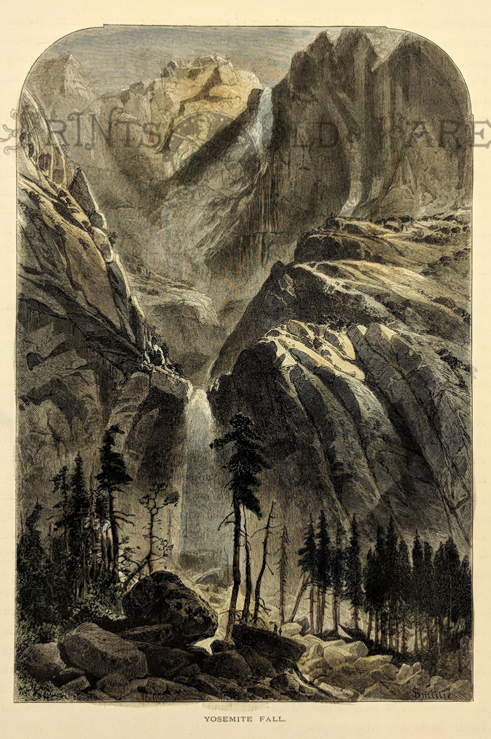
104ca:
1873 View of Yosemite Falls. Hand colored, engraved
view of the falls as seen from Yosemite Valley. Published in
Picturesque America, an 1873 book about American scenery. 9x13 in. $40
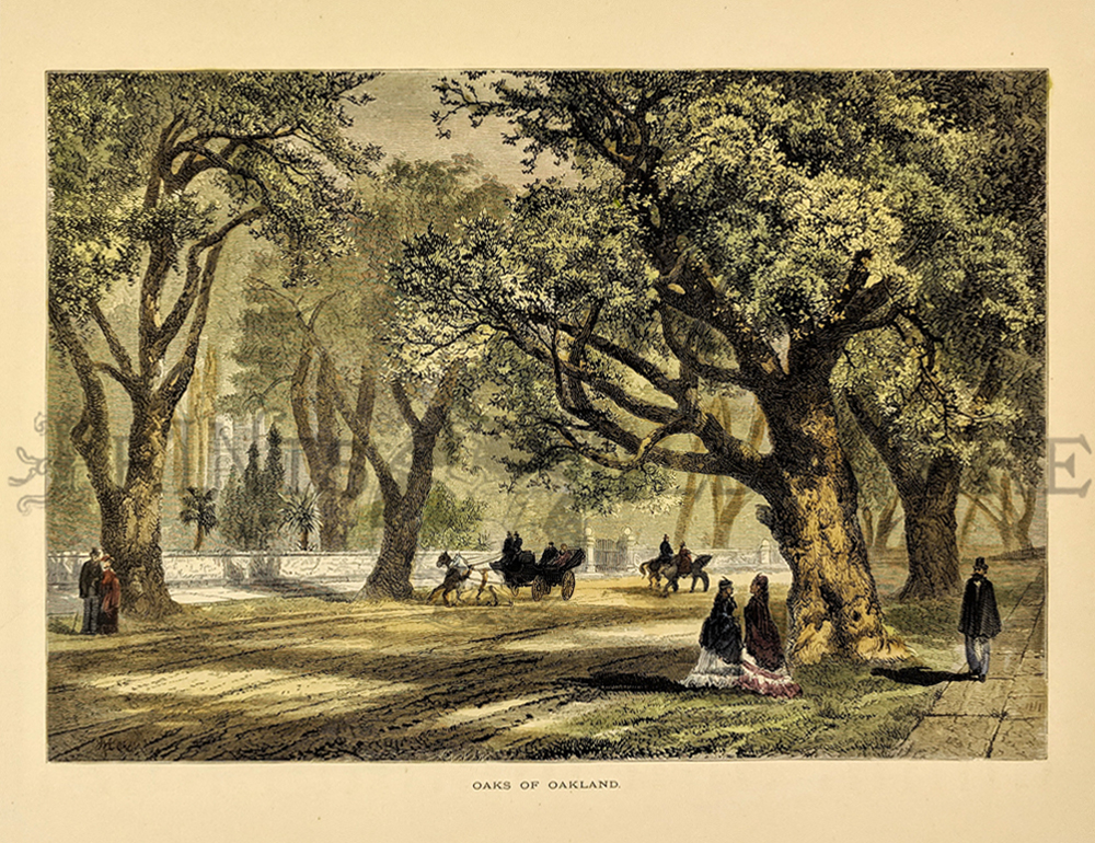
107ca:
1873 Scene in Oakland California. Hand colored engraving from
Picturesque America, titled "The Oaks of Oakland." Shows a street scene
in the city, with pedestrians and horse-drawn carriages
passing by huge
live oak trees. 9x12 in. $50
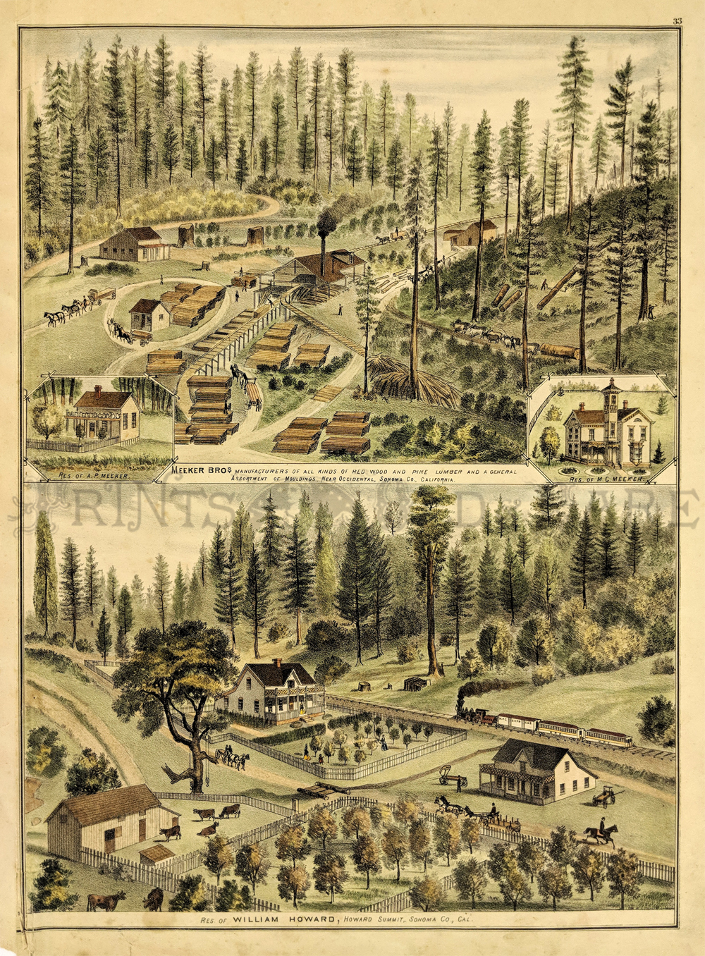
108ca:
1876 Sonoma County California Views. This color lithograph from a
California state atlas shows two views of Sonoma County:land and
sawmill owned by the Meeker Bros.Company and the Residence of William
Howard, Howard Summit.The left hand border of print has been archivally
repaired. Image not affected. 17x14.5 in. $120

109ca:
Large panorama of Hotel Green in Pasadena.
Beautiful colored lithograph c1910 shows the two main buildings
connected by a covered "bridge" walkway. Tear in right side has been
archivally repaired and is not visually distracting.
48x14 in. $450
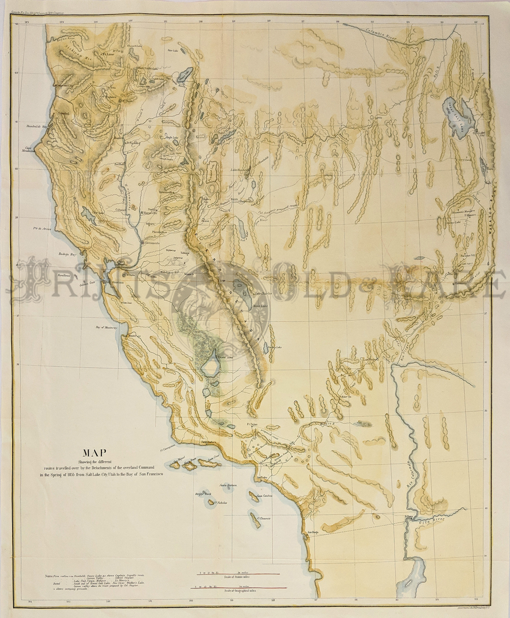
131ca:
1855 Map showing the Different Routes Travelled over by the Detachments
of the Overland Command from Salt Lake City to the San Francisco Bay.
Hand colored lithographed map.
23 x 19-1/2 in. $350
156sfo:
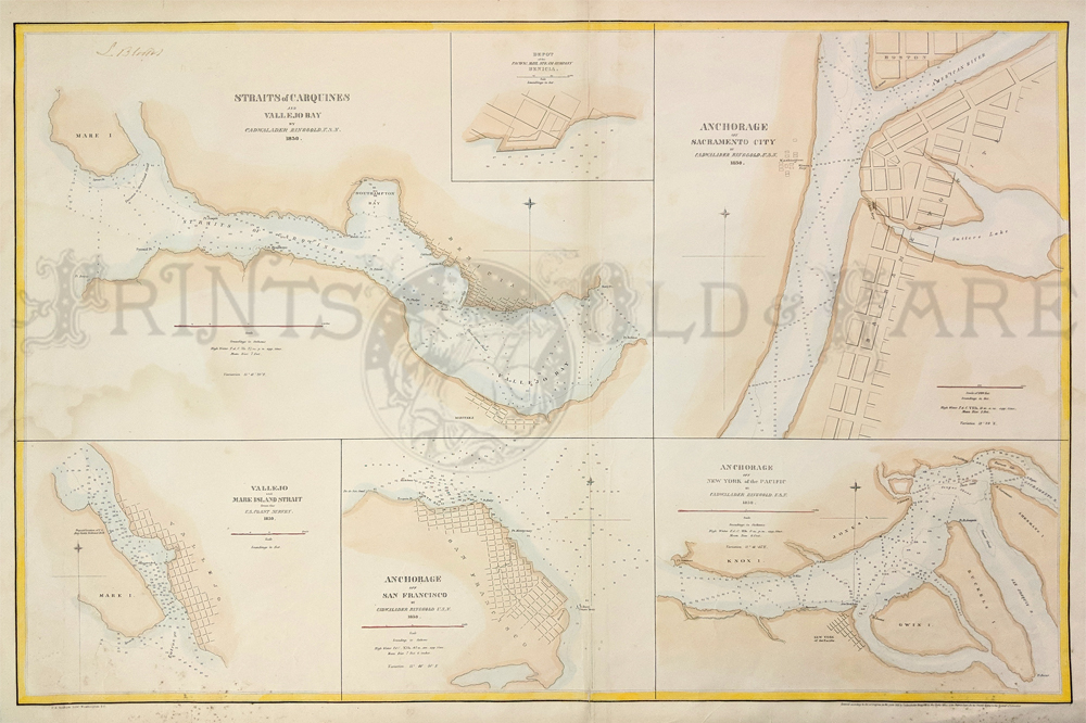
Straits of Carquines and Vallejo,
Ringgold 1850 - A very large chart with four insetsin original color,
showing the primary anchorages in San Francisco Bay and Environs at the
outset of the 1849 California Gold Rush. Inset 1: Vallejo Bay; Inset 2:
Mare Island; Inset 3: Sacramento City; Inset 4: San Francisco; Inset 5:
Susuin Bay (called New York of the Pacific). Cadwalader Ringgold was a
US Navy Officer who served in the US Exploring Expedition and later
headed an expedition to the Northwest, before retiring briefly before
the Civil War. Ringgold entered the US Navy in 1819 and commanded the
schooner Weazel against the West Indian pirates in the late 1820s. From
1838 to 1842, he participated in the Wilkes Expedition. In AUgust,
1841, Ringgold led a 60-man exploring party in San Francisco Bay,
exploring the sources of the Bay for twenty days. This expedition
traveled as far as Colusa, California. In July of 1849, Ringgold
returned to San Francisco as commander of an official survey team
surveying the harbor, shortly after the announcement of the discovery
of gold in California.
Condition: Excellent with some foxing in lower margins and some water
marks on left border and near image.
32 x 22 in.
$300
200California:
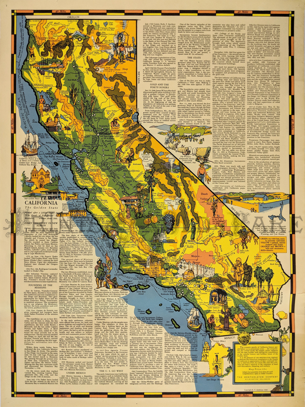
California Cartoon Map - 1938 color, pictorial cartoon map of
California showing trails, elevations, scenic spots, written
description and lots more. Published by Mentholatum Company,
Wilmington, Delaware.
22 x 17 in. $225
204ca:
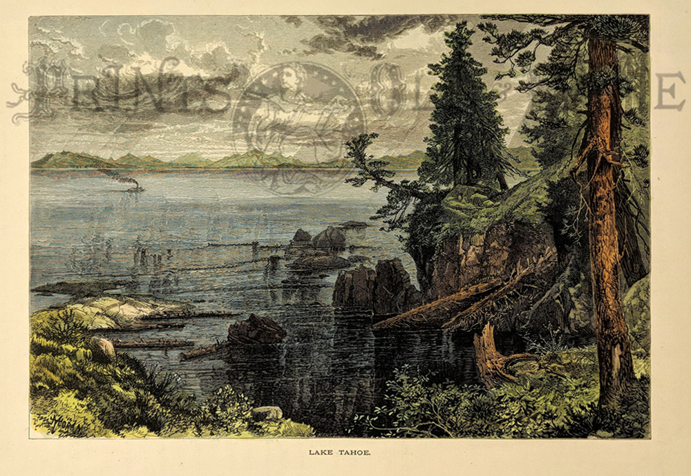
1873 Thomas Moran Lake Tahoe California View. Beautifully hand colored
woodcut engraving, drawn by Thomas Moran and published in Picturesque
America 1873. Title is "Lake Tahoe." Shows a view from the lake shore,
with a small steamboat in the distance.
9x12 in. $50

205ca:
1873 Thomas Moran Donner Lake California View.
Beautifully hand colored woodcut engraving, drawn by Thomas Moran and
published in Picturesque America 1873. Title is "Donner Lake, Nevada."
Donner lake is now in California, near the Nevada border. Nice
panoramic view of the lake, as seen from the
mountains nearby.
9x12 in. $50
207ca:
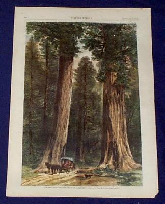
1873 Print: Giant Redwoods of California. This hand
colored, wood-engraved print is from the Feb. 1, 1873 issue of Harper's
Weekly. The print is titled "The Sentinels--Gigantic Trees of
California." It shows a horse and buggy driving between two gigantic
redwood trees.. The trees are in what is now called the Calaveras Big
Trees State Park, in the central Sierra Nevada mountains. This print is
in excellent condition.
11x16 in. $80
Check
for Availability
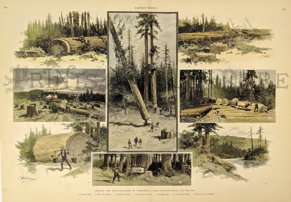
214ca:
Double page spread from Harper's Weekly dated October
30, 1886. Beautiful hand colored engraving showing seven panels titled,
Felling the Red-Wood Trees of California. Drawn by Charles Graham.
16x22 in. $220
Check for
availability
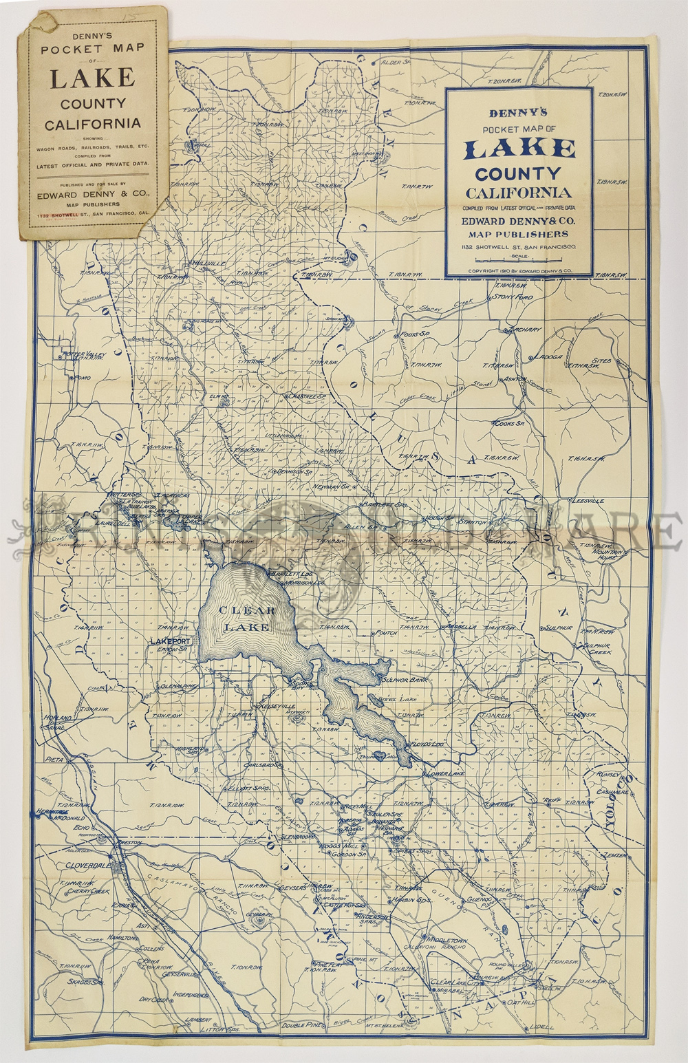
000California:
Denny’s Pocket Map of Lake County California, 1920 - A large folding
blue-line pocket map of Lake County, California, blue on white
background, very detailed map of the county by Edward Denny and Co. The
title on the wrapper reads "Denny's Map - Lake County California...
Published by Edward Denny, rare map only a few copies at U.C. Berkeley
and U.C. Davis.
Condition: Very good, size 17 x 22 3/4 image,
folding into stiff paper wrappers to a 7 x 4 1/4" pocket. $200
SOLD
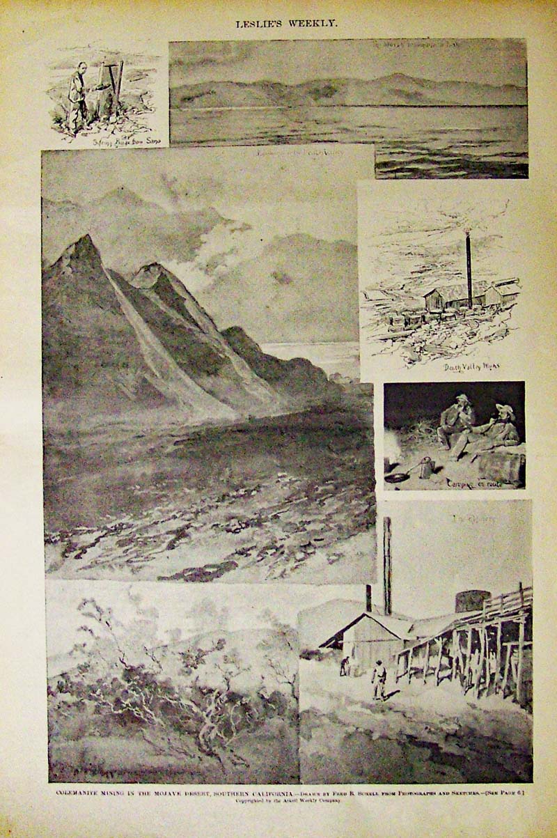
025min:
1894 Colemanite Mining in the Mojave
Desert, Southern California. Half-tone images featured in Leslie's
Weekly. Seven vignettes, including one of Death Valley works.
16 x 11 in. $35
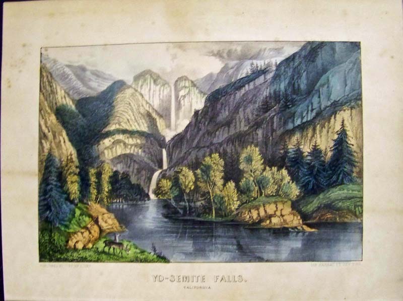
075ci:
C.1860s Rare Currier & Ives hand colored lithograph titled,
"Yo-Semite Falls, California." Medium
folio in fine condition.
15-1/2 x 12 in. $900
010pictorialmaps:
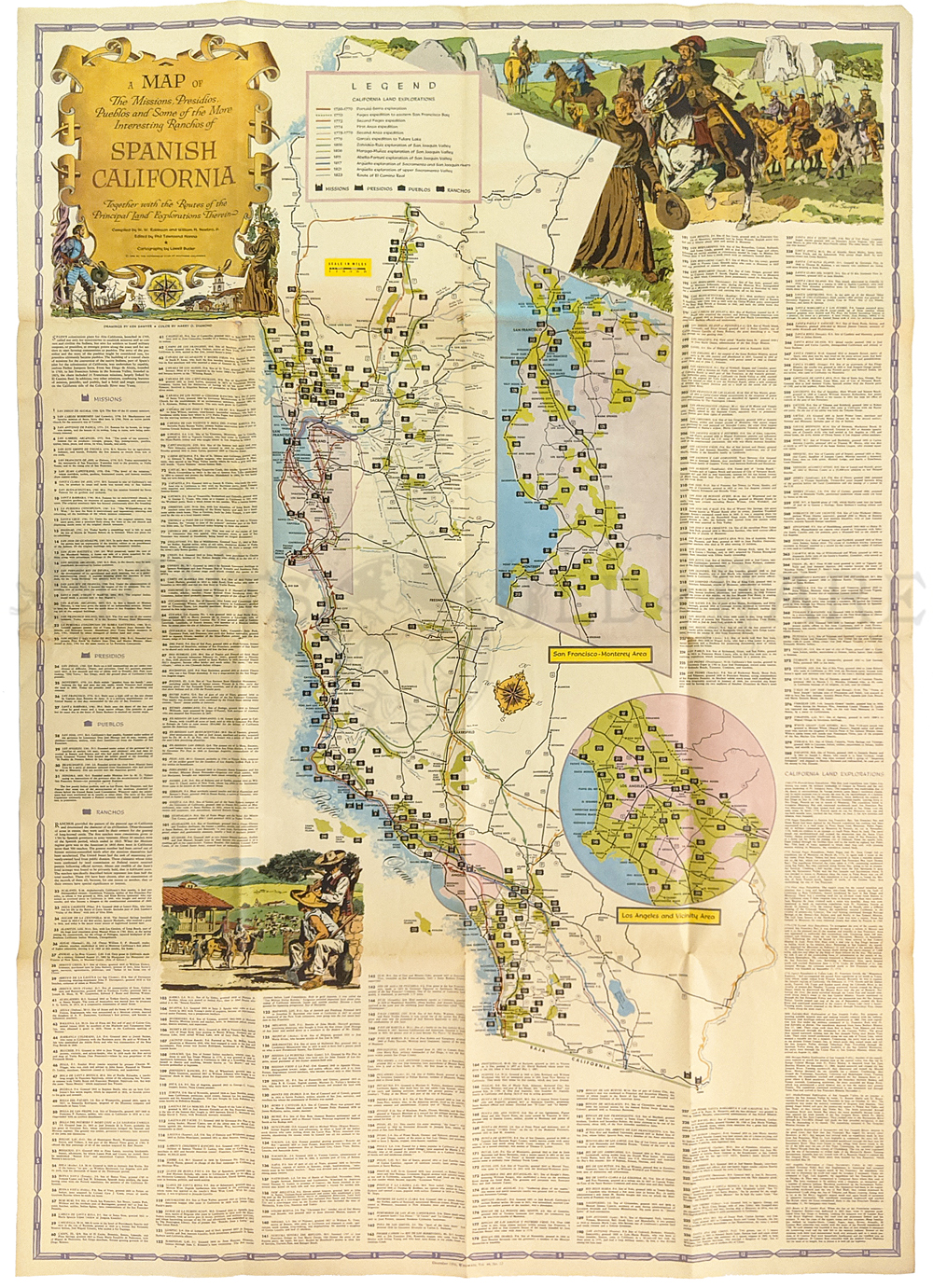
Spanish California. 1956. A Map of the Missions, Pueblos, Ranchos and
Routes of Exploration by Lowell Butler. For AAA, Published by Westways
Magazine.
46 x 32 in. $65
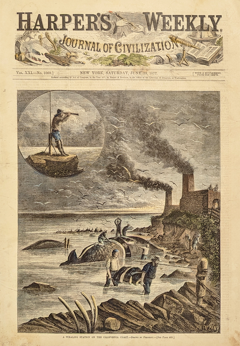
003whl: 1877 California Whaling.
Whaling station off the California coast near Monterey. Harper's front
page. 11x16 in. $80
|
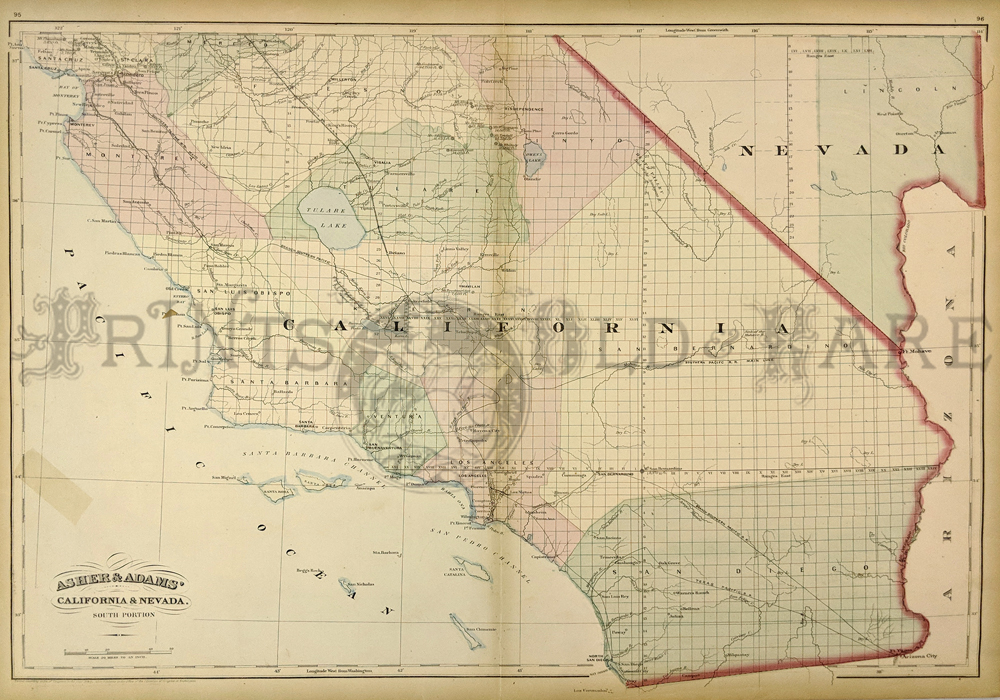
215ca:
Beautiful 1872 map of Southern California and Nevada.
Published by Asher & Adams in the New Statistical and
Topographical Atlas of the United States. Original hand coloring.
17.5x24.5 in. $200

216ca:
Very Rare Birds-Eye view of Riverside, California.
Beautiful colored lithographs from c1875. Vignettes around center
picture show, the Court House, Chaffey College, Irrigating Ditch, and
Irrigating an Orange Grove.
13.5x10 in. $100
Click here to view more College and
University Prints
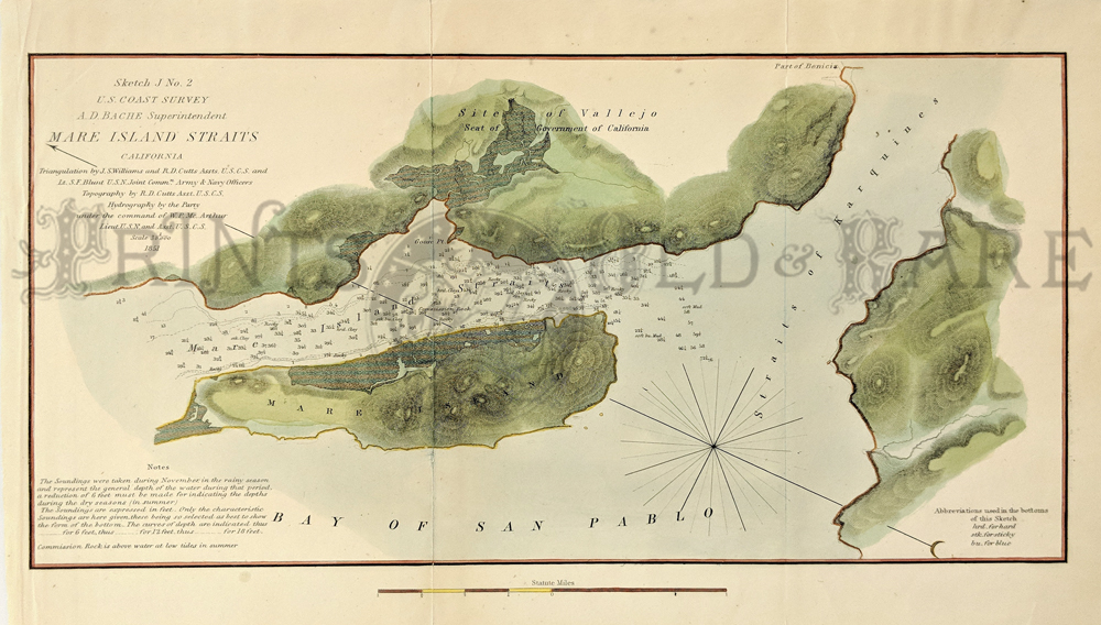
218ca:
1851 Mare Island Straits map. This hand colored engraving shows San
Pablo Bay, Mare Island, the Mare Island straits with soundings, the
Straits of Karquines(sic) and the Site of Vallejo - the seat of
government of California". The title of the map is: "Sketch J No.2,
U.S. Coast Survey, A.D. Bache, Superintendent, Mare Island Straits
California, 1851". 8.5x13.5 in. $60
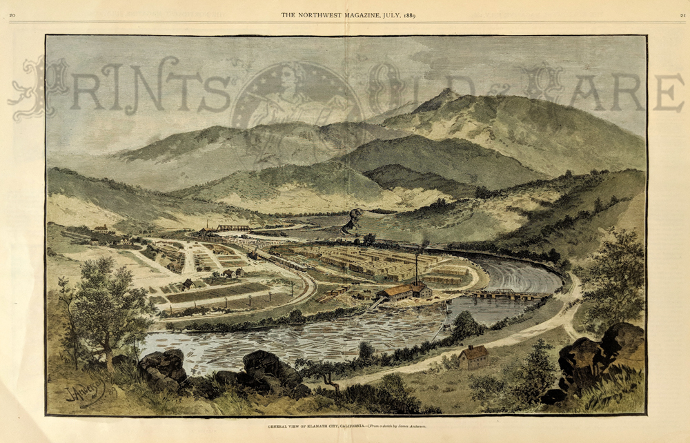
221ca:
Hand colored wood engraving from The Northwest
Magazine dated July, 1889. The caption at the bottom is, " General view
of Klamath City, California". Image is a distant view showing a
horse-shoe bend in the river with a bridge, railroad tracks, streets
and buildings.
13.5x20 in. $150

224ca:
1854 Pulgas Base map. This hand colored engraving
shows the "Pulgas Base" line in the San Jose area. The title of the map
is: Sketch J No.5, U.S. Coast Survey, A.D. Bache, Superintendent,
Pulgas Base, California, 1854. Inset of the position of Pulgas Base in
the Vicinity of San Francisco Bay.
10x13 in. $50
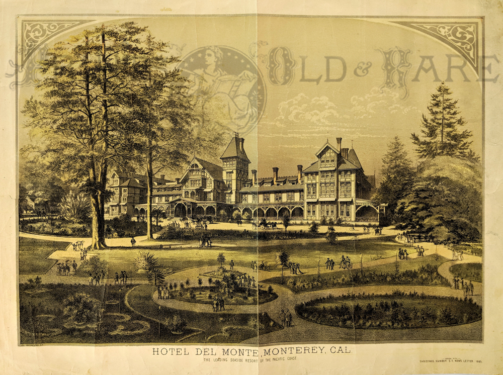
225ca:
This is a RARE chromolithograph done by Britton & Rey for the
San Francisco Newsletter's Christmas edition 1883. Image is of the
Hotel Del Monte in Monterey. The title of this double spread page
is,"Hotel Del Monte, Monterey,Cal. The Leading Seaside Resort of the
Pacific Coast". It is a distant view showing the entire hotel building
and all of the surrounding gardens. 21x16 in. $450
SOLD
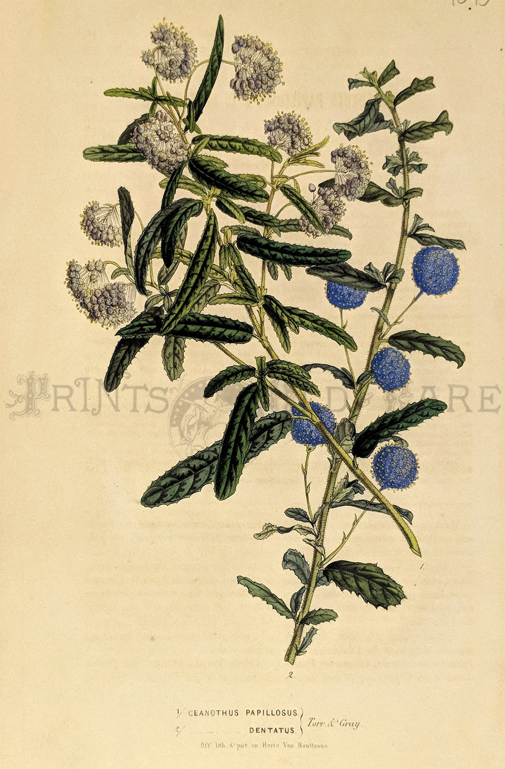
226ca:
Ceanothus Papillosus - Dentatus (Torr & Gray) hand colored
lithograph by Horto Van Houtteano.
10 x 6-1/2 in. $60
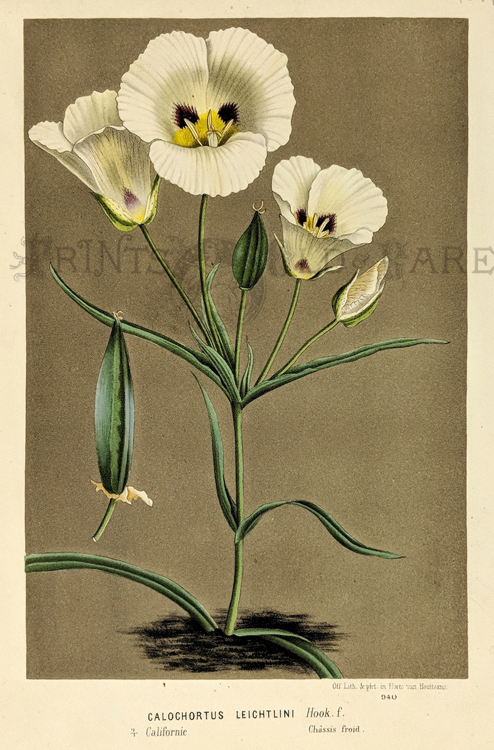
227ca:
1874 Calochortus Leightlini - Californie chromolithograph by Horto Van
Houtteano.
9-1/2 x 6-1/2 in. $80
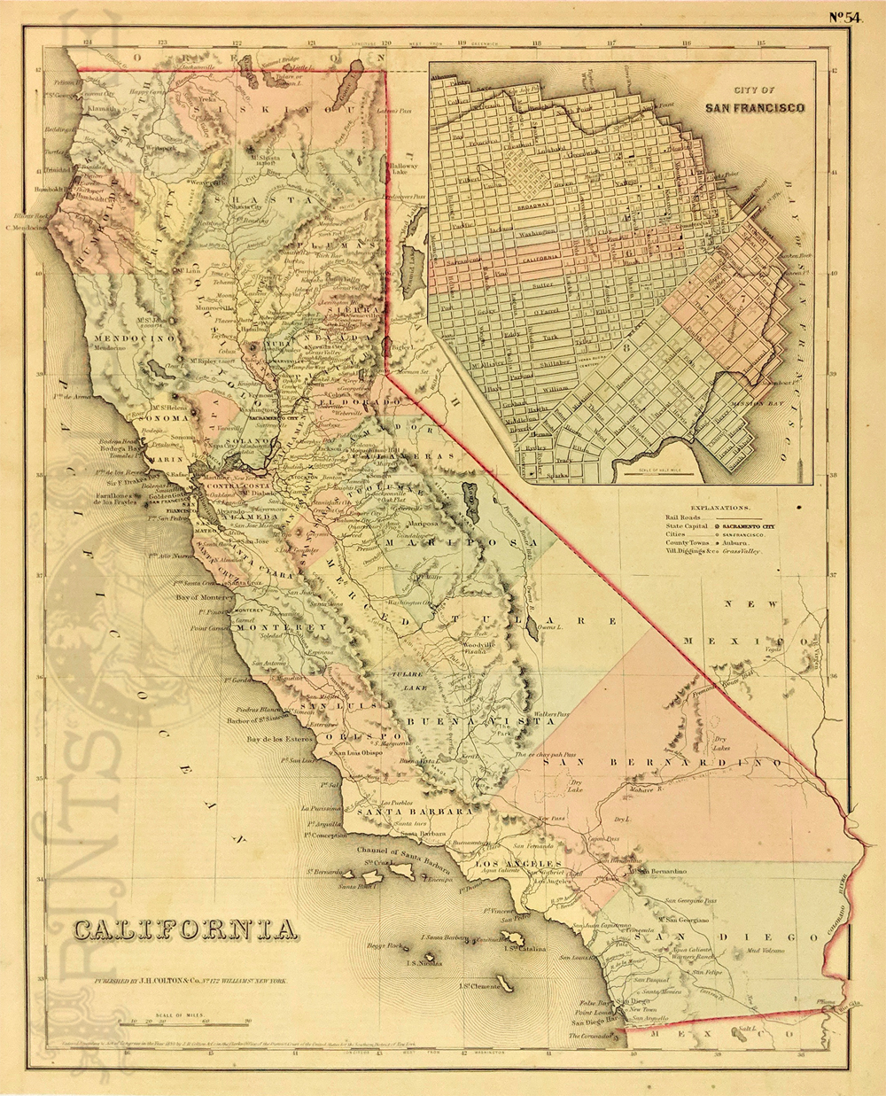
228ca:
Beautiful hand colored engraving of California. Map
published by J.H. Colton & Co. in 1855. Inset in upper right
corner of the City
of San Francisco.
14x16.5 in. $200
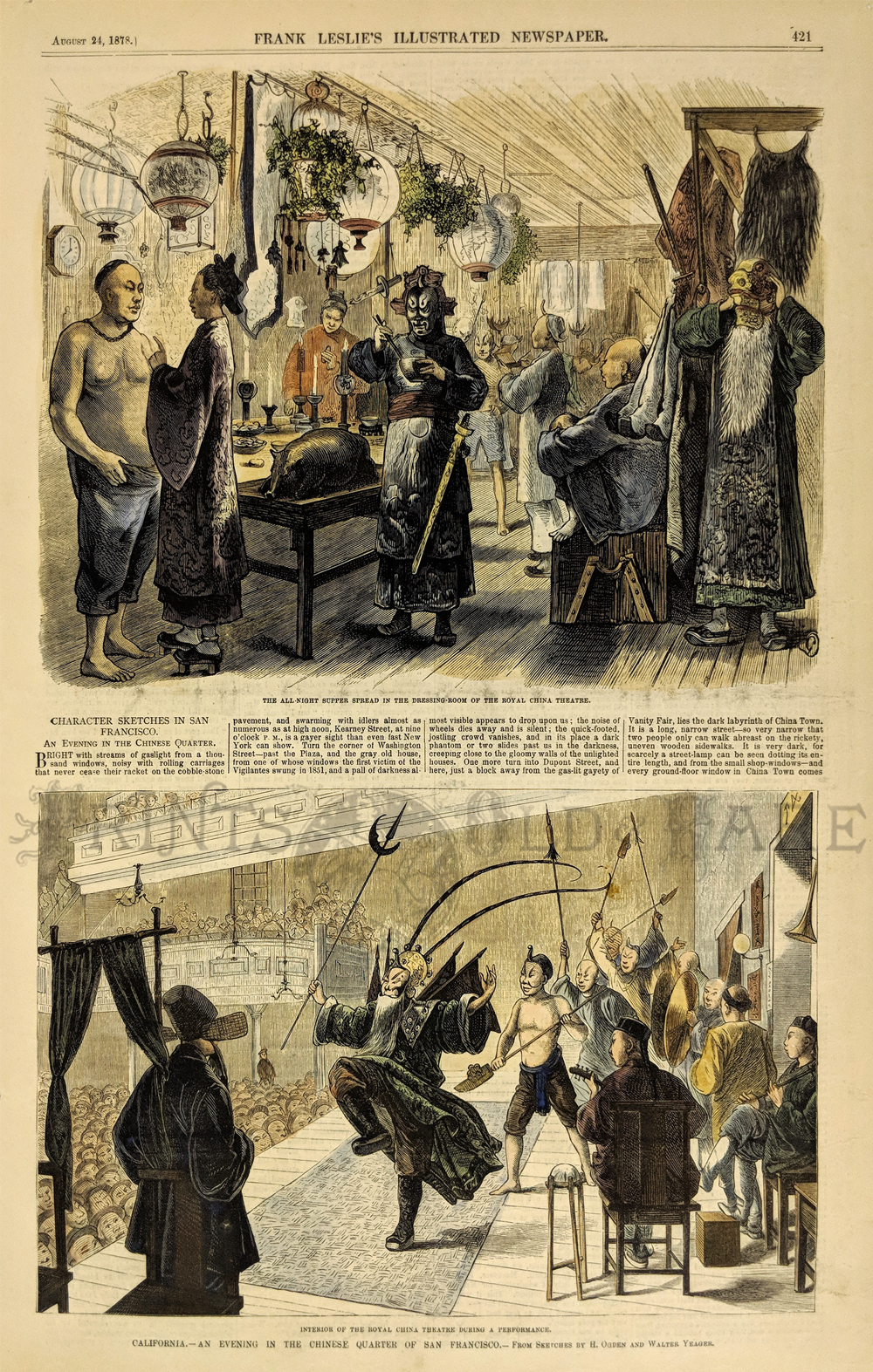
232ca:
Chinese Americans in San Francisco. Two hand
colored views from Frank Leslie's Illustrated Newspaper dated August
24, 1878. Images showing California - An Evening in the Chinese Quarter
of San Francisco. Top image is titled "The all-night supper spread in
the dressing room of the royal Chinese Theatre" Bottom image is titled
"Interior of the Royal China Theatre during a performance." Short
article between the two images describes the goings on in around the
Chinese Theatre.
11x16 in. $60
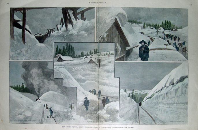
237ca:
Rare antique print showing five images of the Sierra
Nevada Mountain range. Hand colored views from Harper's Weekly dated
February 22, 1890. Image titled "The Sierra Nevada Snow Blockade".
Clockwise captions read "Collapsed snow sheds at Emigrant Gap", "The
Outfit Train at Blue Canyon", "Deep Cut Near Summit", "General View of
Blue Canyon" and "Ploughing Out Main Track Near Summit".
22x16 in. $250
Check for
availability
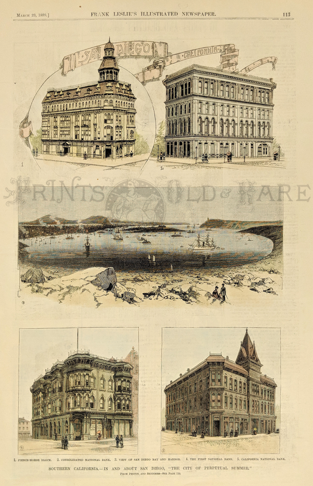
238ca:
Beautiful hand colored views of images in Southern California - In and
About San Diego, "The City of Perpetual Summer". From Frank Leslies
Illustrated Newspaper dated March 23, 1880. Five images title "Pierce -
Morse Block", "Consolidated National Bank", "View of San Diego Bay
& Harbor", "The First National Bank" and "California National
Bank."
11x16 in. $80

242ca:
1916 The Mount Tamalpais Outdoor Play article written
in text, featuring two half-tone photographs with commentary about
"Shakuntala," as hundreds of onlookers enjoy the sunshine as they watch
the actors perform.
10x14in. $30

243ca:
1888 Views in Lower California. Hand colored wood engraving featuring
four different scenes, published in The Illustrated London News.
16 x 11 in. $50
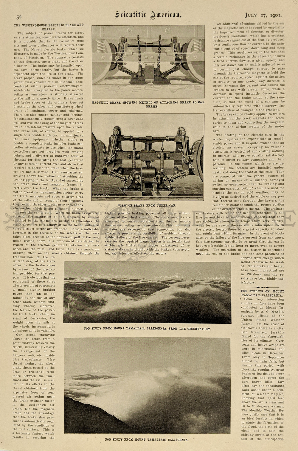
244ca:
1901 article published in Scientific American on July 27, 1901.
Featuring two views of fog studies on Mt. Tamalpais.
11x16in. $30
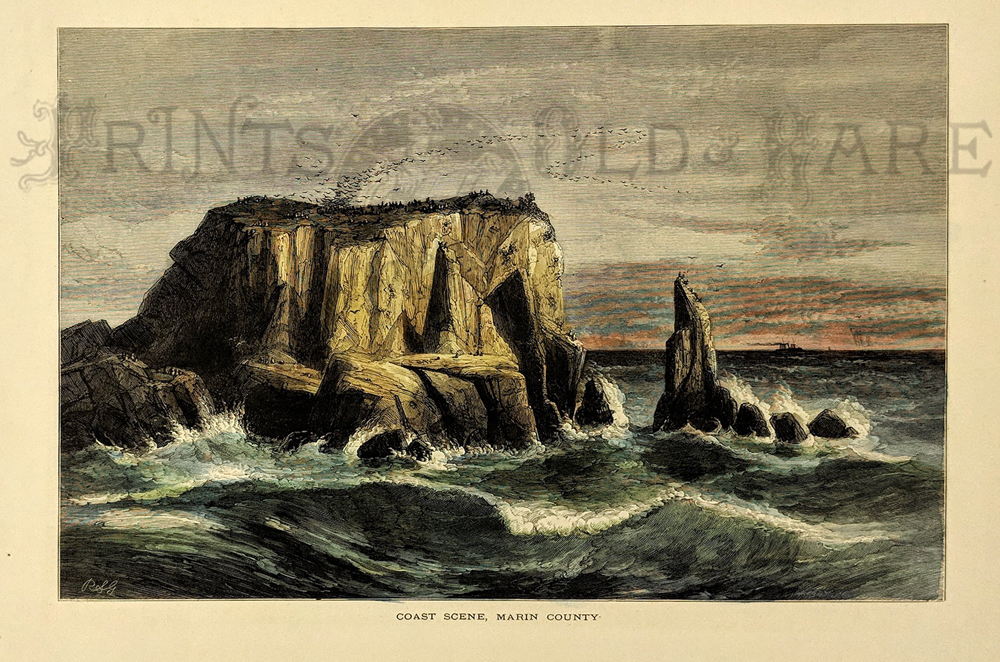
245ca:
1872 Coast Scene, Marin County. Hand colored wood
engraving titled, "Coast Scene, Marin County." 9x12.5in. $40
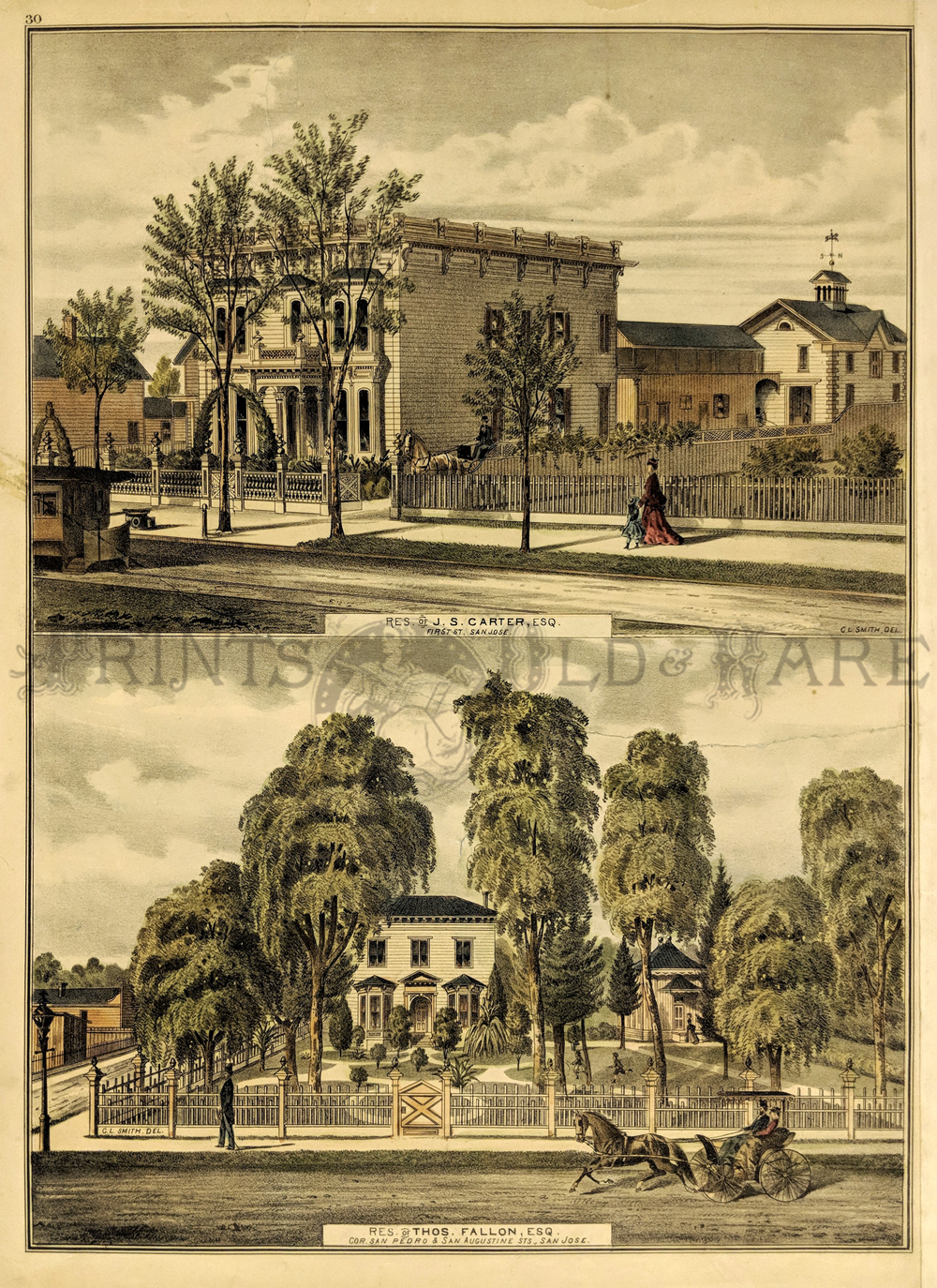
248ca:
San Jose residence of J.S. Carter, Esq. AND
Residence of Thos. Fallon, Esq. Hand-colored lithograph featuring two
different pictures. (Condition: Patched tear on right side of lower
picture; barely noticeable). 13x17in. $150
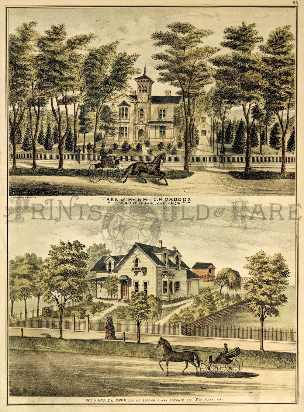
250ca:
Residence of Mr. & Mrs. C.H. Maddox AND Residence of Mrs. S.L.
Knox. Hand colored lithograph featuring two different pictures.
(Condition: Small water stain in bottom right near corner; small tea
near top right).
13x17in. $150

251ca:
Residence of B.F. Watkins and Orchard Farm in top
picture AND Somerville Lodge" Farm & Residence of L.H. Bascom
in bottom picture. Both are hand colored lithographs. 13x17in. $150
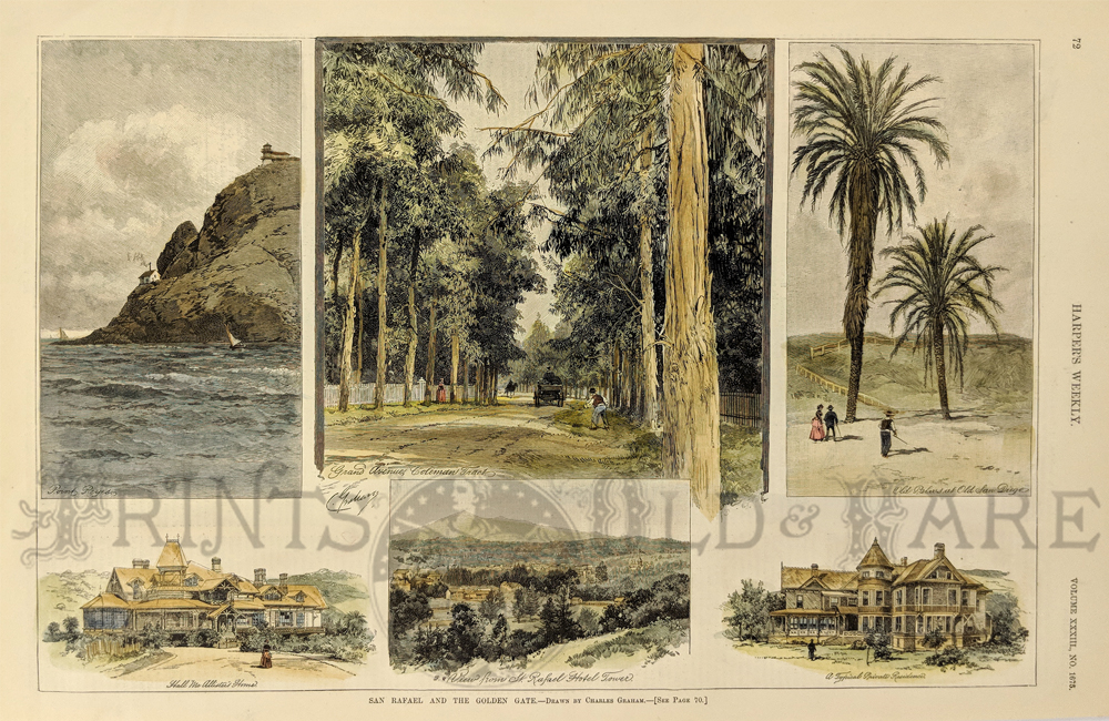
252ca:
1889 San Rafael and the Golden Gate - Drawn by
Charles Graham. Six hand colored wood engravings depicting views of San
Rafael and surrounding views of the Golden Gate. Published in Harper's
Weekly on January 26, 1889. Volume XXXIII., No. 1675.
11x16in. $120

255ca:
1856 Lynch Law in California - Surrender of Prisoners
At the County Gaol, San Francisco. Hand colored wood engraving
published in The Illustrated London News on July 12, 1856. Featured on
the bottom of page with text and other engravings on top. 11x16in. $40
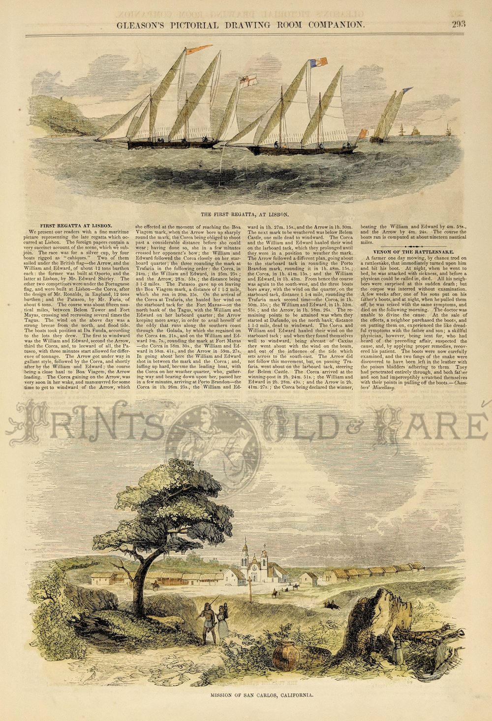
262ca:
C.1850
Hand colored wood engraving featured in Gleason's Pictorial Drawing
Room Companion. Title of bottom image is, "Mission of San Carlos,
California."
15-1/2 x 11 in. $45
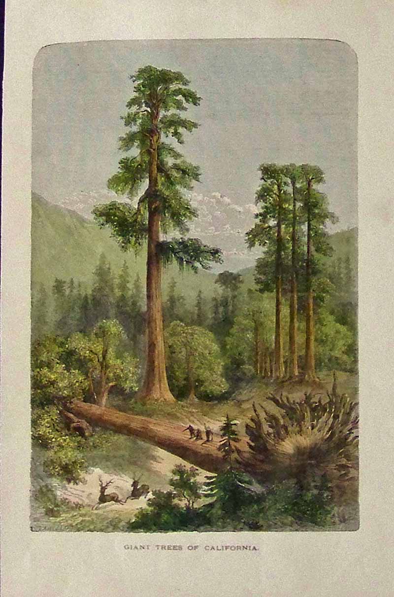
263ca:
Hand colored wood engraving showing the Giant Trees of California.
Featured in
Voyages and Travels.
12 x 8-1/2 in. $40
SOLD

270ca:
1880 Original Thompson & West
lithograph from the History of Sacramento County, California, published
in Oakland, Cal. This image is part of the "Big Four" of Central
Pacific Railroad fame and shows Huntington Hopkins & Co.
Hardware
Store, originally owned by Mark Hopkins and Collis P. Huntington. The
store survives today as part of Old Sacramento. Lithograph is matted
and
in fine condition.
17 x 14 in. $250

272ca:
1856 Hand colored wood engraving
featured in Ballou's Pictorial Drawing-Room Companion which is titled,
"California Gold-Diggers -- A Scene From Actual Life At the Mines."
21-1/2 x 15 in. $400
SOLD
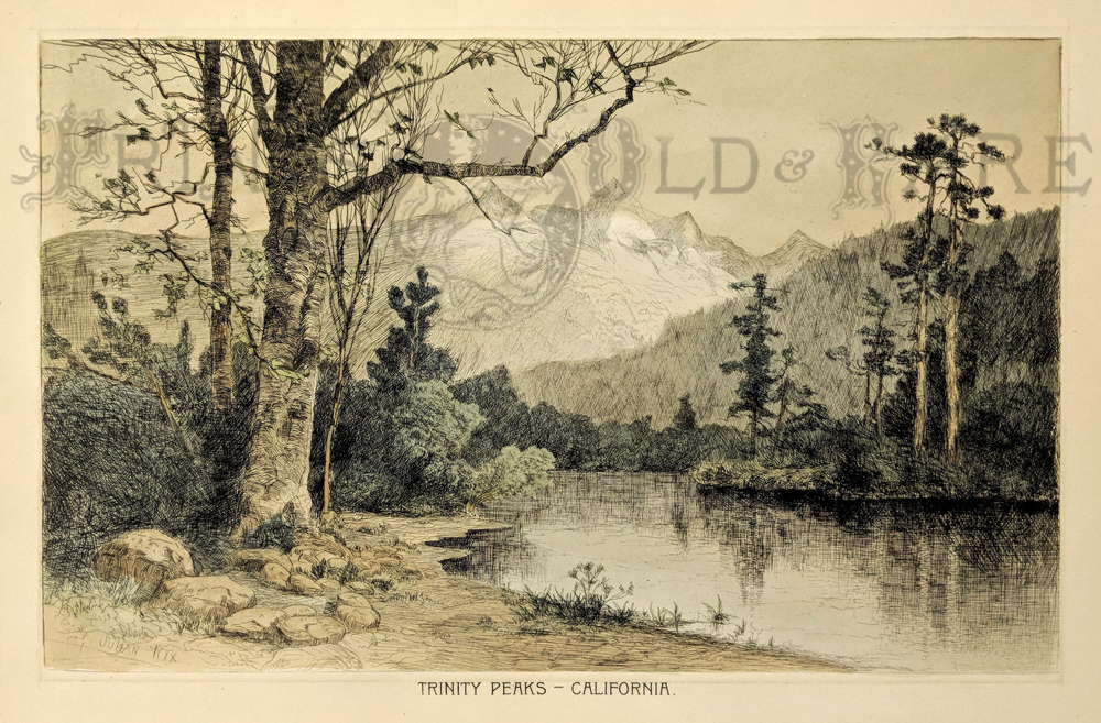
273ca:
1888 Hand-tinted etching showing, "Trinity Peaks -- California," By
Julian Rix. Fine condition.
14 x 10-1/4 in. $80

275ca:
1855 Geological Map of California, explored by Lieut. R.S. Williamson
to accompany William Blake's Report. Bottom left of map shows nine
types of rocks that are color-keyed. Originally folded and
in fine condition.
25 x 19 in. $175
Check for
availability
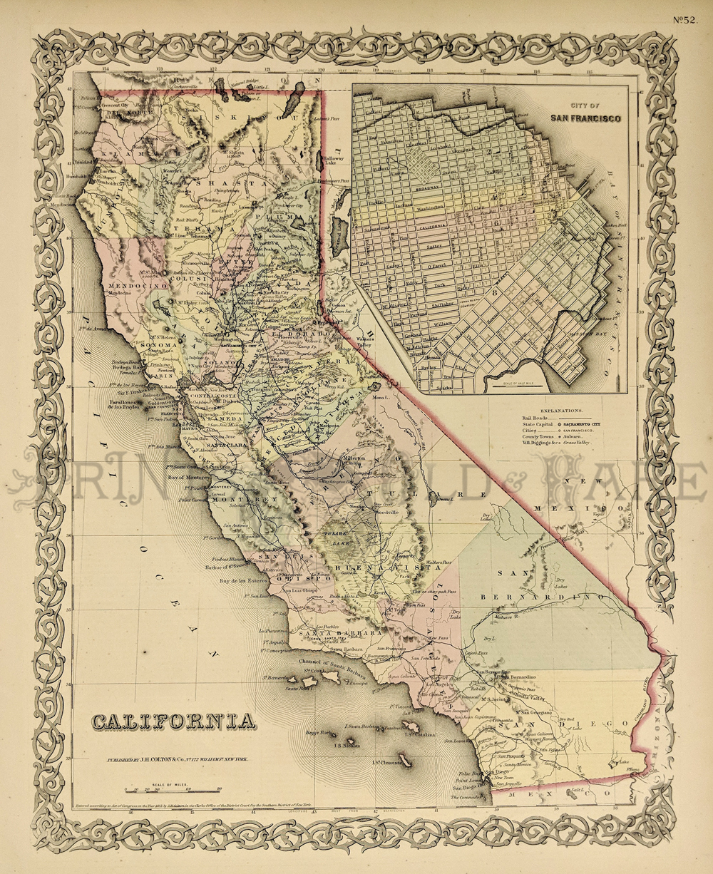
276California:
1855 J. H. Colton original
hand colored engraved map showing California with inset top right of
the City of San Francisco. Colton was among the earliest map makers
with very accurate maps depicting cities and states in the United
States.
17-1/2 x 14-1/2 in. $295
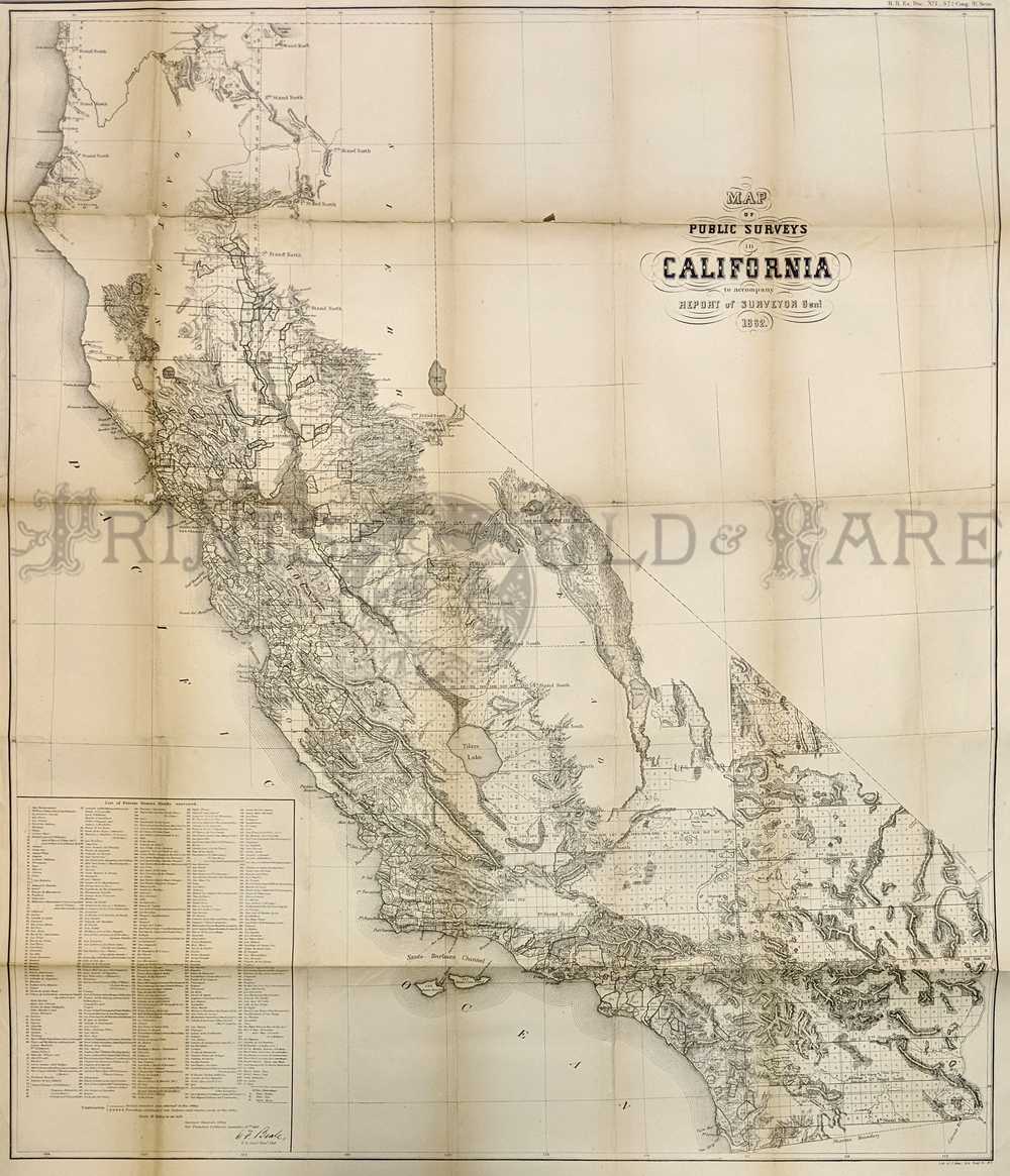
278ca:
1872 Lithographed Map of Public
Surveys of California to accompany Report of Surveyor Genl. Left side
of map shows a List of Grants
Finally Surveyed.
32 x 37 in. $700
SOLD
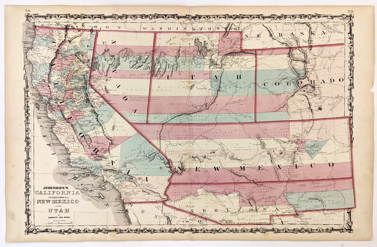
279California:
Johnson’s California, Territories of New Mexico, Arizona, Colorado,
Nevada and Utah 1863 - A large engraved and original hand colored map
of California & the Southwest, the map has a very decorative
border, pastel colored counties and shows a number of interesting
territorial anomalies. Nevada has its lower corner truncated, leaving
Las Vegas in Arizona. Utah extends approximately 1 degree too far to
the west, prior to the last set of reductions undertaken by the US
Government. Several counties still extend into both Arizona and New
Mexico. In each of the states and territories, the county
configurations are still largely incomplete. This is one of the most
detailed accurate commercial maps of the era that includes the US Pony
express route, explorer routes, the major routes of commerce, towns,
forts, Indian Tribes, mountains, rivers, roads, mining districts,
proposed railroad routes, important dates in the evolution of the
US-Mexico Boundary, etc. Johnson's map of the West is one of the most
interesting and collectable maps of the period. The maps were updated
annually or more often, showing profound territorial boundary changes
and county formations from year to year and even within a single year.
Condition: Very good, fold in middle with some staining along the fold,
water marks on margins and some light foxing inside image.
size 23.5 15.5 image.
$600
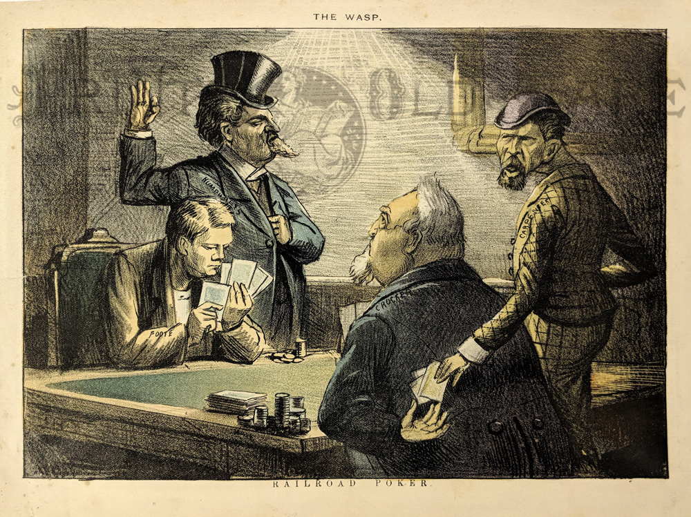
281ca:
Crocker of "Big Four" Fame - Playing
Railroad Poker - Foote being tricked in a poker game with Humphrey and
Carpener helping Crocker. Original page from The Wasp magazine. C.1895
chromolithograph.
13-1/2 x 10 in. $125

033brd:
Promerops or Bee-Eater of North
California. This 1798 rare hand colored copper engraving is by J.R.
Prevost is from the La Perouse Voyages.
17 x 11 in. $150
022frame:
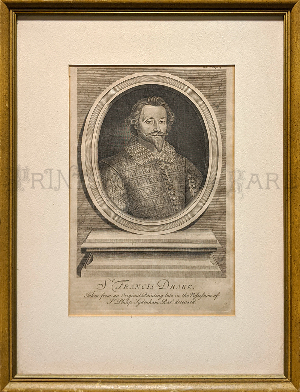
Sir Francis Drake c.1745. Copper engraving of the famous 16th century
British Explorer. Museum matted in simple wooden frame.
Frame size: 14” x 19” in. $125
238rr:
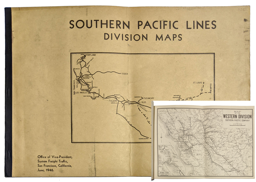
Southern Pacific 1946 Division Maps. (19) Maps - very
detailed of the South Pacific R.R. Lines. Very good condition.
10 3/4 x 15 in. $325
|
320California:
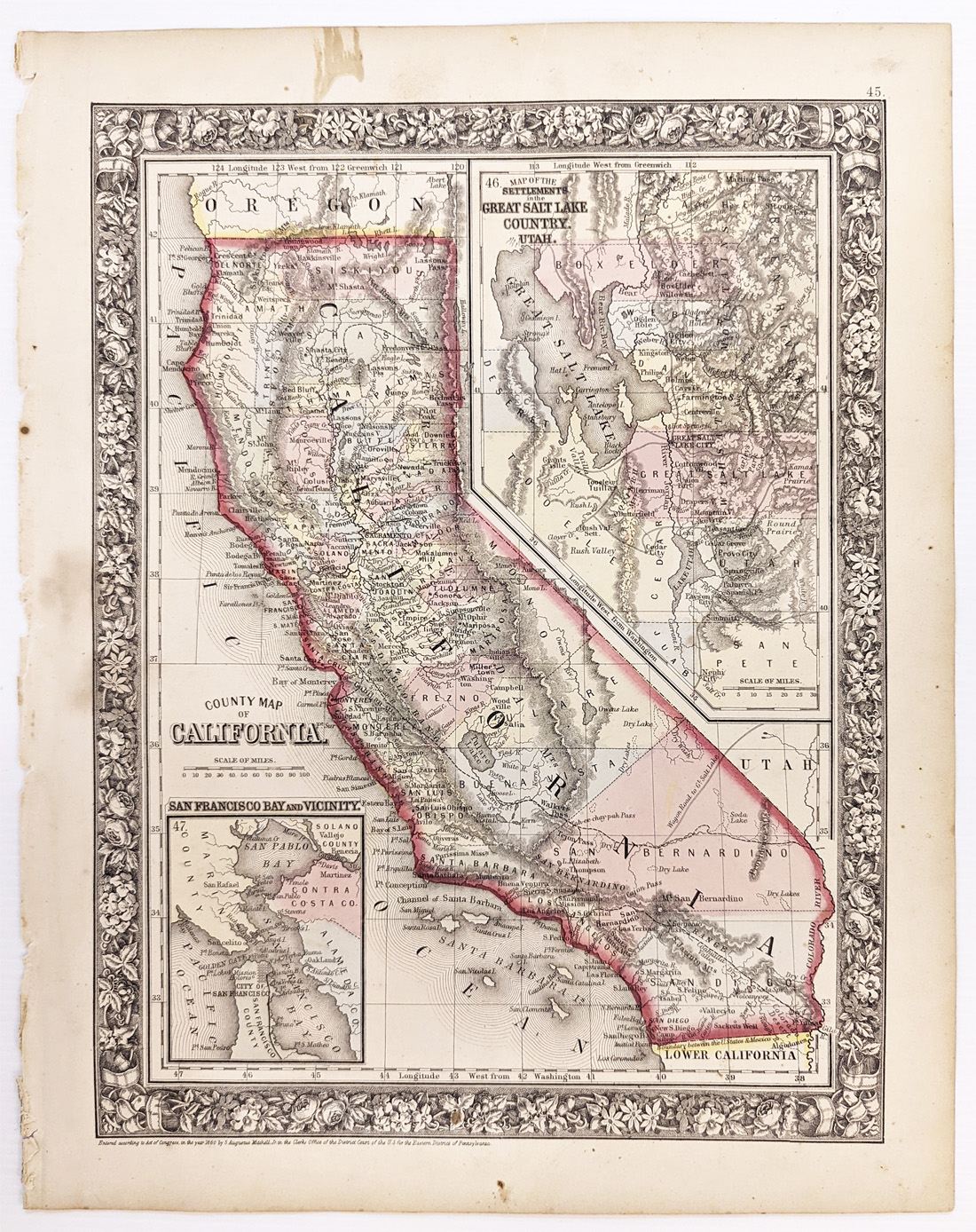
1860 Mitchell's County Map of California. Showing travel routes, towns,
and cities throughout. Inset map of the settlements in the Great Salt
Lake Country, Utah. Hand colored, lithograph. **Minor water stains
along border.
12 1/2 x 15 1/4 in. $275

321California:
1888 Hand colored lithograph of Mt. Tam showing the bay and mountain
with low cloud covering and sailboats. A buoy rocks in the rough surf
as seagulls flock overhead.
12 x 15 1/2 in. $80
322California:
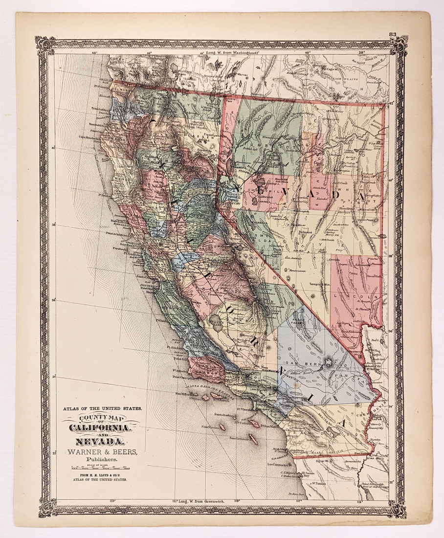
1873 County Map of California and Nevada. Warner & Beers. Shows
towns, railroads, roads, rivers, mountains, dry lakes, Indian Tribes,
etc. Showing only 6 Southern California Counties.
15 3/8 x 18 1/8 in. $200
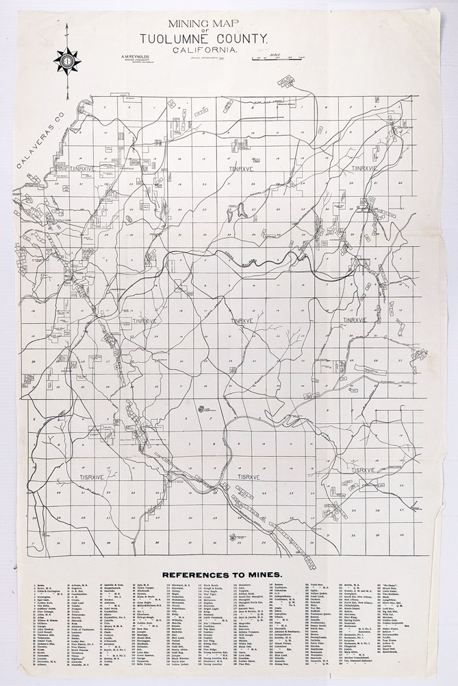
323California:
Mining Map of Tuolumne County, California. Reference to mines shown on
bottom of map. Rivers, creeks, railroads and roads are also shown.
16 1/2 x 25 1/2 in. $90
SOLD
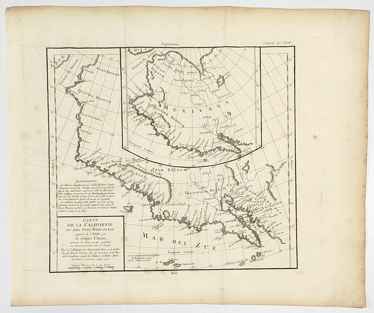
325California:
Carte de la Californie. 1772 deVaugondy. Map highlighting California.
Showing Anian to Cabo San Lucas (Baja, Ca) – Copper engraving. Fine
condition.
15 ¼ x 18 in. $425
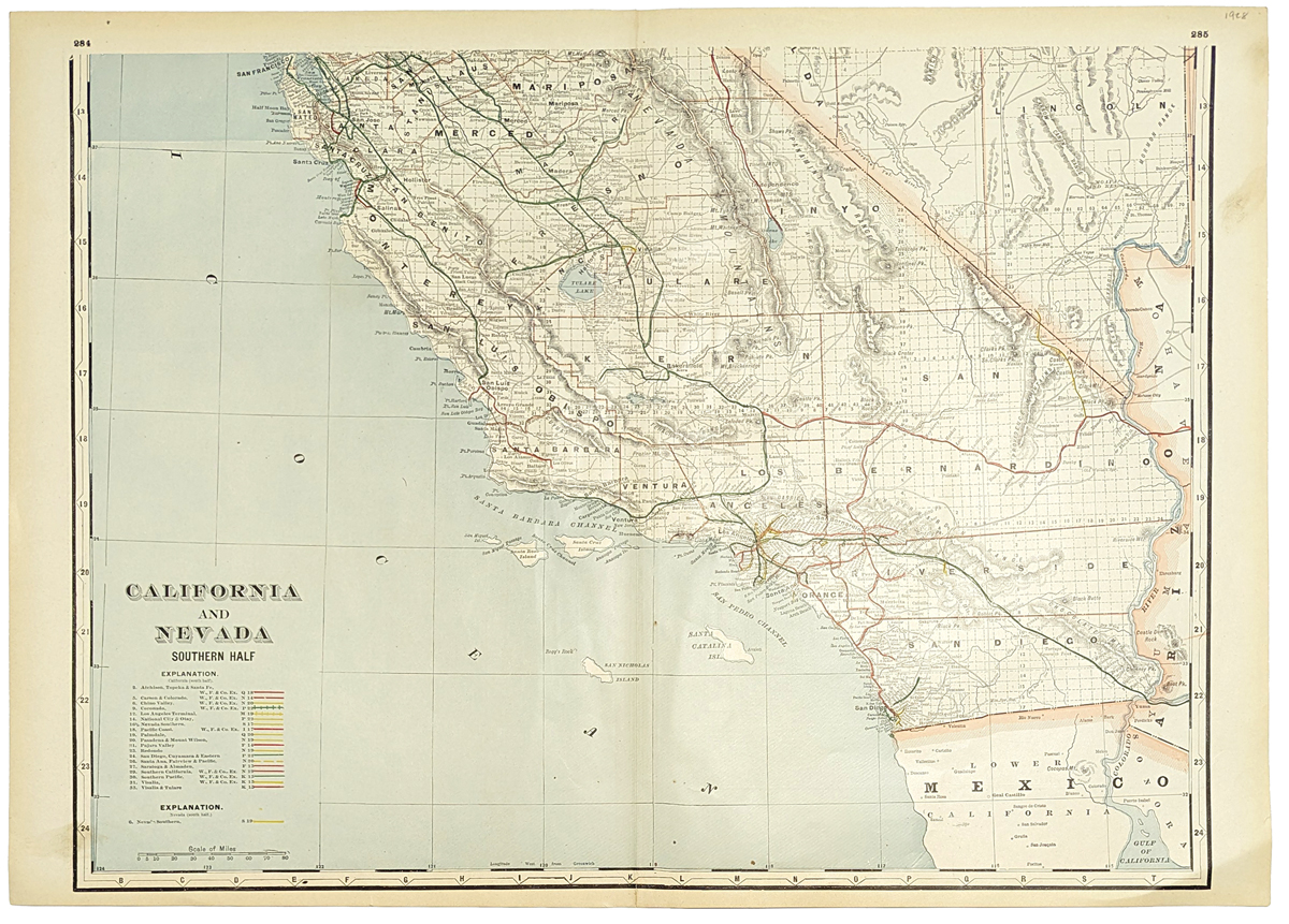
327California:
1928 California and Nevada. Southern half of California. Showing the
cities, topographical details, railroad lines, lakes, etc.
17 5/8 x 25 1/8 in. $60
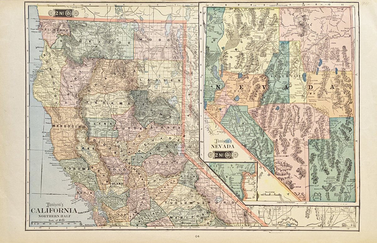
328California:
1901 Tunison's California (Northern half) and Nevada. Showing the
cities, topographical details, counties, lakes, etc.
14 5/8 x 23 1/8 in. $60
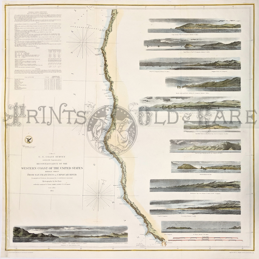
006California:
San
Francisco to Umpquah River 1854, United States Coast Survey. Shows depth readings and notes on
important coastal
characteristics. The names of harbors, rivers,
islands, channels, shoals, capes, inlets, and coastal towns are
identified on the map.
25 x 24 in., folded in the middle.
$500
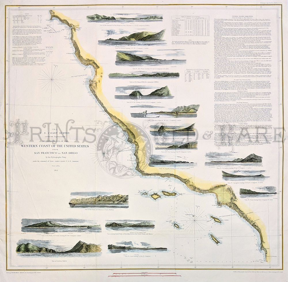
295California:
San
Francisco to San Diego. 1852 US Coast Survey - 17 detailed insets of
bays and capes, etc. Also Farallon Island, Channel Islands,
and Catalina.
25 x 24 in., folded in the middle.
$500
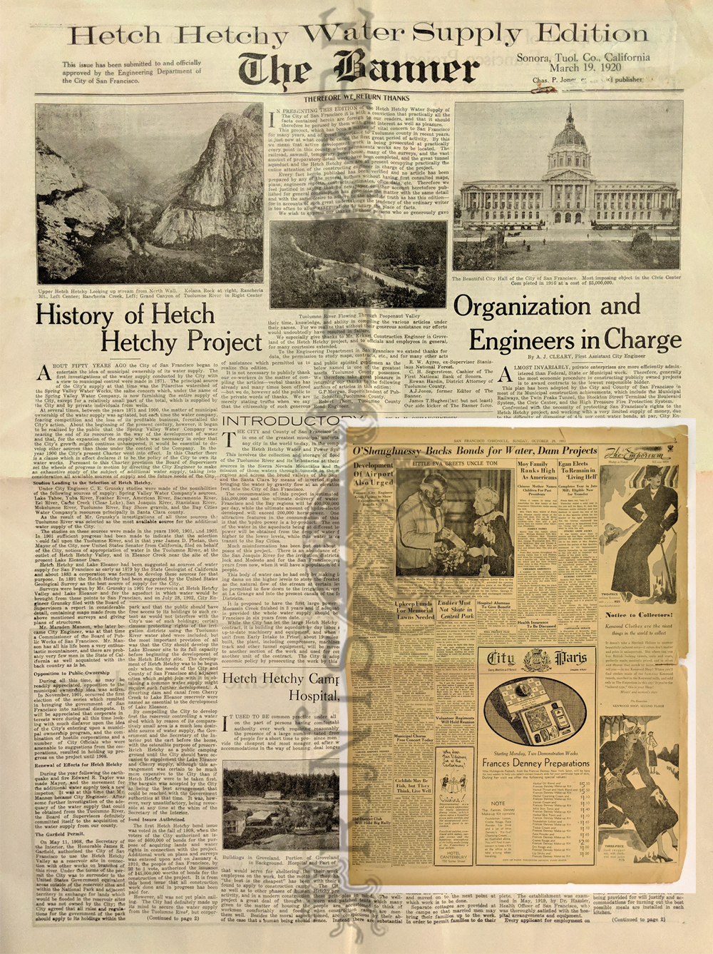
297California:
Hetch Hetchy Water Supply Edition 1920. The Banner newspaper from
Sonora, Tuolome County. 8pp – Entire large format newspaper devotes to
H.H. includes history on the organization, hospital, surveys, people;
plus 1933 Chronicle article “O'Shaughnessy. Backs bonds for Water, Dam
Projects.”
18 x 24 in. $85
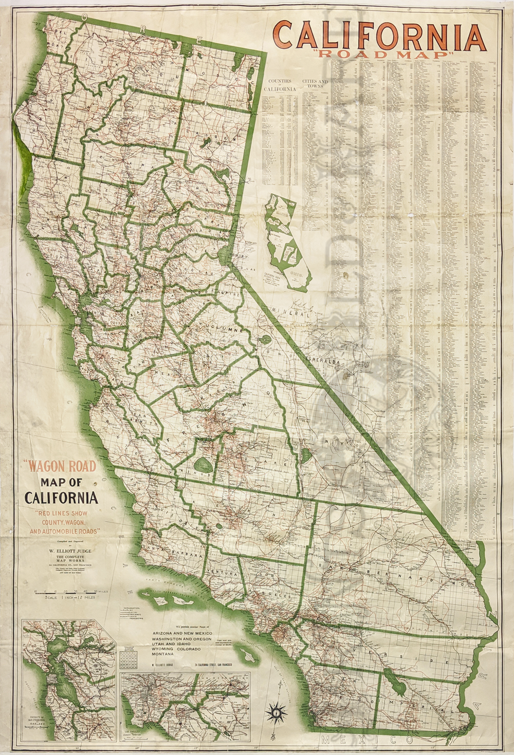
298California:
California Road Map “Wagon Road” 1916. Huge early map with red lines
showing county, wagon and automobile roads by W. Elliott Judge. Also
includes population, city statistics. Insets of SF and LA. Very good
condition. Interesting inset showing all New England, N.Y. and Ohio
could fit inside California.
62 x 41 in. $800
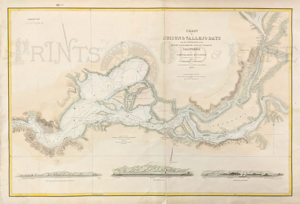
299California:
Suisun City and Vallejo Bay. Confluence of Sacrament and San Juaquin
Valley Rivers by Cadwalader Ringgold 1850. Insets of Benicia, Tongue
Shoal and entrance of Sacramento River. Shows depths, towns and island
names. Hand colored. **Center fold has been archivally mended.
22 x 32 in. $500

301California:
1854 California Harbors of Crescent City, Mendocino. Shelter Cove, Port
Orford (Oregon).
15 x 19 in. $350

304California:
1853 Santa Barbara U.S. Coast Survey Map. Inset – View of Town and
Mission. Shows early settlement the of the Mission, Arroyo Pedregoso
and Point Castillo.
15 3/8 x 17 3/4 in. $600
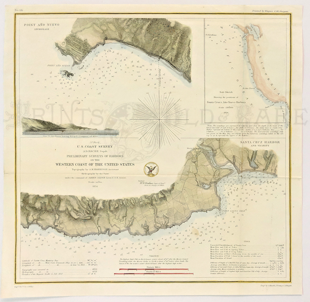
305California:
1854 Ano Nuevo and Santa Cruz Harbor. Inset of Ano Nuevo and Coast
South of San Francisco. Showing the 2 locations. Ano Nuevo is home to
the Elephant seals. U.S. Coast Survey. Hand colored, lithograph.
13 3/4 x 13 1/4 in. $280

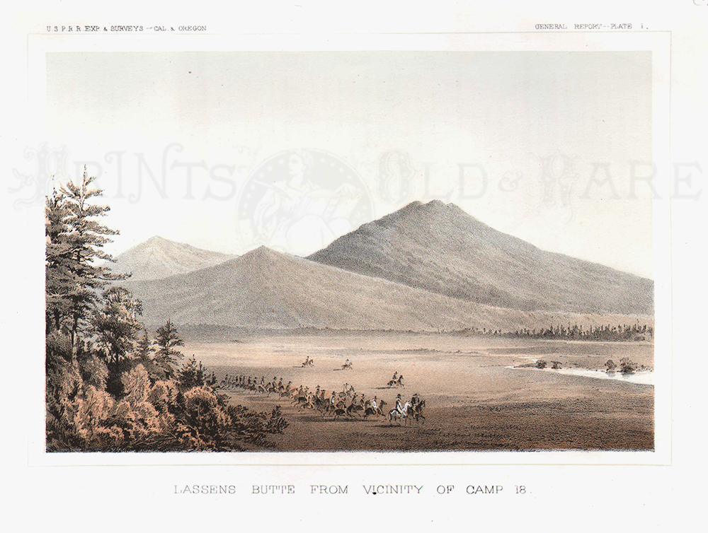
306California:
Lassens Butte From Vicinity of Camp 18. 1855 USPRR Exp & Survey
- Cal & Oregon. Plate I.
8 1/4 x 11 1/4 in. $50
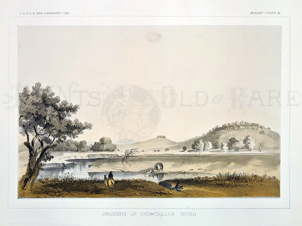
307California:
Crossing of Chowchillas River. 1855 USPRR Exp & Surveys. Plate
III.
8 1/4 x 11 1/4 in. $50
308California:
Mission and Plain of San Fernando. USPRR Exp & Surveys. Plate
VI.
8 3/4 x 11 1/4 in. $100

309California:
Shasta Butte and Shasta Valley from a Point Near Camp 70 A. USPRR Exp
& Surveys. Plate
XII.
8 1/2 x 11 1/2 in. $50

310California:
Colorado Desert and Signal Mountain. 1855 USPRR Exp
& Surveys. Plate
XI.
8 x 11 in. $60
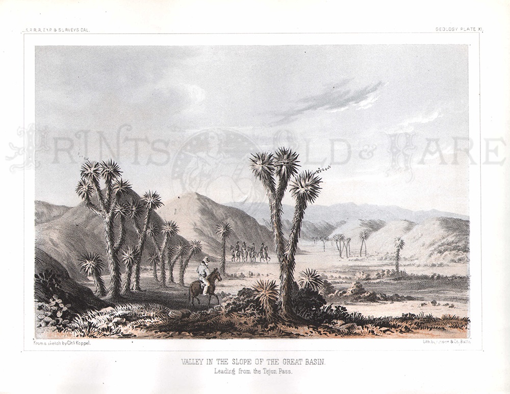
311California:
Valley in the Slope of the Great Basin. -Leading from the Tejon Pass.
1855 USPRR Exp
& Surveys. Plate
XI.
8 x 11 in. $60

312California:
Vicinity of Fort Miller. 1855 USPRR Exp
& Surveys. Plate
I.
8 x 11 in. $40

313California:
Gilroy, Santa Clara County 1887. Birdseye view + 4pp article about it's
history and 1 page of ads.
6 7/16 x 10 1/8 in. $60
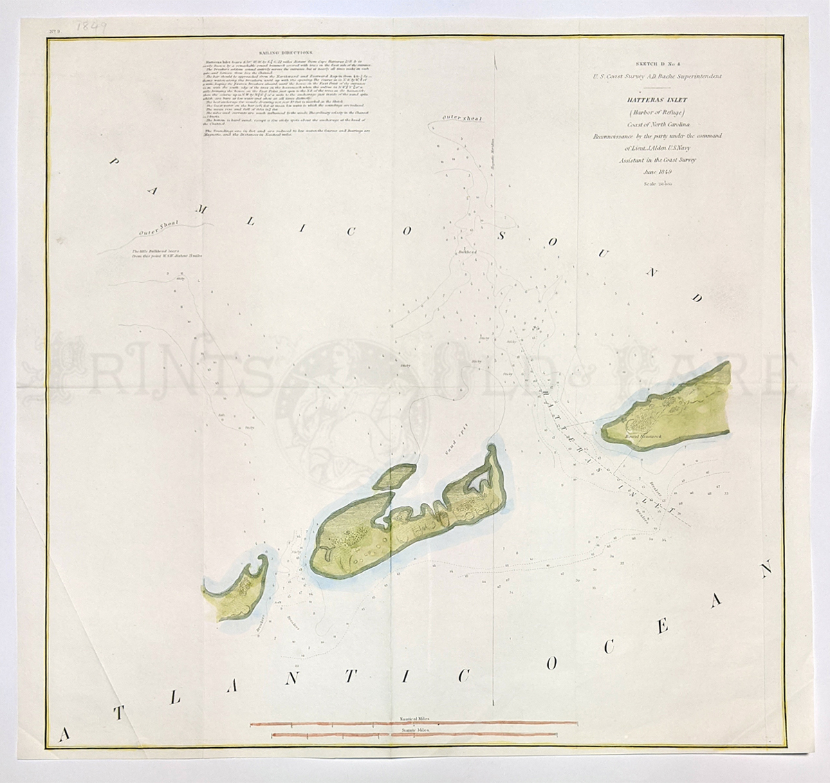
314California:
Crescent City. St. Georges Reef 1872. Shows Crescent City, Lake Earl,
Pt. St. George, Rocks, and soundings. Hand colored, lithograph.
21 1/2 x 26 1/4 in. $150
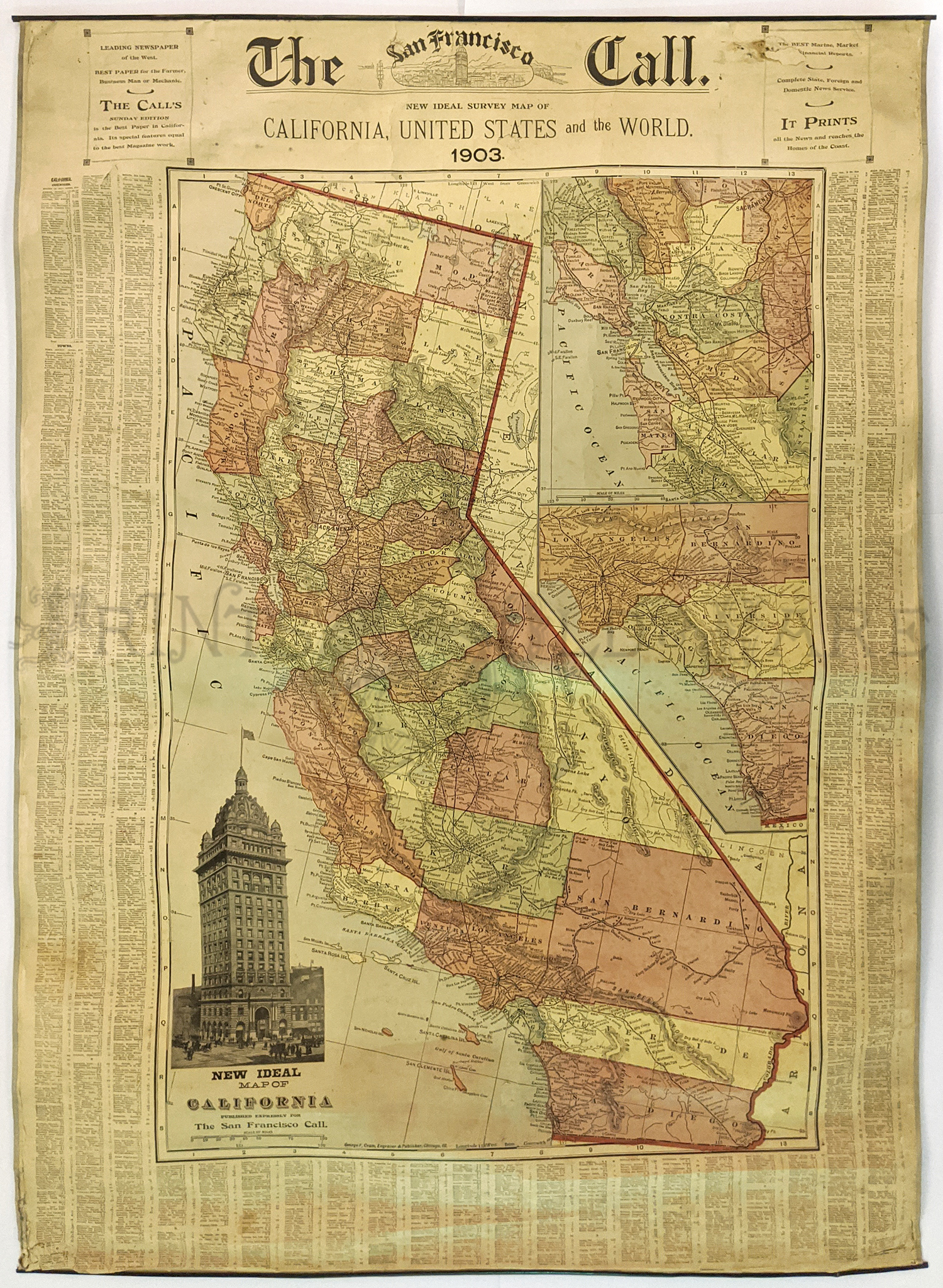
315California:
Huge California Map 1904. Map published by the Call Newspaper.
Insets of Cal Building, the Bay Area and LA area. Lists churches,
towns, population. Color coded by county. Verso: World & USA
maps.
32 1/2 x 44 5/8 in. $375
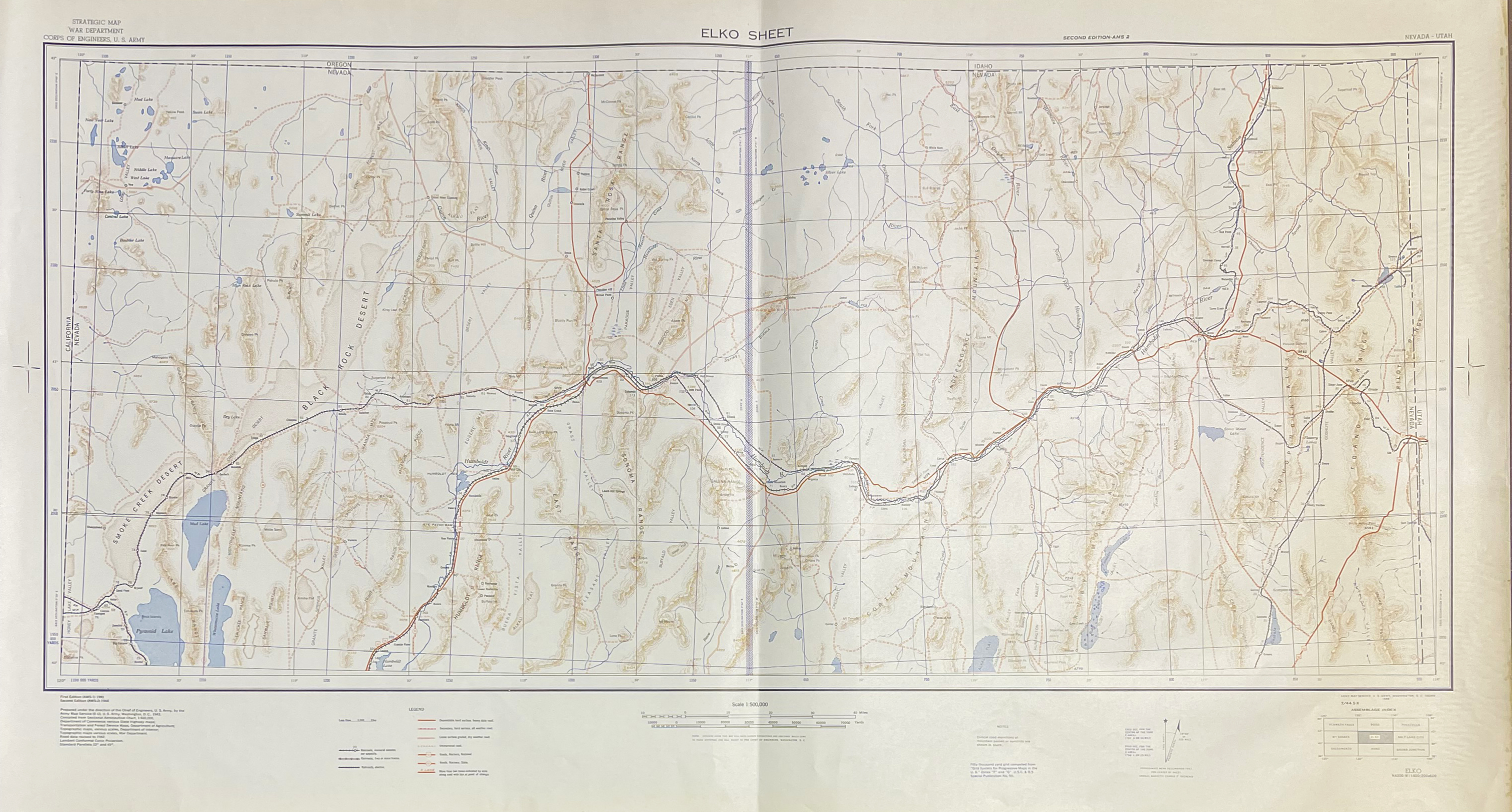
317California:
Black Rock Desert 1944. Nevada War Department Map. “Elko Sheet” – Large
Geological Map issued during World War II. Shows Pyramid Lake, Smoke
Creek Desert, roads, railroads, markers, mountain ranges from
California state line to Utah state line. Black Rock Desert is home to
the world renown “Burning Man.”
Size: 24 x 43 ¾ in. $60
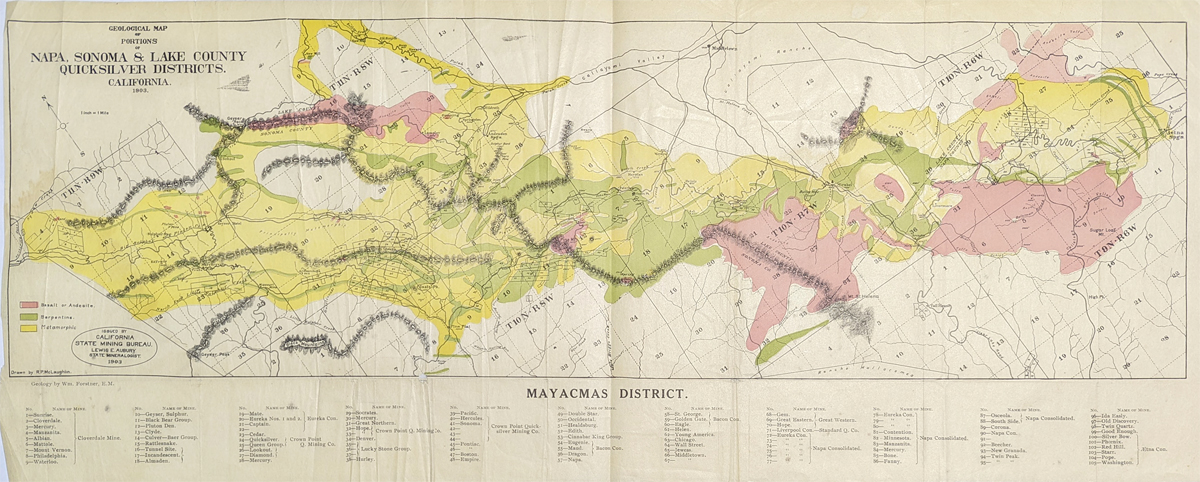
318California:
Mayacmas District 1903 – Showing quicksilver in Napa, Sonoma and Lake
County. Colors show Basal or Andesite, Serpentine, Metamorphic mines
are identified.
10 ½ x 26 ¾ in. $150
SOLD

289California:
1940 Commercial and School Map of California by Thomas Bros. Folded map
consists of 16 panels laid down on linen. Shows tables of Highway
mileage, Townships, and 1940’s population. Insets of San Francisco,
Oakland, Los Angeles and vicinity.
65 x 45 in. $250
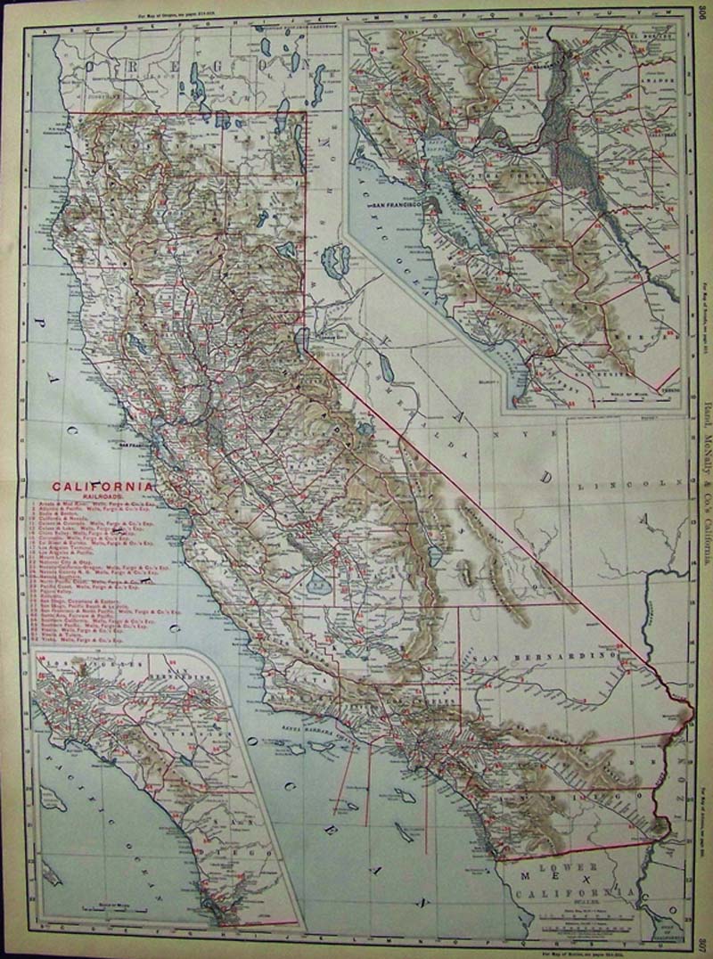
112California:
1898 Color Rand, McNally & Co.'s California Railroads map shich
shows all the railroads of that era in red, shows the mountain ridges,
many cities, lakes, counties, and shows insets of Marin in Northern
California, Los Angeles and San Bernardino in lower inset, islands in
the Pacific Ocean which surround California, and many other
points of interest.
27-1/2 x 20-1/2 in. $300
SOLD
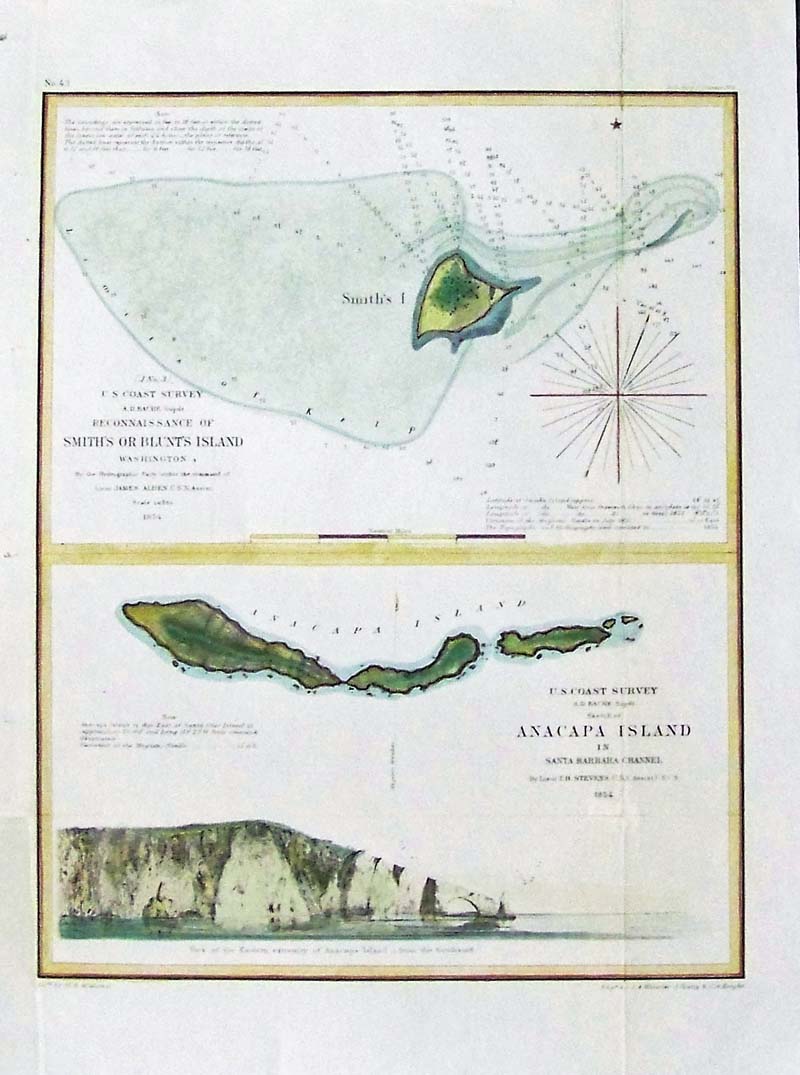
268California:
1854 US Coast Survey Reconnaissance of Smith’s or Blunt Island and
Anacapa Island, Whistler, 1854. Two very handsome engraved and hand
colored maps of Smith’s Island, Washington State and Anacapa Islands,
in the Santa Barbara Channel. These are very important maps, being the
first known example of the engraving work of James Abbott MacNeill
Whistler, who would go on to have a career as one of America's most
famous 19th Century Artists. Special Note: Whistler, one of the most
influential figures in the 19th-century art world, learned etching
while employed in the cartographic section of the U.S. Coast Survey.
One of the few known works completed by Whistler during his brief
federal service, Sketch of Anacapa Island, exemplifies Whistler's need
to add his personal touch to official charts and after he completed
this etching in the approved style, he thought it looked dull.
Therefore, he added two flocks of gulls sailing gracefully over the
rocky headland of Anacapa Island. Condition: Excellent, small
verticalfold throughout on right side, horizontal fold bottom, wide
margins.
size 9.5 12 image. $150
SOLD 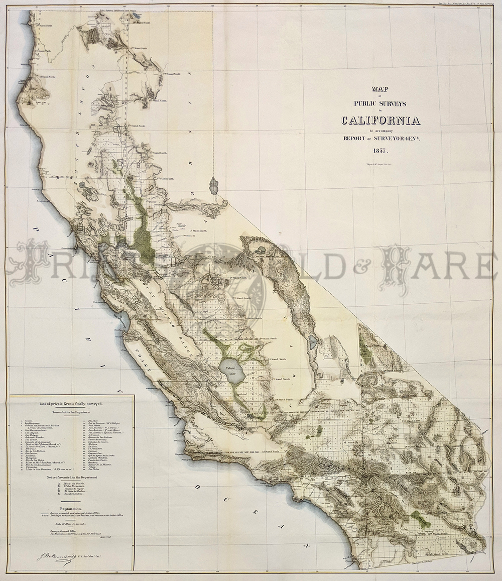
285California:
Map of Public Surveys in California, 1857 - A large handsome double
folio lithograph map with original color showing extensive detail of
the topography, survey grids, cities, towns, villages. " The legend:
List of 34 private land grants finally confirmed, September 30th,
1857." One of a series of public survey maps, nicely colored and relief
shown in hachures, the San Francisco Bay Delta Region is shown with
extensive marshes and Owens Lake still exists. Wagner and Mc Guigan
engravers, surveyor general J H. Mundeville.
Condition: Very good, multiple folds, small margins, light ageing
toning, and light yellowing on folds barely noticeable.
size 30.5 x 36 image. $700
SOLD - ON HOLD
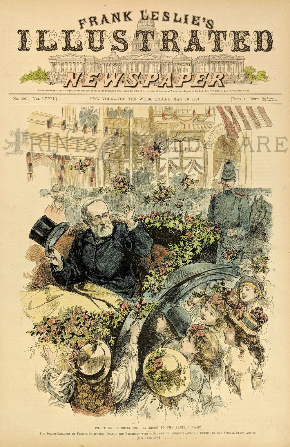
286California:
1891 Wood engraving, Frank Leslie's Illustrated Newspaper: The Tour of
President Harrison to the Pacific Coast.
16 x 11 in. $60
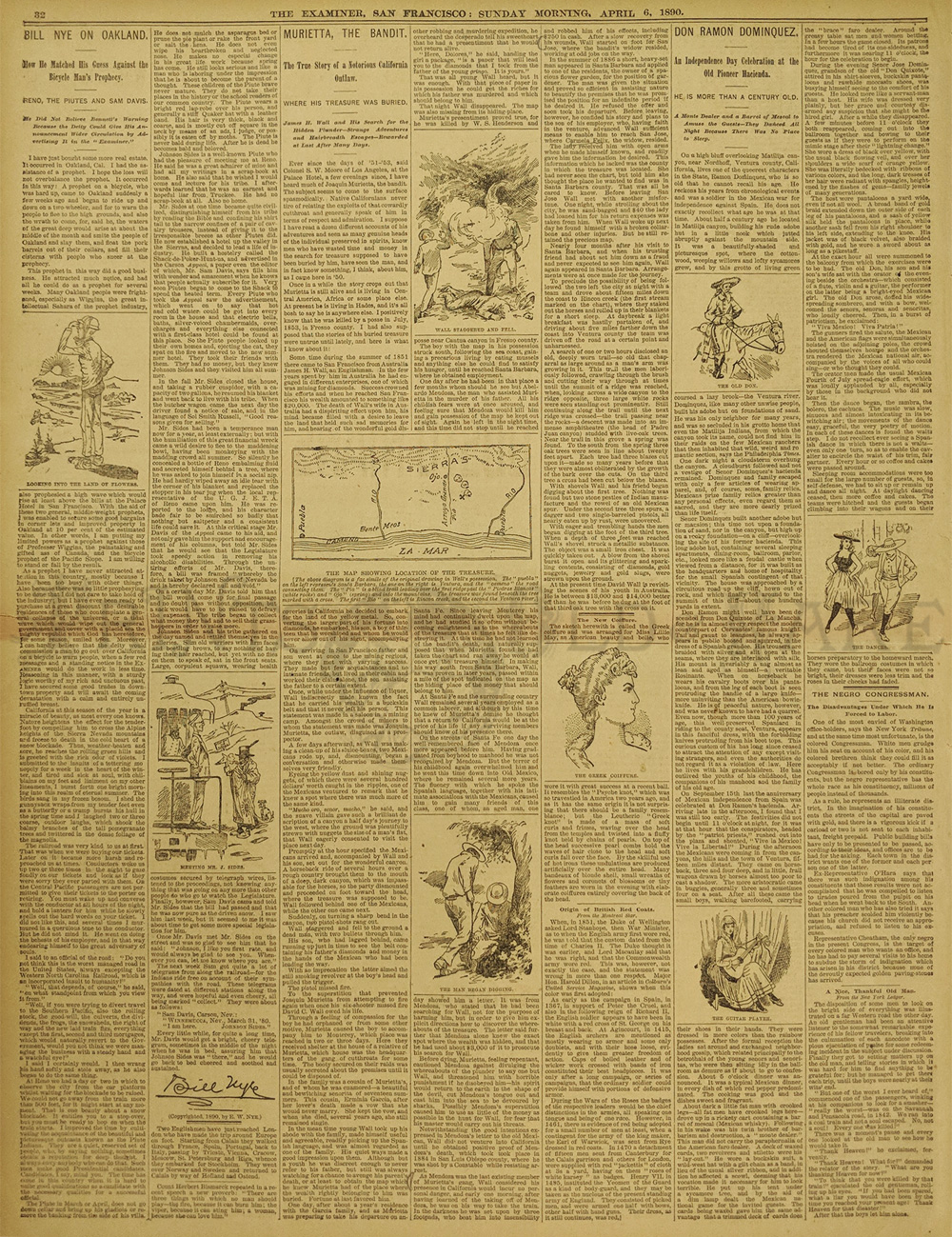
288California:
Muriette The Bandit & Where His Treasure was Buried.Newspaper
page - The
Examiner San Francisco April 6, 1890.
James Wall and his search for the Buried Treasure. 3 Full illustrated
columns. Also articles Bill Nye on Oakland and Don Ramon Dominquez.
16 x 20 " in. $30
|
|


