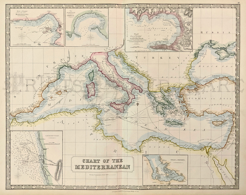
000euro:
Chart of the Mediterranean, Philip and Son 1848-1850 -- A very
attractive and large original hand colored lithographed map of the
Mediterranean Sea showing countries in pastel coloring and the sea
shaded in blue. The map extends from the Rock of Gibralter to Cyprus,
and from Italy and Greece to North Africa. Five small insets provide
detailed soundings of the harbors of: 1. Marseilles, 2. Genoa, 3.
Gilbraltar, 4. Leghorn Road, and 5. Smyrna. Steamship routes are shown
throughout with times of voyage. In
excellent condition, with a nice border. Original fold.
Condition: Excellent
size: 19.5 x 24 in.
$195
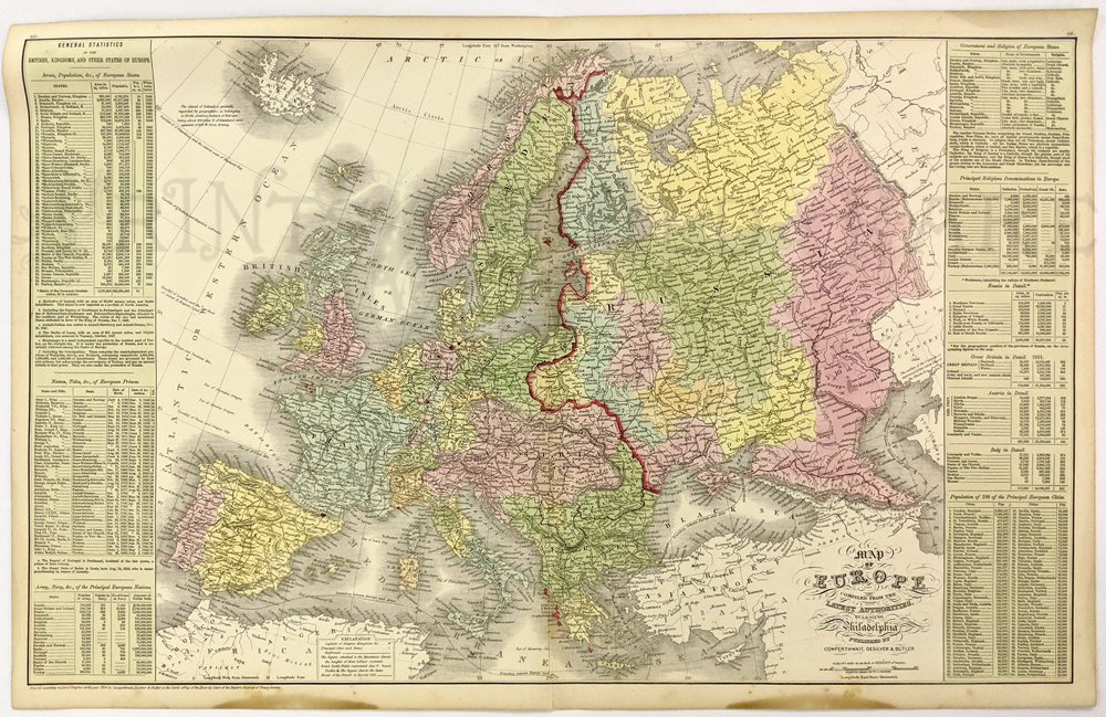
004euro: 1851
Cowperthwait Map of Europe. Beautifully hand colored, with many
statistics regarding Royalty, population, government, religion, etc.
27x17 in. $120
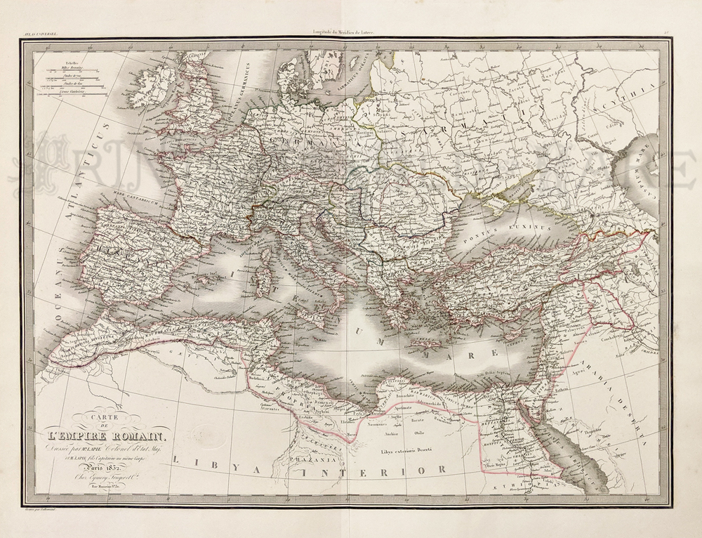
005euro: 1832 Roman Empire Map.
Very attractive old French antique map. Countries outlined with hand
coloring. 24-1/2x20 in. $100
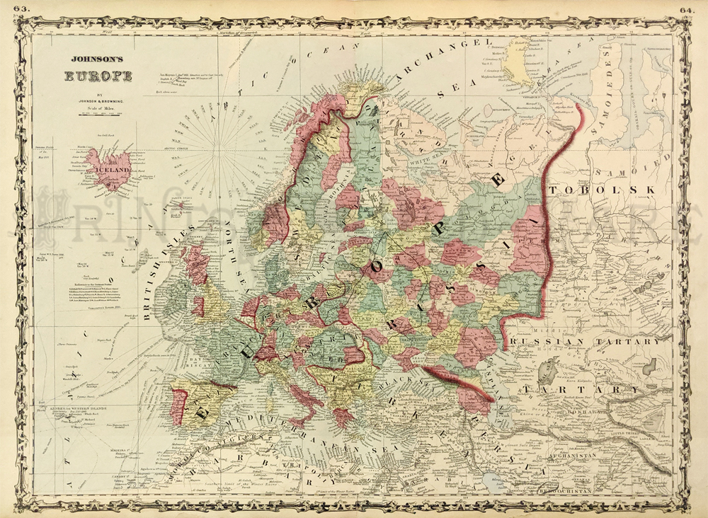
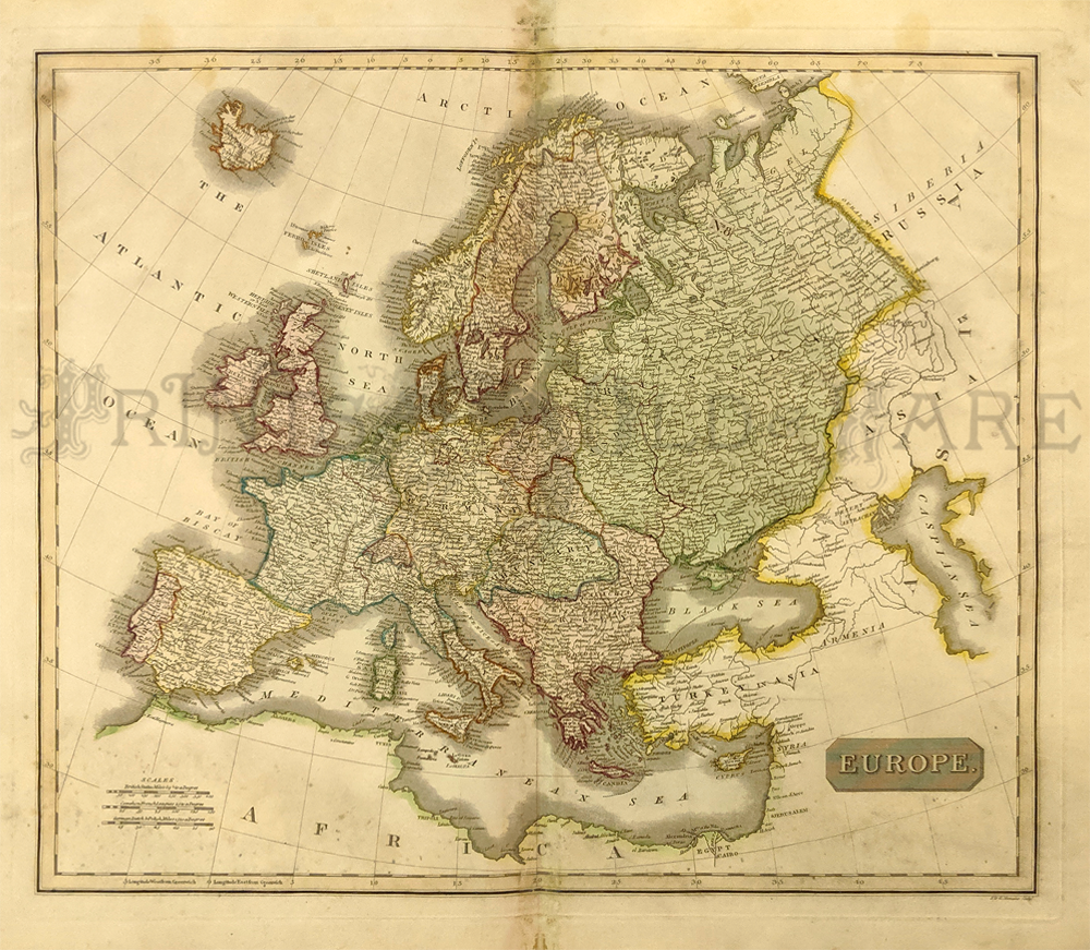
011euro: 1864 Map of Europe.
Original hand colored genuine antique map by Johnson. 26x18 in. $50
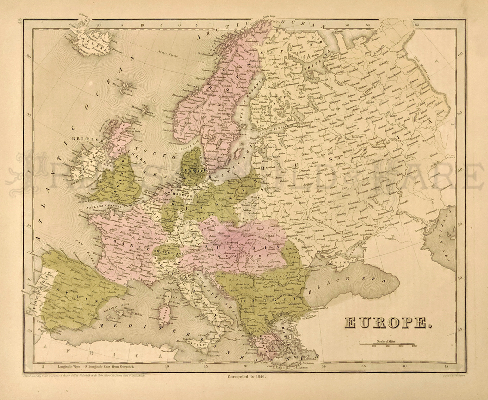
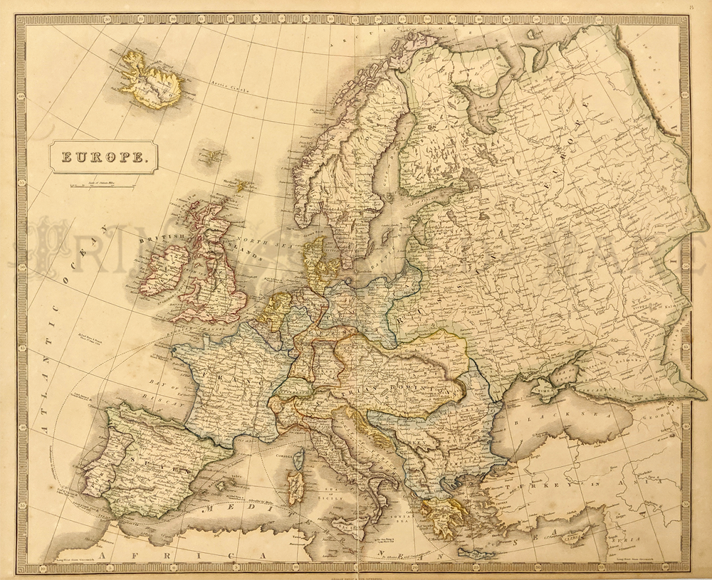
112euro: 1838 Bradford Map of
Europe. Fascinating map, with original hand coloring, from T.G.
Bradford's famous world atlas of 1838. This map is from the 1846
printing of the atlas, and the phrase "corrected to 1846" appears below
the bottom border. Each country is colored separately. Cities and
geographical features are shown throughout the continent. 13x17 in. $200
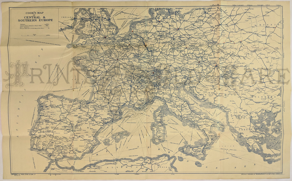
008fpm:
Central Europe Pre WWII (1936) THOS. COOK & SON. Shows
steamships, river steamers, roads, cities. Ads verso.
28 x 19 in. $35
|
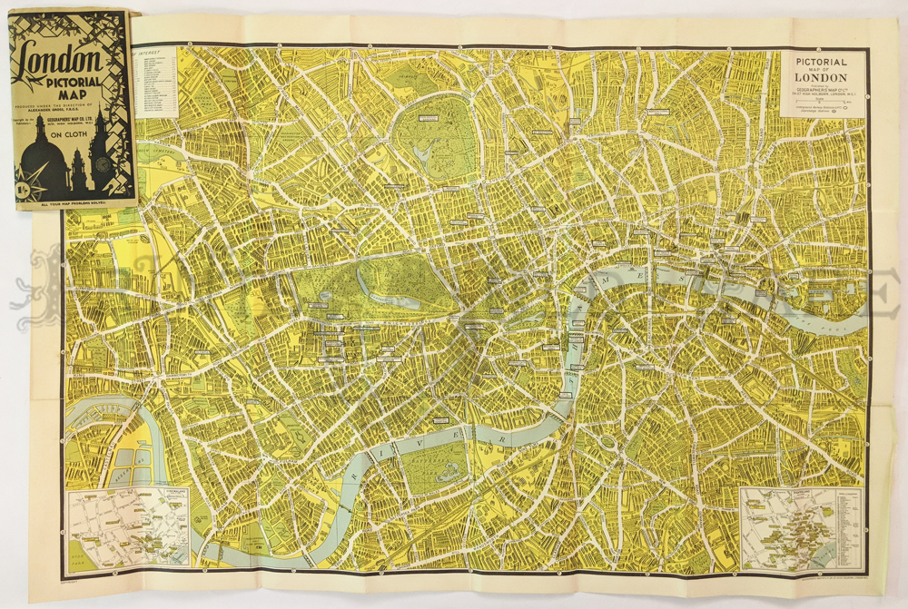
004pictorialmaps:
London Pictorial Map. Geographers’ Map Co. Shows places of interest,
stations. C.1940. Insets of cinema land and theatreland. Linen backed,
printed in color.
30 x 21 in. $75
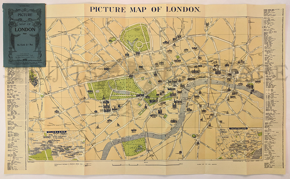
005pictorialmaps:
Picture Map of London – by Geographia 1929-30. Fabric backed. Printed
in color. Highlights historical sites & buildings. Tear on
side.
29 1/2 x 19 in. $185
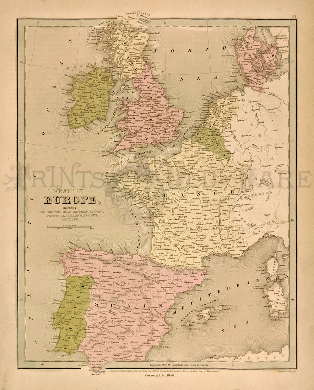
113euro: 1838 Bradford Map of
Western Europe. Beautifully hand colored map from T.G. Bradford's
famous world atlas of 1838. This map is from the 1846 printing of the
atlas, and the phrase "corrected to 1846" appears below the bottom
border. Countries shown are Spain, Portugal, France, Belgium, Holland,
Denmark and the British Islands. Cities and geographical features are
shown throughout the region. 13x17 in. $200
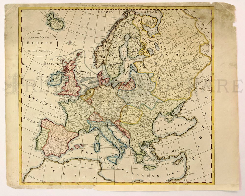
200euro: This beautiful, engraved
map was published in 1795 by Matthew Carey, as an illustration to
Carey's American Edition of Guthrie's Geography. It is titled "An
Accurate map of Europe from the Best Authorities." Each country is hand
colored with wash and outline coloring. Cities and geographical
features such as mountains and rivers are shown throughout the map.
14x17 in. $120
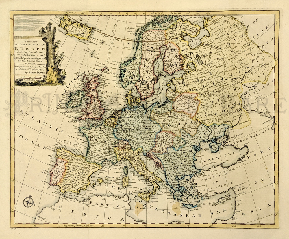
203euro: A New and Accurate Map
of Europe Collected from the best Authorities, Assisted by the most
approved Modern Maps and Charts. The whole being regulated and adjusted
by Astronomical Observations by Eman Bowen. Hand colored copper
engraving from 1747 Europe. 14.5x17.5 in. $250
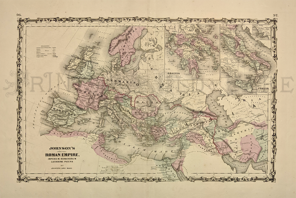
204euro: 1862 Johnson's Roman
Empire, Imperium Romanorum
Latissime Patens by Johnson and Ward. Insets of Greece and Italy in
upper right-hand corner of map. Map is in great condition with a few
barley-visible dark spots in borders.
18 x 26.5 in. $80
|
206euro: 1814 Thomson Map of
Europe. Depicts Europe one year before Napoleon's final defeat at the
Battle of Waterloo. Also shows towns, cities, and topographical
features. Engraved by J. and G. Menzies. Hand colored, copper
engraving. *Toning on
centerfold, minor foxing throughout.
21 1/4 x 28 in. $250
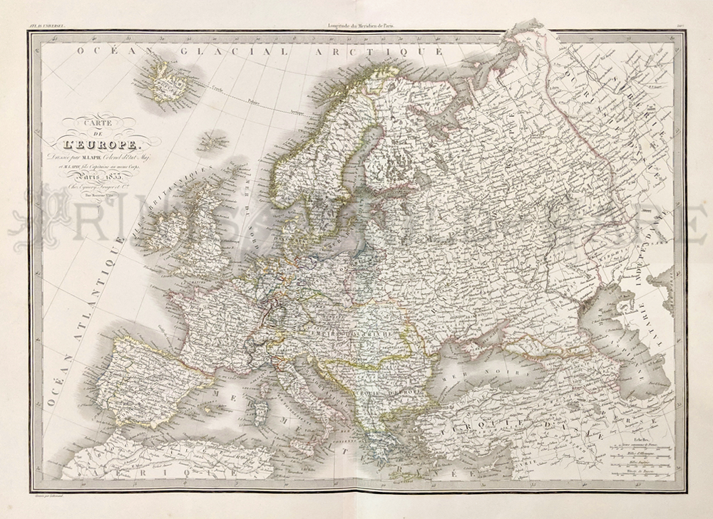
207euro: 1833 Carte de l'Europe
by Pierre M. Lapie. Map covers all of Europe; Atlantic Ocean
to the eastern
edges of Siberia and Independent Tartary, and from the Arctic Ocean to
northern Africa and Turkey. Engraved by Armand Joseph Lallemand,
embossed stamp from the Lapie firm.
19 5/8 x 24 3/4 in. $140
208euro: 1852 Europe Map
published by George Philip & Son in Liverpool. Shows sailing
routes, Mediterranean sea and Atlantic ocean. Original hand colored,
steel engraving.
20 7/8 x 26 in. $180
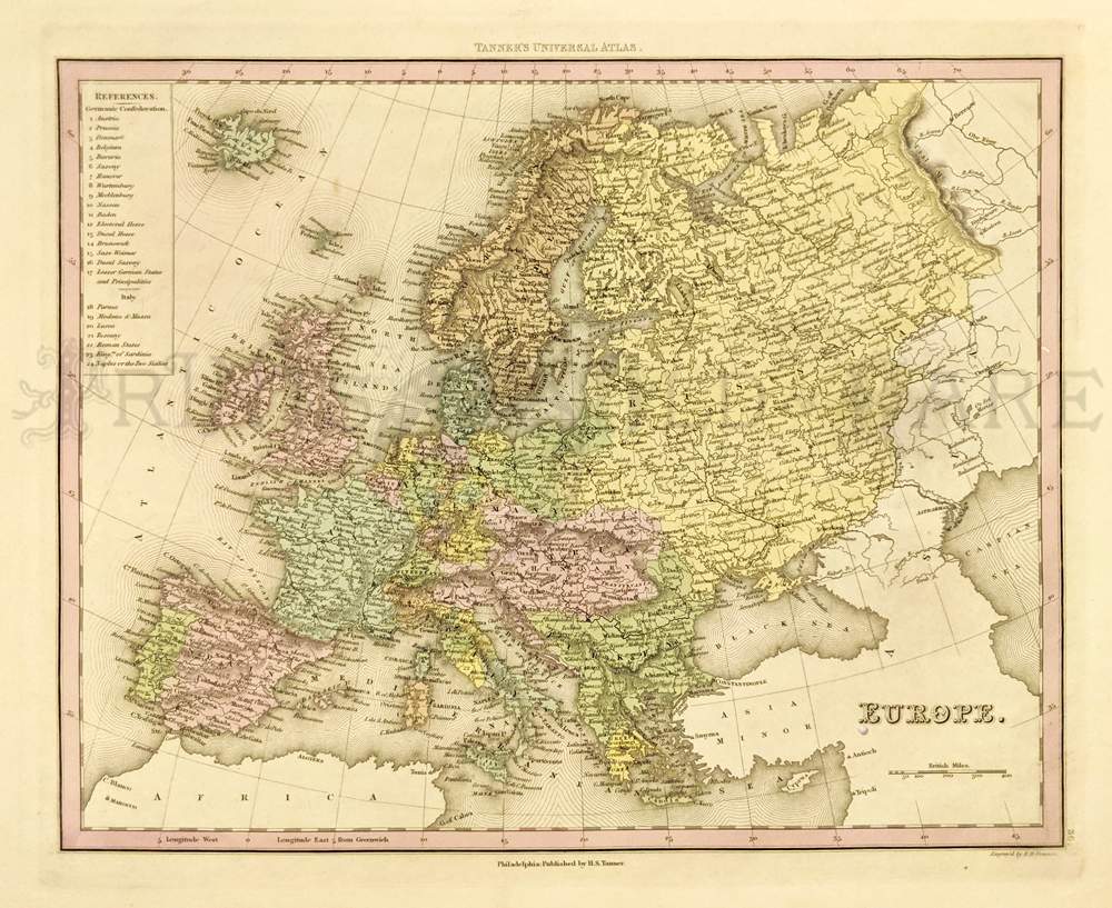
209euro: 1839 Europe map
published by H.S. Tanner. Details include towns, rivers, mountains, and
political boundaries. Hand colored, steel engraving. *Small hole under
the E.
13 3/8 x 17 5/8 in. $125
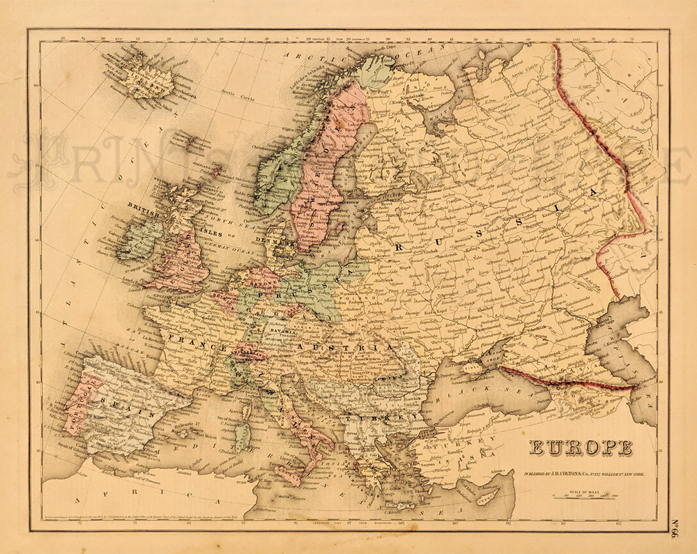
210euro: 1855 Colton's Map of
Europe. Showing
the cities, towns, forts, rivers and topographical details. Hand
colored, lithograph.
14 x 17 in. $40
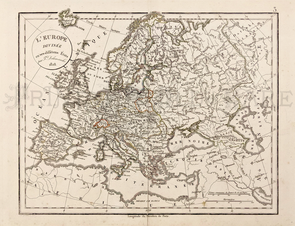
211euro: 1828 Europe divisée en
ses différents États Sous Charlemagne. Published by Felix Delamarche
(Paris).
Showing european divisions. Original color, copper engraving,
inlayed on thicker paper. *Minor foxing.
12 1/2 x 18 in. $120
|
|