|
|||||||||||
Middle East (Including Syria, Persia and Arabia) This is a small selection of our inventory of antique Middle East maps and prints. Additional inventory is available. Contact us with your request. 1-800-879-6277
|
|||||||||||
|---|---|---|---|---|---|---|---|---|---|---|---|
 001mide: 1882 Map: Biblical Exodus in Holy Land. Interesting, engraved map, published in 1882 by H.H. Hardesty. Title is "Map of the Lands of the Exodus." The route of the IsraelitesÂ’ wanderings between Egypt and Jericho is traced with a red line. 11x14 in. $45
|
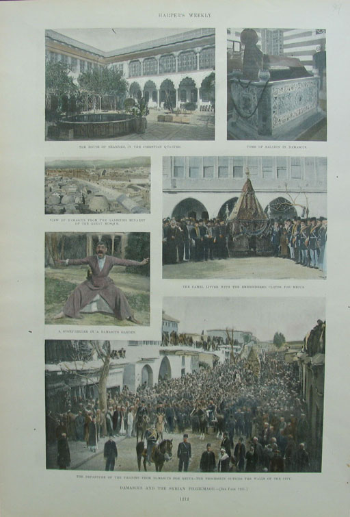
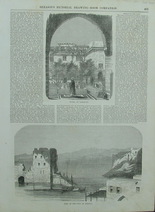 038mide: Gleason's Pictorial Hotel, in Damascus. 11" x 15" $30 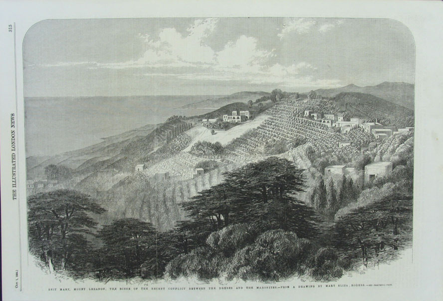
041mide: 1859 Illustrated London News, Beit Mary, Mount Lebanon, the scene of the recent conflict between the Druses and the Maronites. 15.5" x 10.5" $30 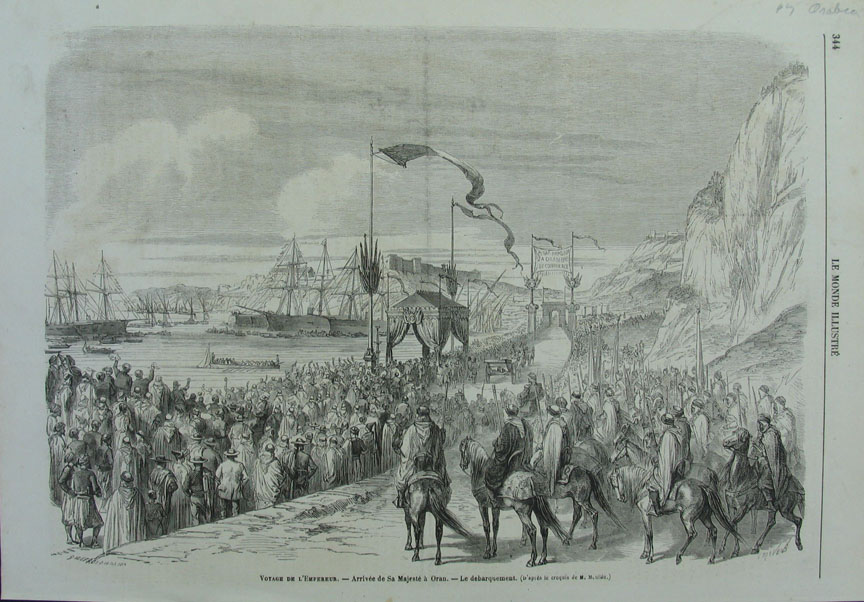
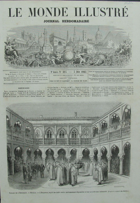
044mide: 1865 Le Monde Illustre Voyage De L'Empereur. 14.5" x 10.25" $30 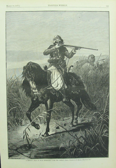
045mide: 1877 Harper's Weekly - A Bedouin Arab of Moab retreating over the Jordan. 11" x 16" $40 
046mide: 1870 Appleton's Journal - The Arab Story-Teller. 7.5 " x 10.5" $40 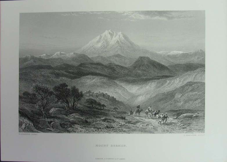
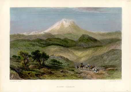
047mide: H.A. Harper Mount Hermon. 13" x 9" $40 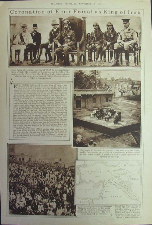
048mide: 1921 Coronation of Emir Feisal as King of Irak - ceremony at Bagdad. 11" x 16" $40 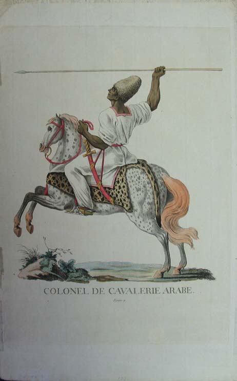
049mide: 1780 Colonel De Cavalerie Arabe. 11" x 17.5" $300 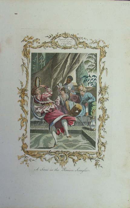
050mide: 1773 A Scene in the Persian Seraglio. 9" x 14" $60 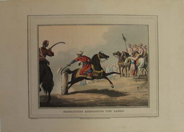
051mide: 1813 Mamalukes Excercising the Sabre. 12" x 9" $100 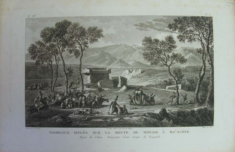
052mide: 1799 "Tombeaux Situes Sur La Route De HHems A Ba Albek" Tombs Located on the road to Ba 'albek HHeM (Lebanon). 20.5" x 13.25" $650 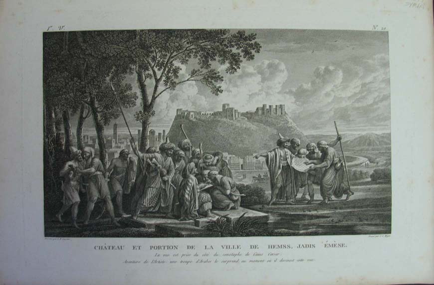
053mide: 1799 "Chateau et portion de la ville de Hemss, Jadis Emese" Portion of the castle and the town of hemss once gerotim. Scenic Journey to Syria, the Phoenician, Palestine & Lower Egypt. 20.5" x 13.5" $650 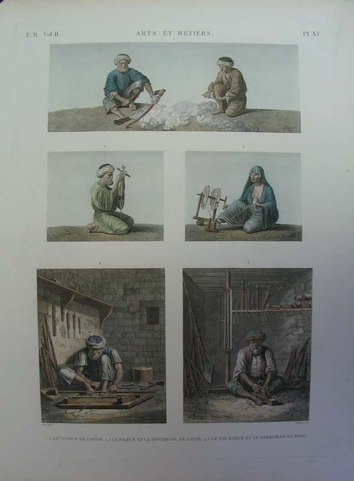
054mide: 1822 Arts & vocations; cotton, the spinners and wool, timber. 19.5" x 26.5" $300 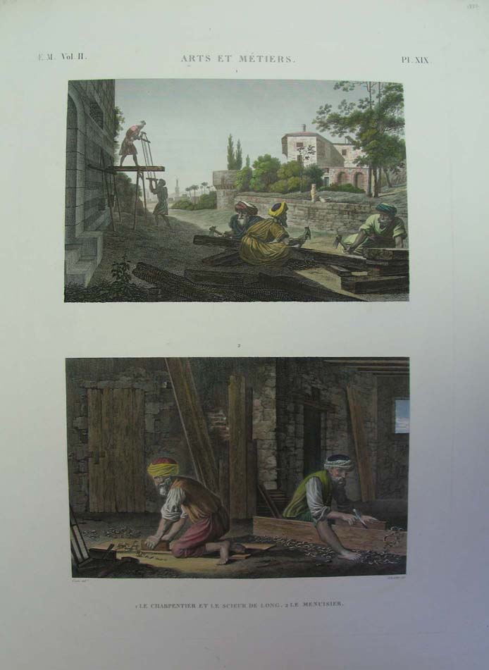
055mide: 1822 Arts & Vocations; carpenters. 19.5" x 26.5" $300 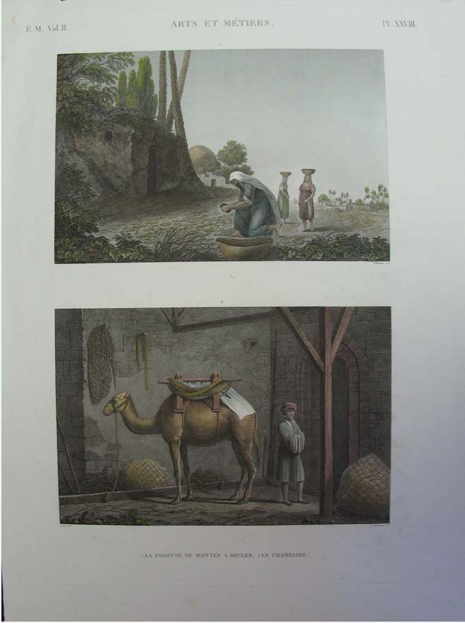
056mide: 1822 Arts & Vocations; camel. 19.5" x 26.5" $300 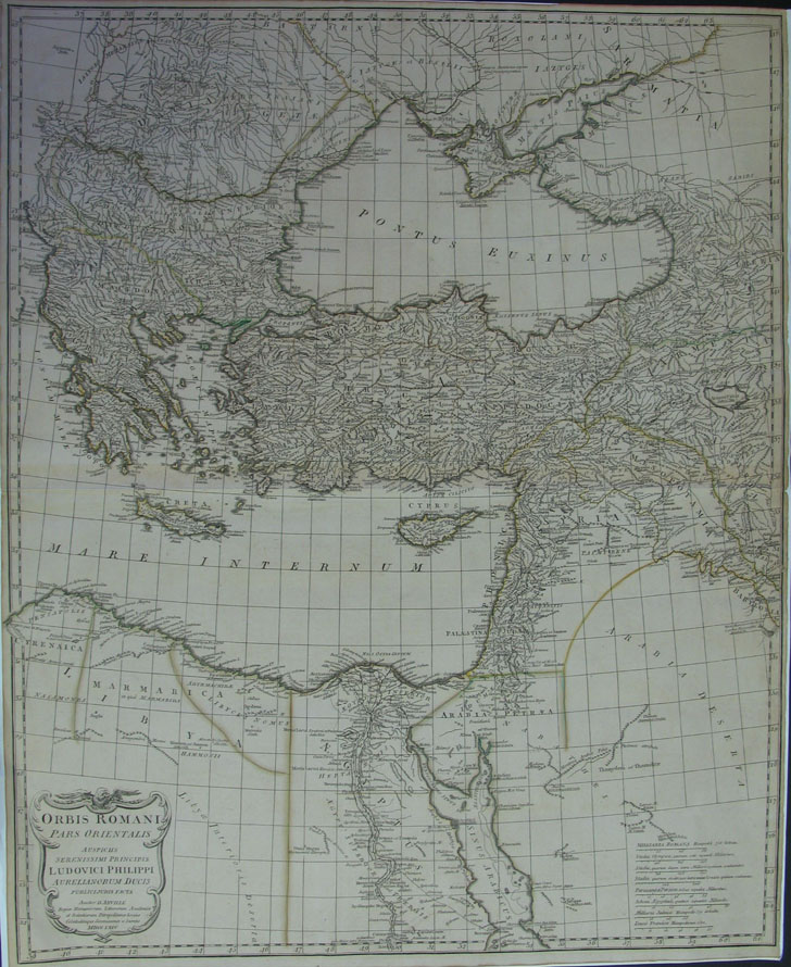
057mide: 1764 D'Anville Orbit Romani Pars Orientalis Auspicus Serenissimi Principis Ludovici Philippi Aurelianorum Ducis. 22" x 27" $375 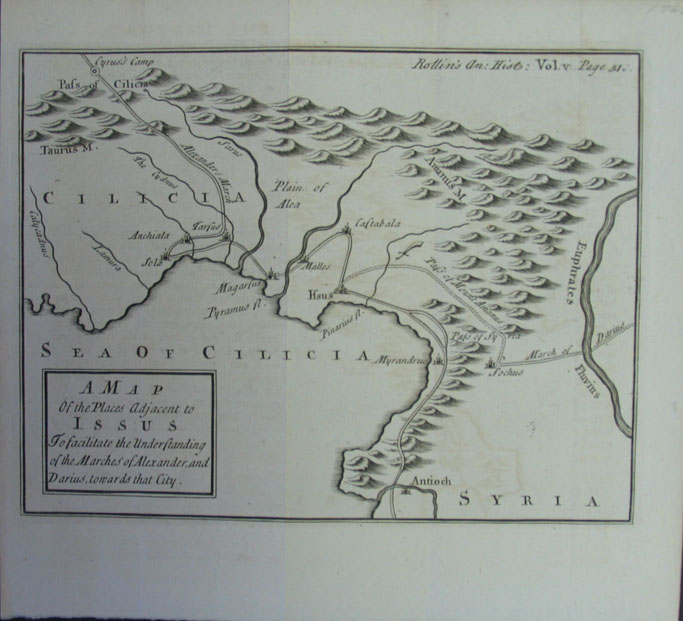
058mide: 1768 - A map of the places adjacent to Issus (Iraq). 9" x 8" $100 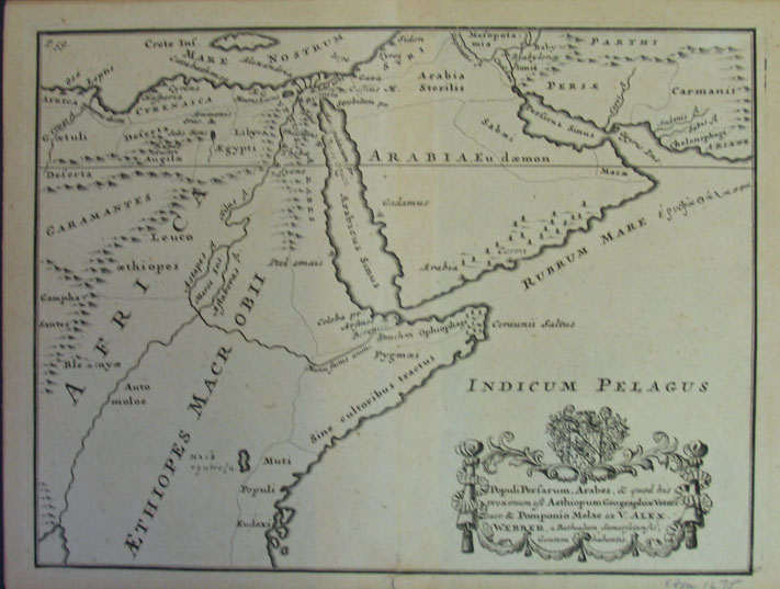
059mide: 1675 Populi Persarum Arabes. 9.5" x7.25" $150 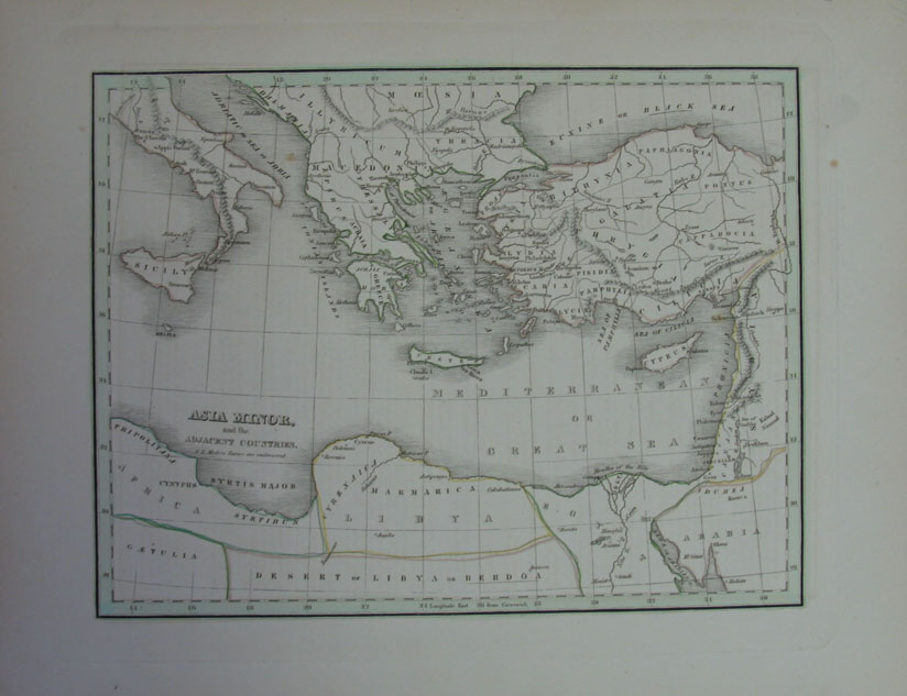
060mide: 1835 Asia Minor. 13.25" x 10" $50 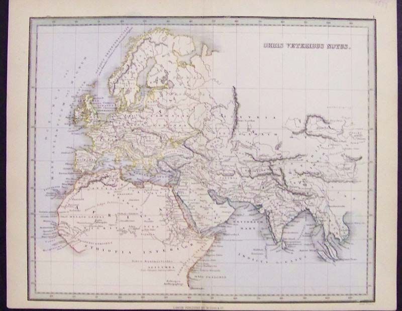
061mide: 1849 Middle Eastern colored Atlas titled, "Orbis Veteribus Notus," published in London by W. Tegg & Co. 12 x 9-1/4 in. $50 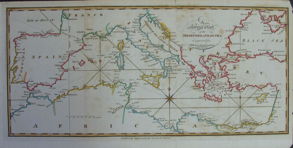
062mide: 1797 Mediterranean Sea, engraved from Malham's Naval Gazetteer. 16" x8.25" $300 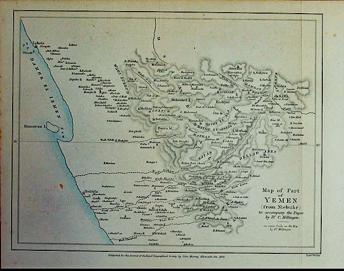
067mide: 1874 Map of Part of Yemen. 10.5" x 8.5" $40 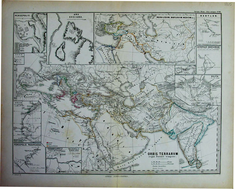
068mide: 1865 Orbis Terrarvm - insets: Babylon, Persepolis, Necropolis. 18" x14.5" $60 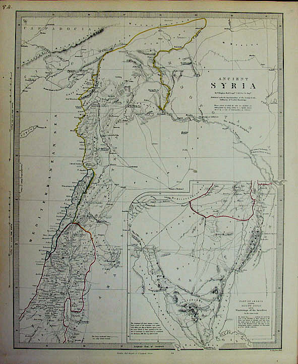
069mide: 1843 Ancient Syria by W. Hughes. 14" x 17" $60 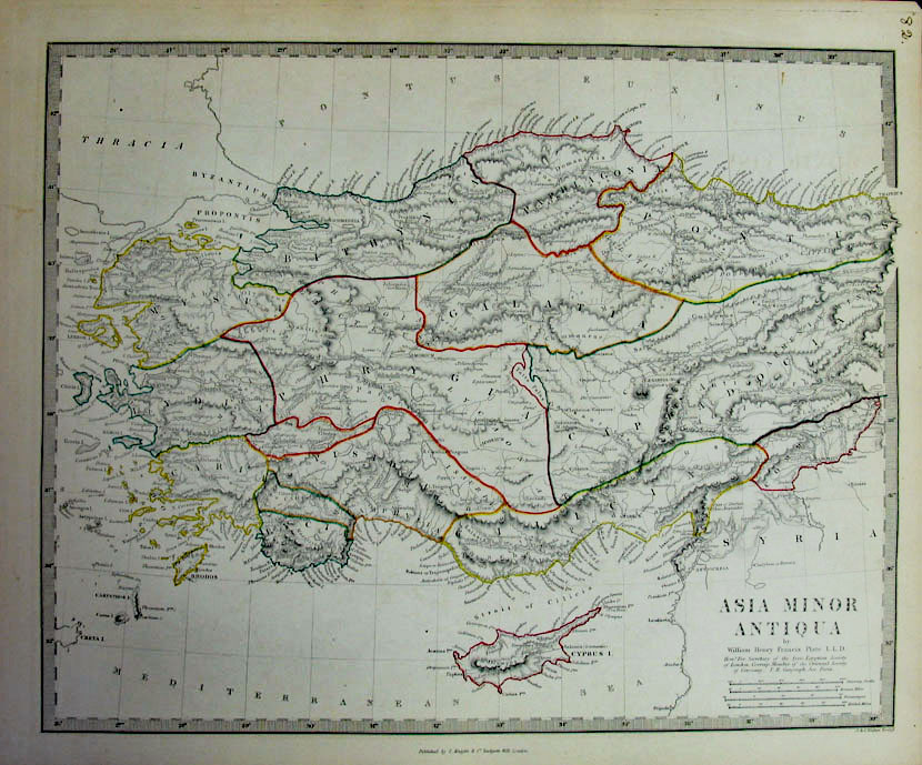
070mide: c.1850 Asia Minor - by William Henry Francis. 17" x 14" $40 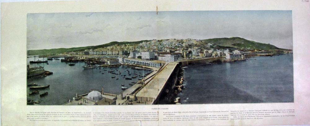
071mide: Algiers - Panrama City View featuring a lengthy description written in French. Fine condition. Hand colored half-tone engraving. C.1900. 23 x 9 in. $40 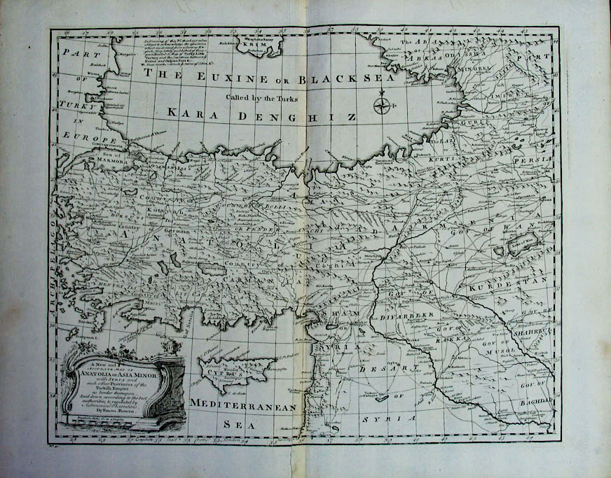 073mide: 1740 Eman. Bowen Anatolia or Asia Minor with Syria and such other provinces of teh Turkish Empire. 20.5" x 16.25" $200 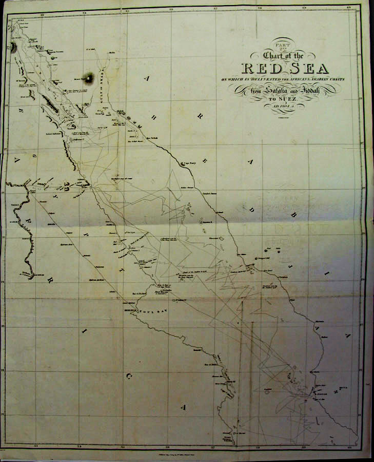
074mide: 1809 Red Sea from Salaka and Fiddali trade and exploration routes. 24" x 30.5" $35  075mide: 1762 Jusqu'a L'An by Buy de Mornas shows most of the Kingdom of Lydia (Turkey). 15" x 21.5" $200 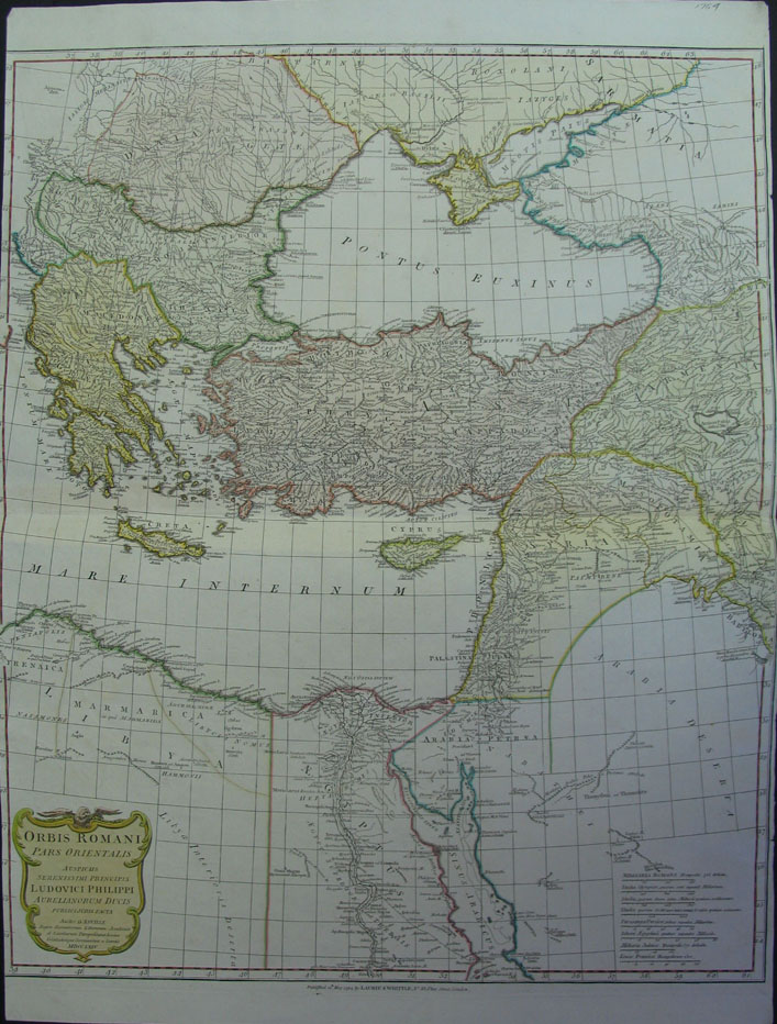
076mide: 1764 Laurie & Whittle Red Sea to North of Black Sea. 21.5" x 29" $400 |
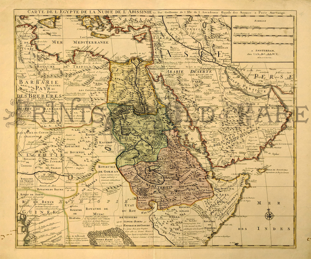
105mide: Carte De L Egypte De La Nubie De L Abissinie. 1792 by De Lisle. This map highlights the Cerea of North Africa and Saudi Arabia. Later printing of the 1707 map. Water colored, copper engraving. 22 x 25 1/2 $250 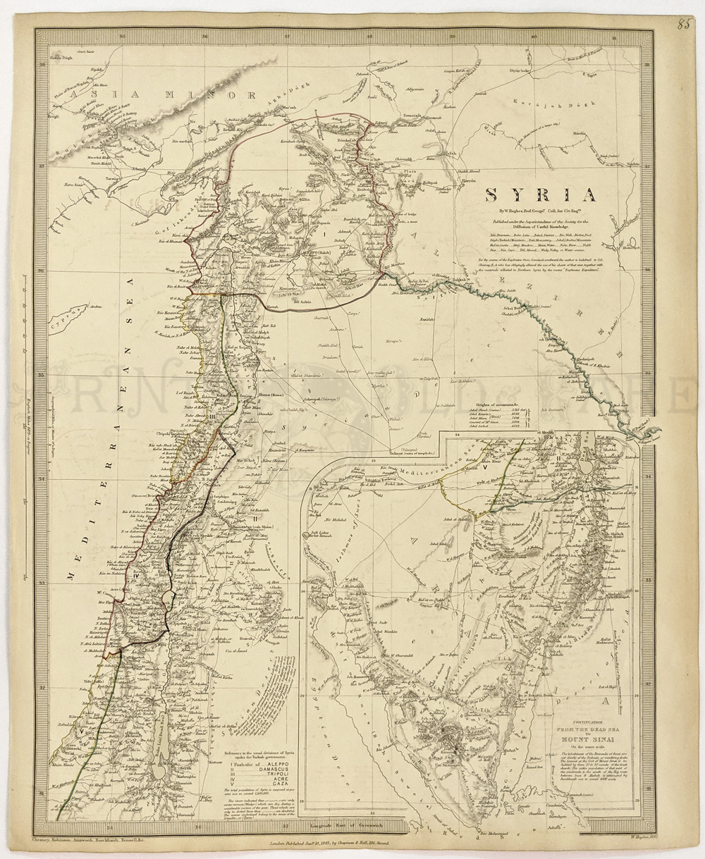 106mide: Syria (inset of Mt. Sinai) 1843 Chapman and Hall (SDUK) Engraving outlined in color. Encompasses parts of modern Lebanon, Israel, Turkey, Jordan and Egypt – era of Ottoman Empire. 13 ½ x 16 1/8 in. $90 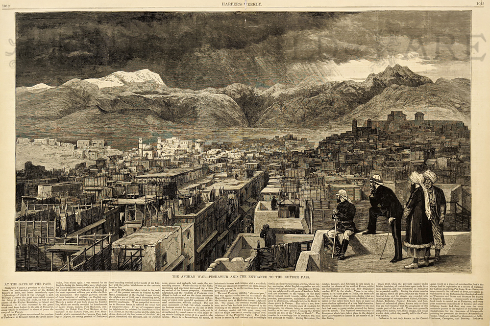 108mide: 1878 Afghanistan: Khyber Pass Scene. - "The Afghan War - Peshawur and the Entrance to Khyber Pass." **Two very small holes in the paper; one at the top of the image and on in the top margin. Overall, condition is very good. 15 x 21 1/4 in. $45 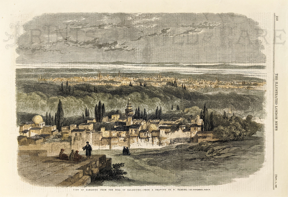 109mide: Damascus Syria 1860 birdseye view from the Hill of Salhiyeh. Hand colored, wood engraving from Illustrated London News. Rare. Fine condition. 11 x 15 5/8 in. $60  110mide: Persia (Iran) 1904 Vintage map. Includes locations and populations. 10 x 12 1/2 in. $30 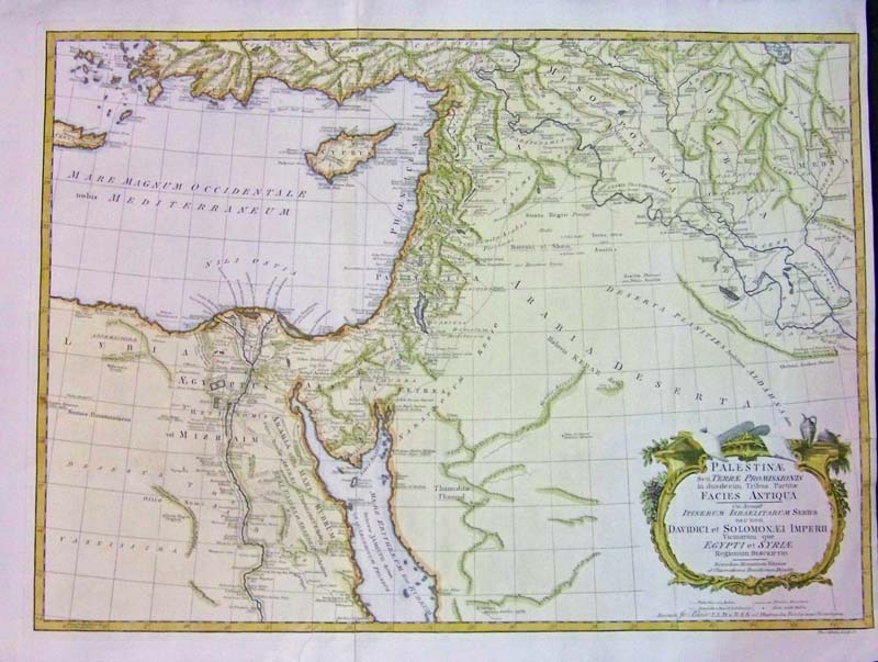 081mide: 1768 Middle Eastern map titled, "Palestinae Seu Terrae Promissionis," which is an historical map: Imperium of King David and Solomon revealing fundamental facts of the Old Testaments, such as escape from Egypt, Kingdom of David and of Solomon, etc. Detailed inscriptions in this map in Egypt, the Holy Land, Syria, S. Turkey, etc. Roman versions of names are underlined. Map Maker is Tho. Kitchin Sculps. 24-1/2 x 18-1/2 in. $325 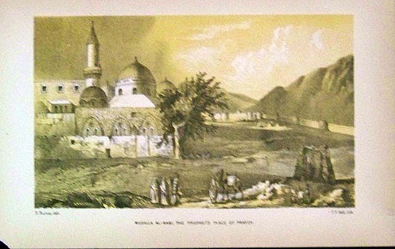
086mide: 1893 chromolithograph showing, "Musalla Al-Nabi, The Prophet's Place of Prayer." Published in "Pilgrimage to Al-Madinah & Meccah" by Captain Sir Richard F. Burton, London. 8-1/4 x 5-1/2 in. $45 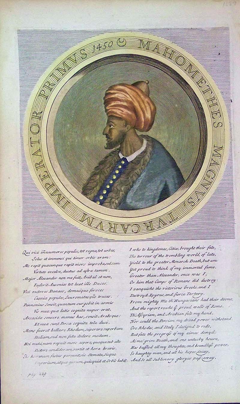
087mide: 1687 Hand colored copper engraving showing, "Imperator Primus 1450 Mahomethes Magnus, Turcarum," in circular image on top and text below. 15 x 9 in. $80 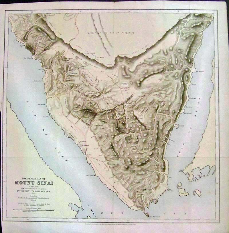
088mide: 1868 Hand-tinted engraved map of "The Peninsula of Mount Sinai," By the Rev. F.W. Holland, M.A., London, Stanford's Geographical Establishment. Fine condition. 17-1/2 x 17 in. $225 Check for availability 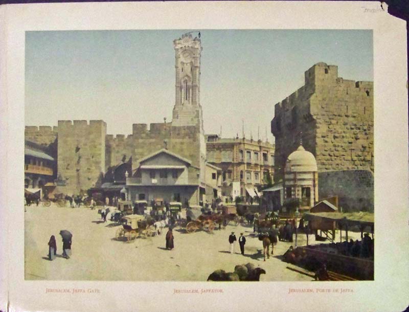
089mide: Chromolithograph showing Jaffa Gate, Jaffator and Porte de Jaffa, Jerusalem. 11-1/2 x 9 in. $30 
091mide: 1850 TURKEY in ASIA map with inset in bottom left corner of the Environs of Constantinople. Entered according to Act of Congress in the year 1850 by Thomas Cowperthwait & Co. in the Clerk's office of the District court of the Eastern District of Pennsylvania. Antique hand colored map has a thick green and pink border and is in excellent condition. 12.5x17in. $100 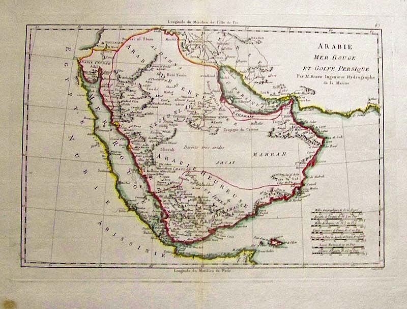
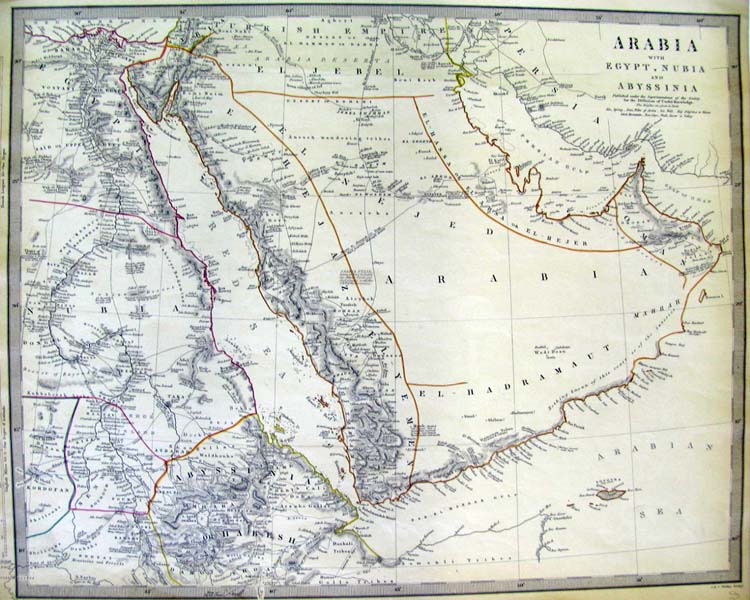
093mide: Carte de L’Arabie, du Golfe Persique, et De La Mer Rouge, Bonne 1774 - An excellent hand colored and copper engraved map of Arabia and the Red Sea, by the French cartographer Robert Bonne. Very detailed, Jerusalem at the top with the Gulf of Persia to the Northeast, the Tropic of Cancer runs through the middle of the map, Qatar, Bahrain, Saudi Arabia don’t exist yet and Egypte is noted across the Red Sea. Very rare and hard to find map of the Arabian Peninsula, especially in this condition. From Atlas Encylopedique, by Bonne and Desmarets. Condition: Very good, wide margins, major fold in middle not really visible, small browning on outside of bottom left margin and right. size 14 x 10 inch image. $200 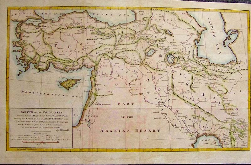
094mide: Sketch of the Countries Situated between Shiraz and Constantinople Melish, 1824 - A rare and unusual engraved and originally colored map showing the route of his majesty’s mission under Sir Harford Jones Bart. In 1809 from Bushire to Tehran and then to Constantinople, also the route of Col Malcolm in 1801 by J. Rennell. Condition: Very Good, small right margin some folds but good vibrant pastel color with some water stains throughout but not very noticeable. size 17 x 10 in. image. $350 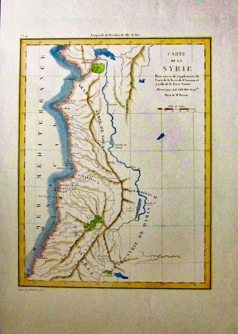
095mide: Carte De La Syrie Blanchard and Freres, 1844 A hand colored and steel engraved map of Syria from the Atlas Georgraphique et Iconographique, Paris and published by M. L. Migne. The topography is highly detailed and the map covers Syria, Lebanon, Palestine and what now is Israel. Condition: Very good, small left margin browning on edges and light foxing in margins. size 10.5 x 14 inch image. $100 
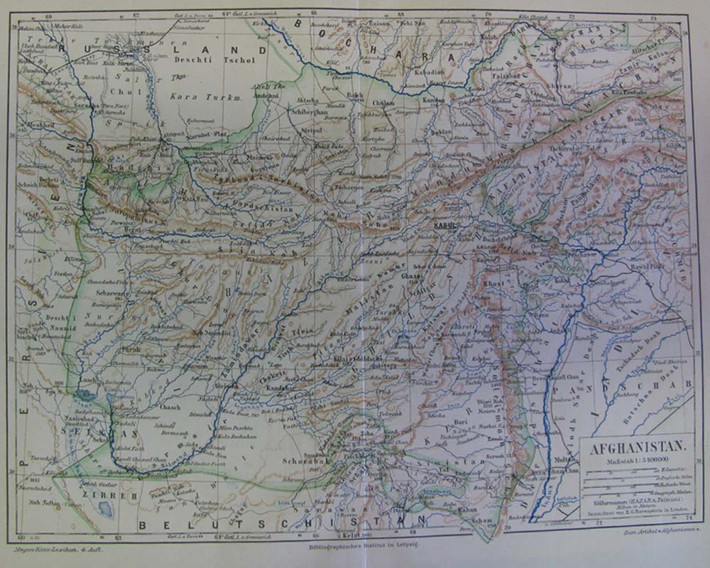
096mide: Afghanistan (Cabool) The Punjab and Beloochistan, Tallis, 1850 - A very attractive steel engraved map of Afghanistan and Pakistan by John Tallis, with three wonderful inset vignettes: 1.) of a Sultan Mahmoud and Fortress Ghuznee, 2,) another with Lahore with horses, camels, riders and mosques in the background, 3.) Boats on the Indus River. India, or Hindoostan as it is called on the map to the lower right with the Arabian Sea on the bottom left, the map has a very decorative motif border as with most Tallis and Rapkin maps of the time. From Tallis’s Illustrated Atlas, and Modern History of the World, Geographical, Political, Commercial and Statistical. Condition: Very good, small margins, slight tears on top margin outside the image, some browning on edges. size 13.5 x 9.5 inch image. $200 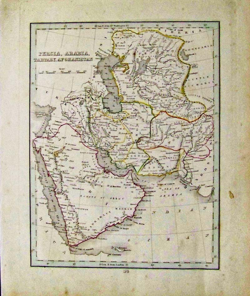 098mide: 1835 Persia, Arabia, Tartary, Afghanistan hand colored map. 12-1/2 x 10-1/2 in. $60 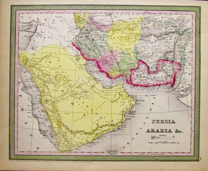
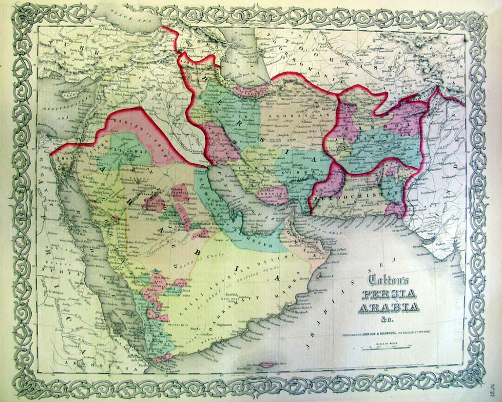
099mide: 1850 Rare hand colored engraved map of Persia and Arabia &c. Entered According to Act of Congressby Thomas Cowperthwait & Co. 17 x 13-1/2 in. $160 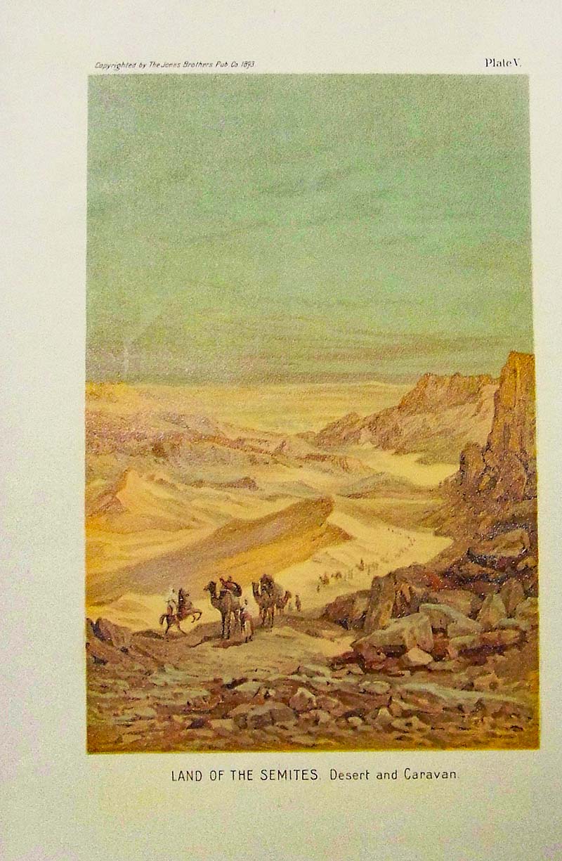
101mide: 1893 Color image showing the Land of the Semites -- Desert and Caravan. Copyrighted by the Jones Brothers Publishing Company. Plate V. 10 x 6-1/2 in. $30 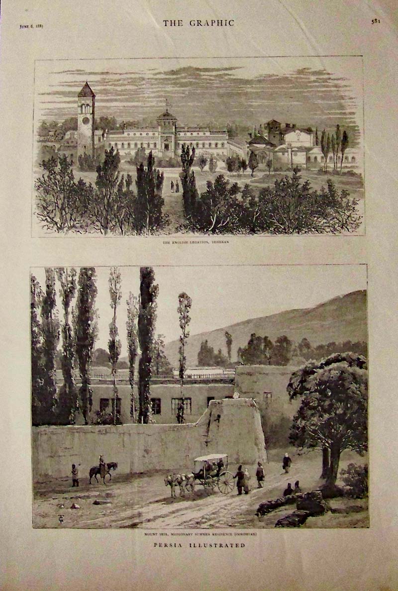
102mide: 1885 The Graphic wood engravings showing in top image, "The English Legation, Teheran;" and bottom image shows "Mount Seir, Missionary Summer Residence (Ooromiah)." Caption underneath reads, Persia Ilustrated." 16 x 11 in. $30 
103mide: Mohammedanism color map showing the Modammedan Empire with an inset of Mesopotamia, Irak, and Syria. Plate VIII. 14-1/2 x 10 in. $60 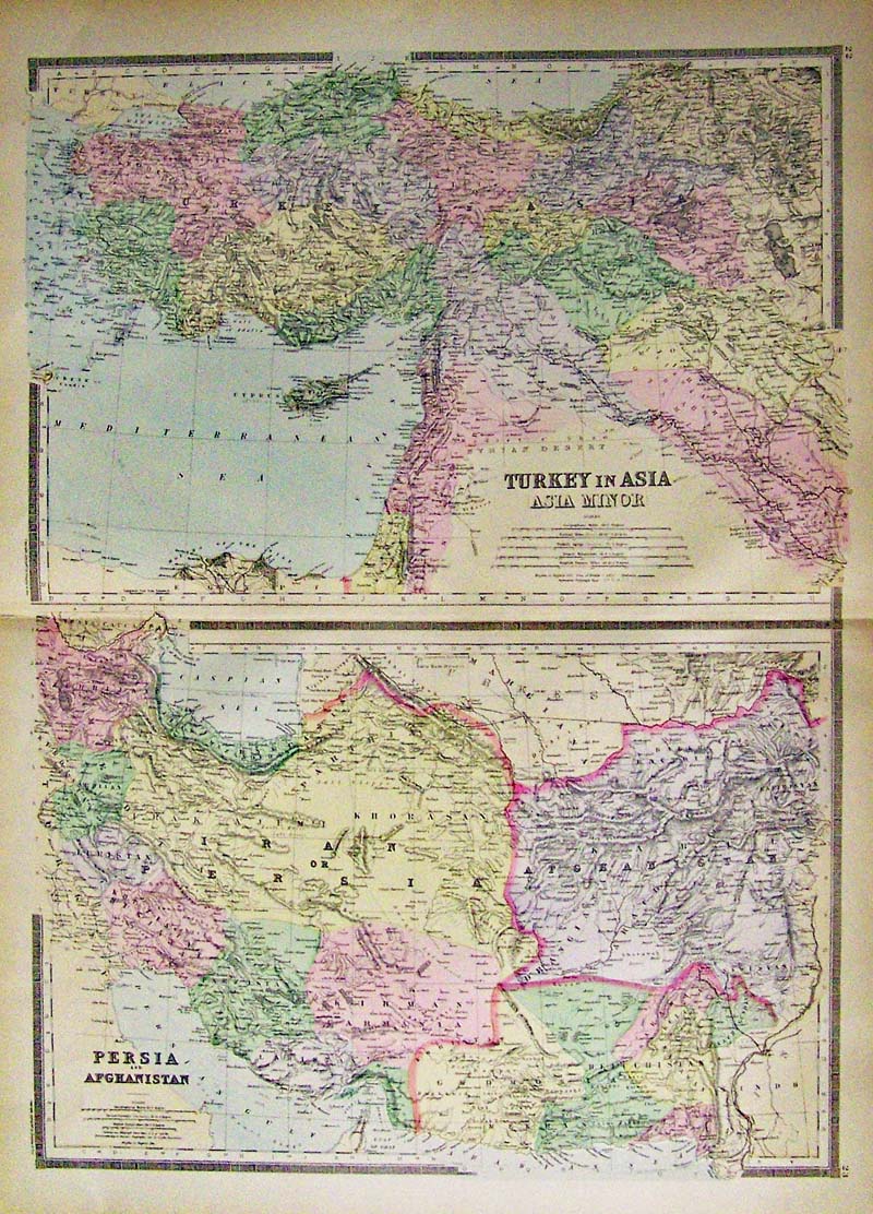
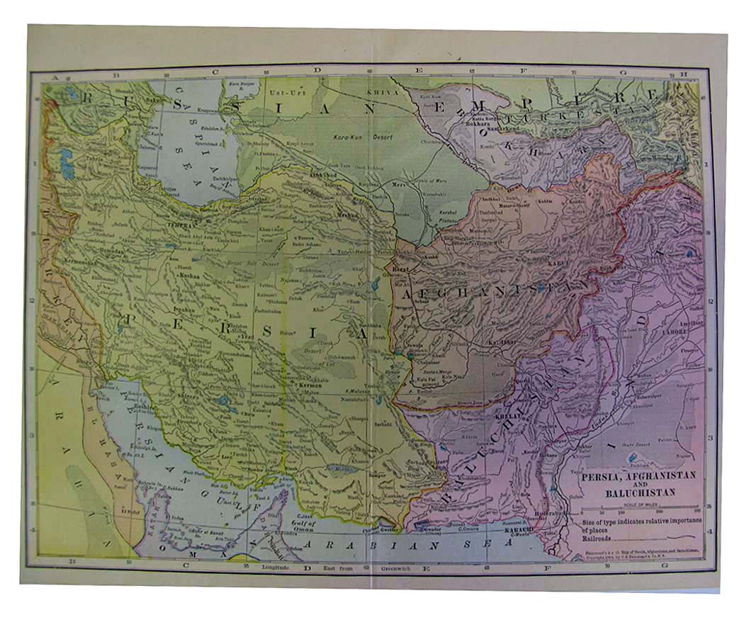
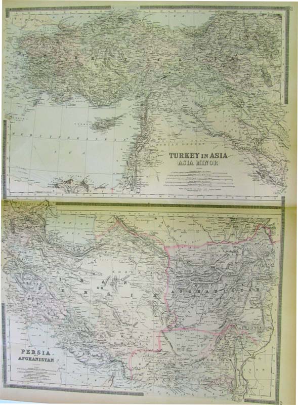
104mide: Two colored maps on one page. Top map is of Turkey in Asia (Asia Minor) and bottom map shows Persia and Afghanistan. 25-1/2 x 19 in. $110 |
|||||||||
| Order Form | |||||||||||
| Back to Homepage | |||||||||||