|
|||||||||||
This is a small selection of our inventory of antique North Carolina maps and prints. Additional inventory is available. Contact us with your request. 1-800-879-6277
|
|||||||||||
|---|---|---|---|---|---|---|---|---|---|---|---|
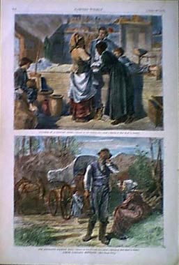 003nc: 1872 North Carolina scenes. Blacks in country store and immigrants. Hand colored, two views on one page. Harper's. 11x16 in. $60 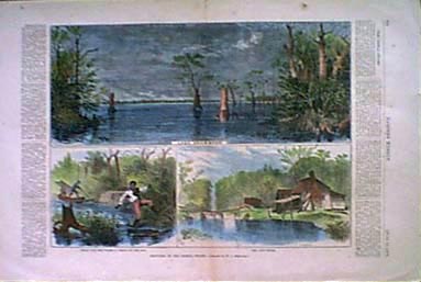 007nc: 1873 North Carolina 'Sketches in The Dismal Swamp.' Three authentic hand-watercolored antique engravings on one page, plus descriptive text from original Harper's Weekly published in 1873. Lake Drummond; Going into the Swamp-A check on the Tow; and The Lone House. Genuine antique produced in 1873 - NOT a reproduction! 16x11 in. $50 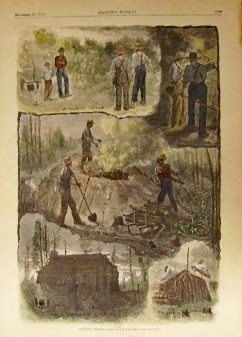 011nc: 1879 North Carolina. Five views on one page titled, "Charcoal Burning." Hand colored engravings from Harper's Weekly dated December 27, 1879. 11x16 in. $50 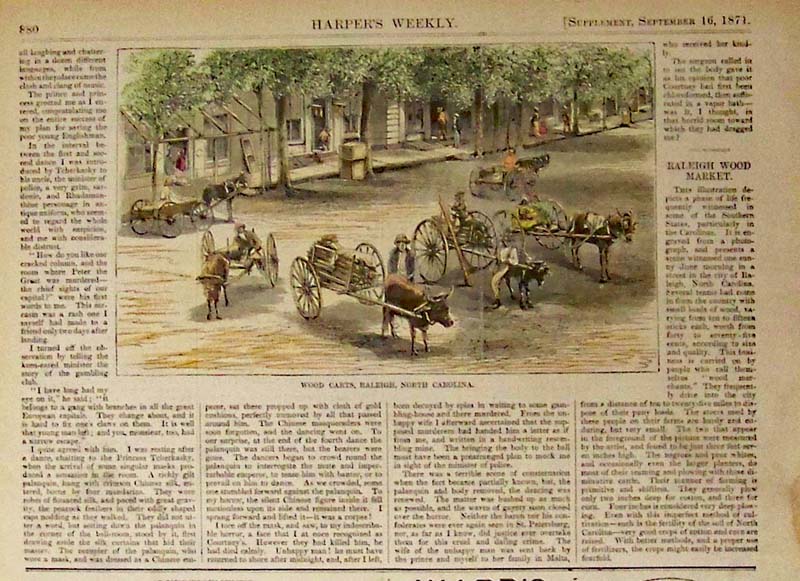 012nc: 1871 Wood Carts, Raleigh, North Carolina. Hand colored wood engraving from Harper's Weekly. 11 x 7-1/2 in. $40 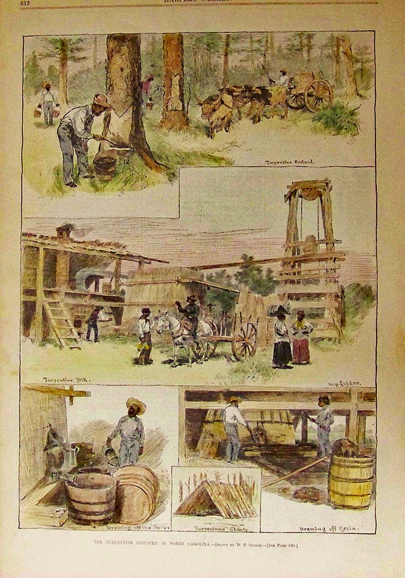
013nc: 1884 The Turpentine Industry in North Carolina. Hand colored wood engraving featured in Harper's Weekly. 15 x 11 in. $60 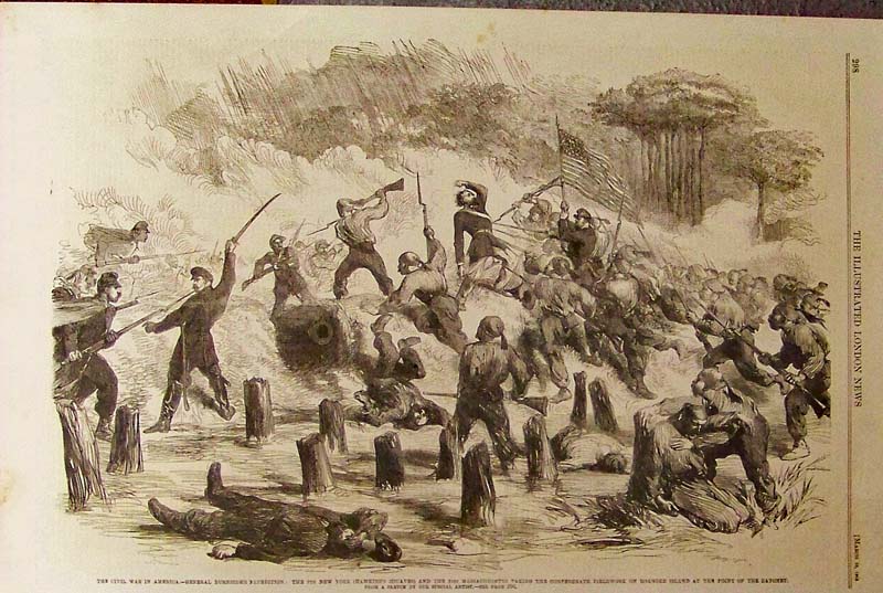
014nc: 1862 The Civil War in America - General Burnside's Expedition: The 9th New York (Hawkin's Zouaves) and the 21st Massachusetts Taking the Confederate Fieldwork on Roanoke Island at the Point of the Bayonet. Wood engraving featured in The Illustrated London News. 15-1/2 x 10-1/2 in. $50 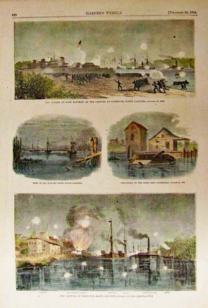
015nc: 1864 The Capture of Plymouth, North Carolina, October 31, 1864. Harper's Weekly hand colored wood engravings. 15-1/2 x 10-1/2 in. $50 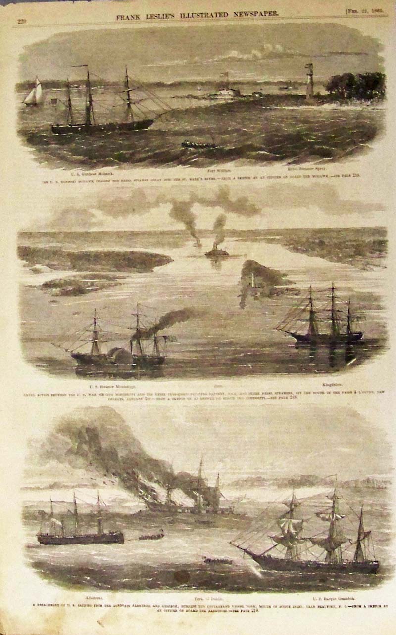
016nc: A Detachment of U.S. Sailors from the Gunboats Albatross and Gemsbok, Burning the Contraband Vessel York, Mouth of Bogue Inlet, Near Beaufort, N.C. Wood engravings featured in Frank Leslie's Illustrated Newspaper. 16 x 10 in. $50 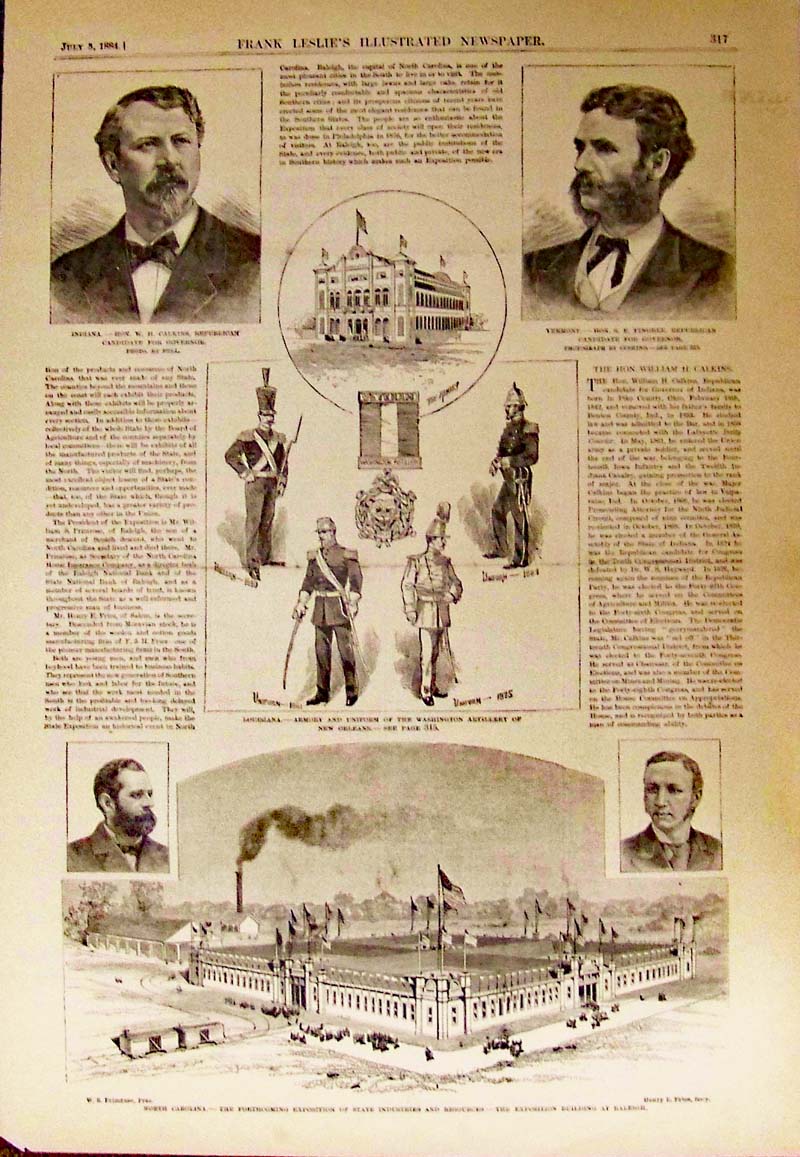
017nc: North Carolina,-- the Forthcoming Exposition of State Industries and Resources -- The Exposition Building at Raleigh. Frank Leslie's Illustrated Newspaper wood engravings. 16 x 11 in. $40 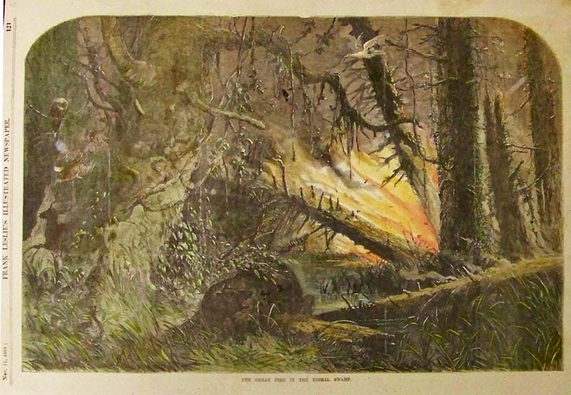
018nc: 1865 The Great Fire in the Dismal Swamp. Hand colored wood engraving from Frank Leslie's Illustrated Newspaper. 15 x 10-1/2 in. $60 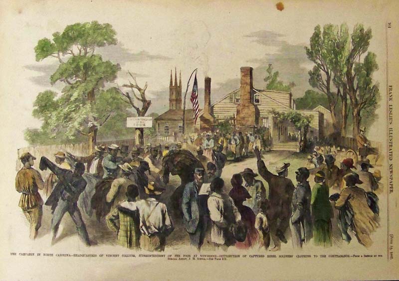
019nc: 1862 The Campaign in North Carolina -- Headquarters of Vincent Collyer, Superintendent of the Poor at Newberne -- Distribution of Captured Rebel Soldiers' Clothing to the Contrabands. Hand colored wood engraving featured in Frank Leslie's Illustrated Newspaper. 16 x 11 in. $60 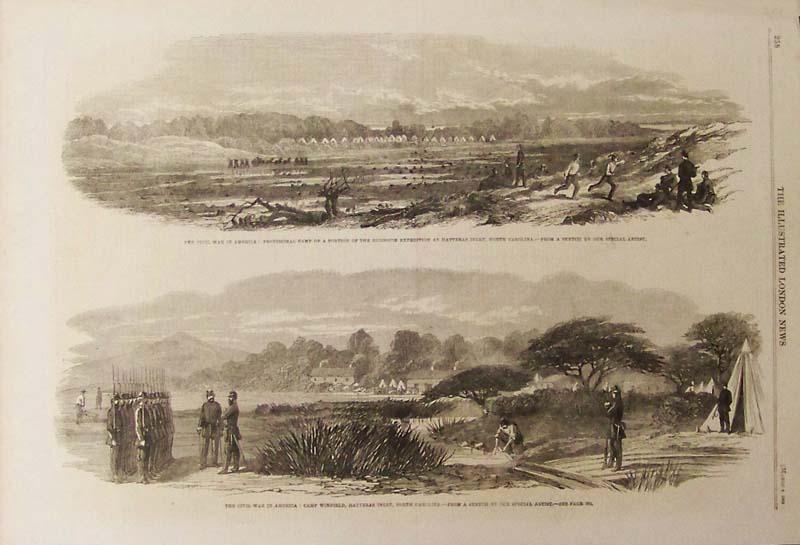
020nc: 1862 The Civil War in America: Camp Winfield, Hatteras Inlet, North Carolina. Wood engraving featured in The Illustrated London News. 16 x 11 in. $60 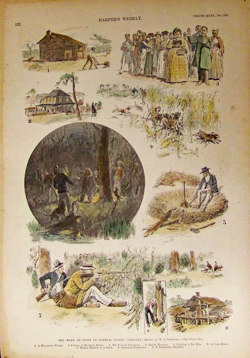 022nc: 1891 The Week of Sport in Central North Carolina. Harper's Weekly hand colored wood engraved scenes. 16 x 11 in. $60 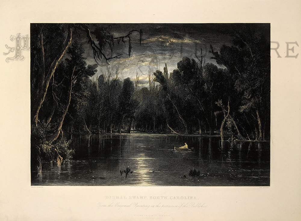 019amla: 1869 Rare hand colored steel engraving from American Landscape published from the Original Painting in the Possession of the Publishers of William Pate & Company, New York. Engraving title is, "Dismal Swamp, North Carolina." Engraving shows a lone canoer rowing by moonlight. 16 x 11-1/2 in. $250 |
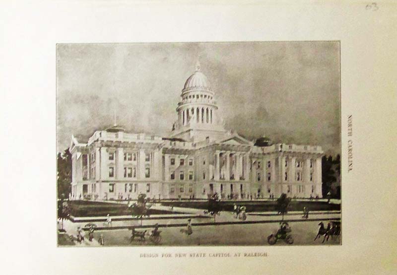
023nc: 1903 Design for New State Capitol at Raleigh - Half-tone image of the State Capitol in Raleigh, North Carolina. 10 x 7 in. $25 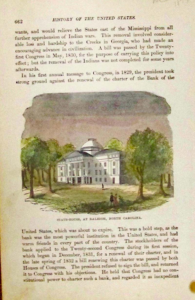
024nc: 1877 State-House at Raleigh, North Carolina. Hand colored wood engraving featured in the History of the United States. Text surrounds image. 8-1/2 x 5-1/2 in. $30 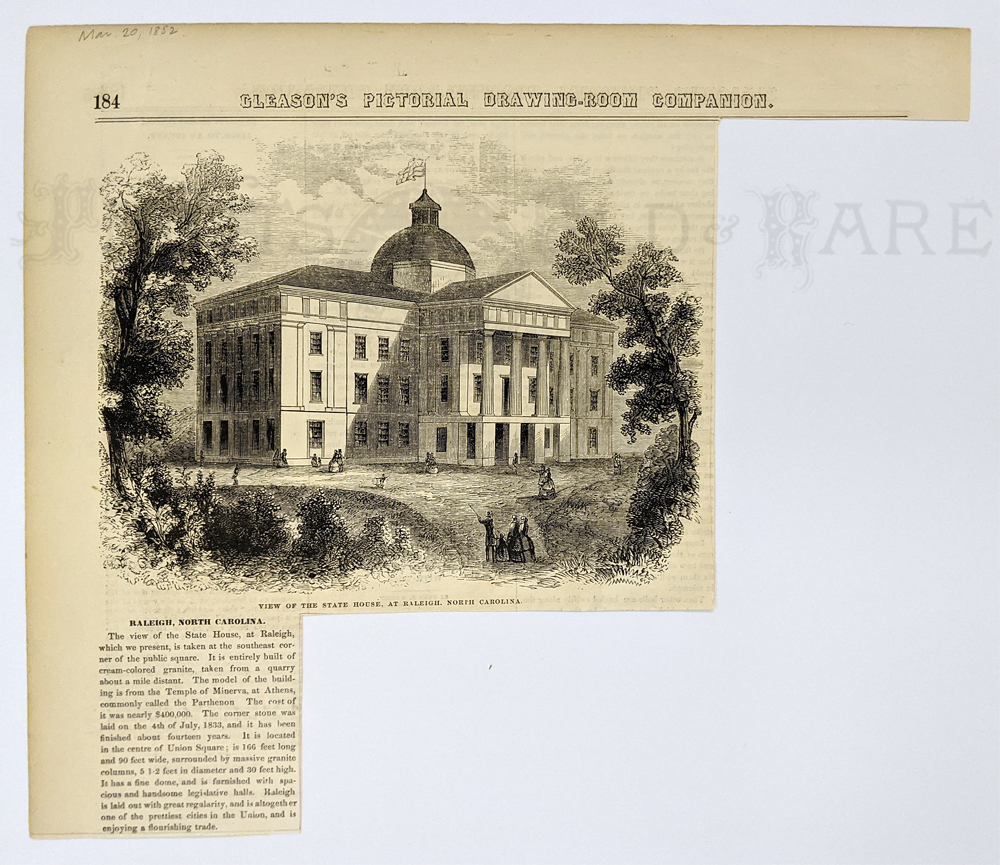
025nc: 1855 View of the State House at Raleigh, North Carolina. Hand colored wood engraving featured in Gleason's Pictorial Drawing-Room Companion. 9-1/2 x 8 in. $40 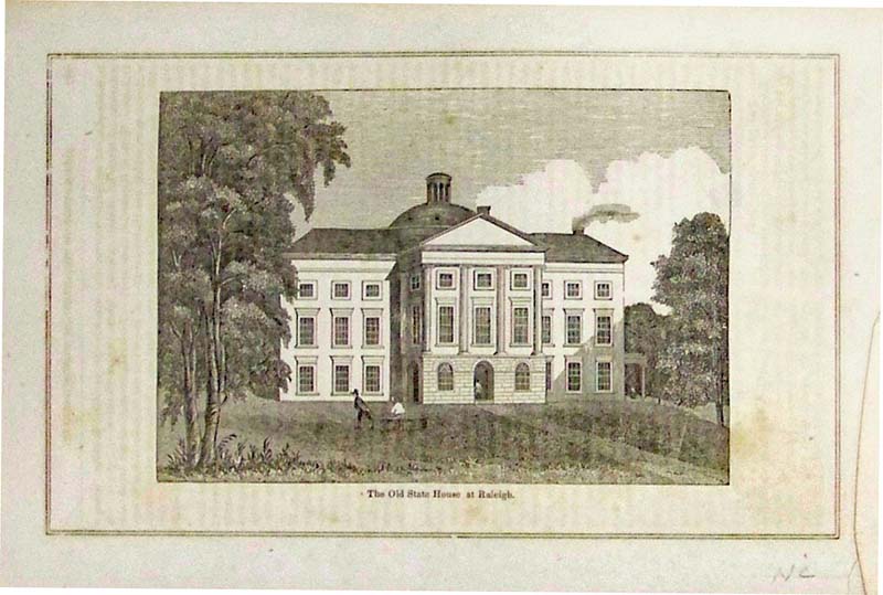
026nc: 1850 The Old State House at Raleigh. Wood engraved view. 9 x 6 in. $30 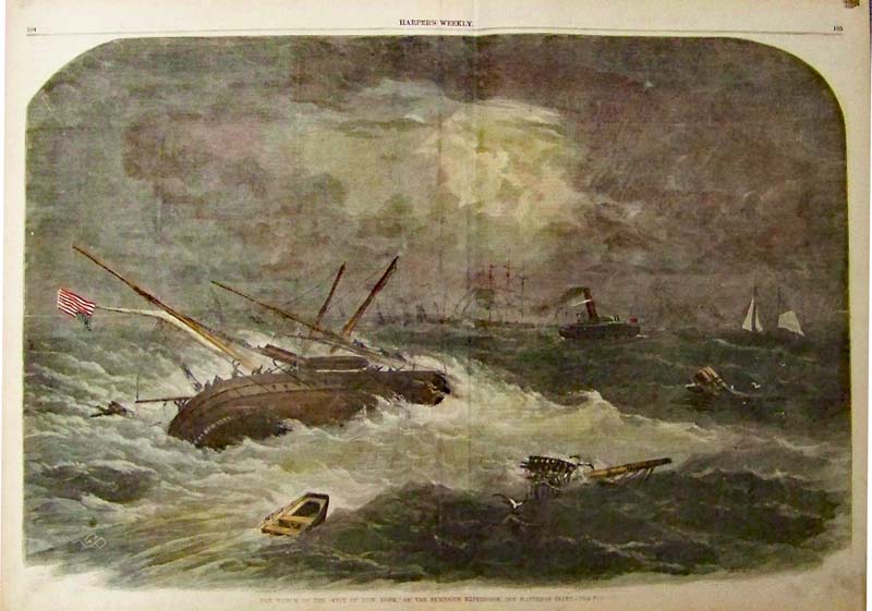
027nc: 1862 The Wreck of the "City of New York," of the Burnside Expedition, Off Hatteras Inlet. Hand colored wood engraving featured in Harper's Weekly. 22 x 16 in. $120 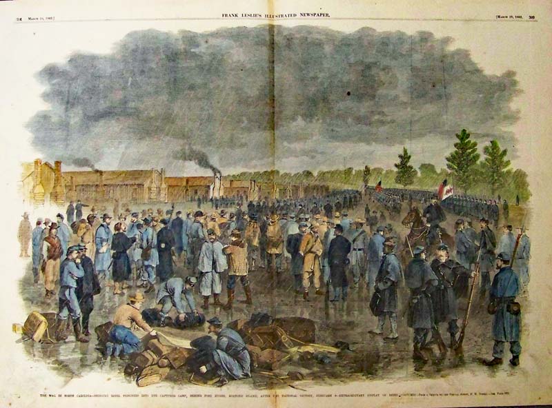
028nc: 1862 The War in North Carolina -- Bringing Rebel Prisoners into the Captured Camp, Behind Fort Huger, Roanoke Island, after the National Victory, February 8 -- Extraordinary Display of Rebel Costumes. Hand colored wood engraving featured in Frank Leslie's Illustrated Newspaper. 22 x 16 in. $120 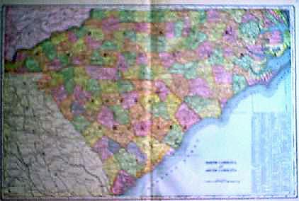 105nc: 1901 Color Map of Carolinas. Old color engraving of North and South Carolina, with counties by original color. Key with county and city locations. Very nice. 22x15 in. $40 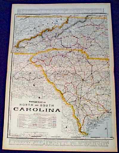 111nc: 1901 Map: western North and South Carolina. Beautiful map from the 1901 first edition of George Cram's folio-size world atlas. Color coded lines on the map show the names and locations of railroads throughout the region. State and county borders are outlined in yellow. Cities, towns and geographical features are all shown. This map would look great in a frame! 18x27 in. $100 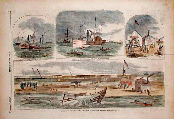 117nc: Four hand colored engravings from the February 15, 1862 issue of Harper's Weekly. The Burnside Expedition at Hatteras Inlet. Larger image on bottom shows, Fort Halleras - Fort Clark in the distance. 11x16 in. $60 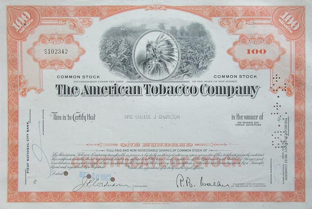 206nc: The American Tobacco Company Stock. 100 shares of Common Stock Certificate dated September 20, 1967. Cashed March 3, 1969. Very decorative, with a portrait of an Indian over a view of a tobacco field in the top center. 12x8 in. $30 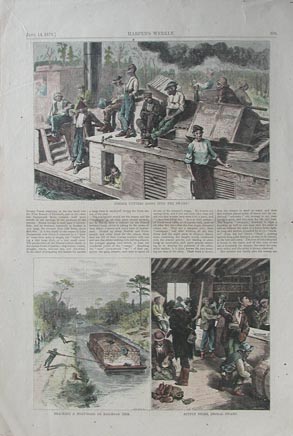 208nc: Hand colored wood engravings from the June 14, 1873 issue of Harper's Weekly. Larger image on top of page is titled, Timber Cutters Going into the Swamp. Two images on lower part of page titled, Tracking a Boat-Load of Railroad Ties. and Supply Store, Dismal Swamp. 11x16 in. $60 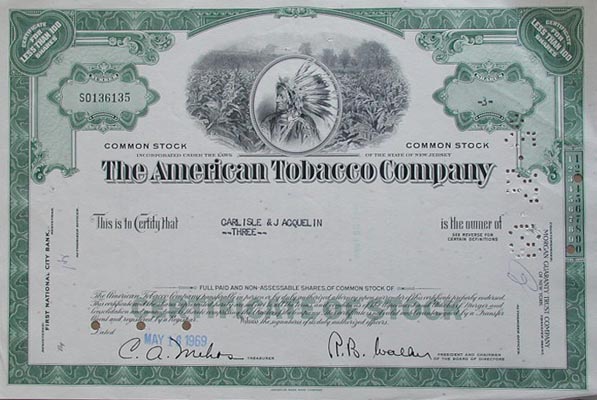
212nc: The American Tobacco Company Stock. 3 shares of Common Stock from 1969. Very decorative, with a portrait of an Indian over a view of a tobacco field in the top center. 12x8 in. $30 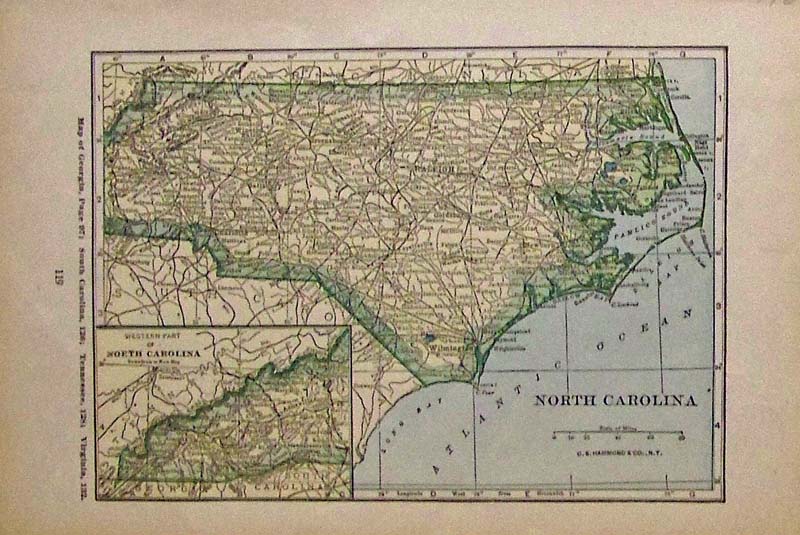 213nc: 1927 Color North Carolina map which also has an inset of the Western Part of South Carolina. Published by C.S. Hammond & Co., N.Y. 9-1/2 x 6 in. $40 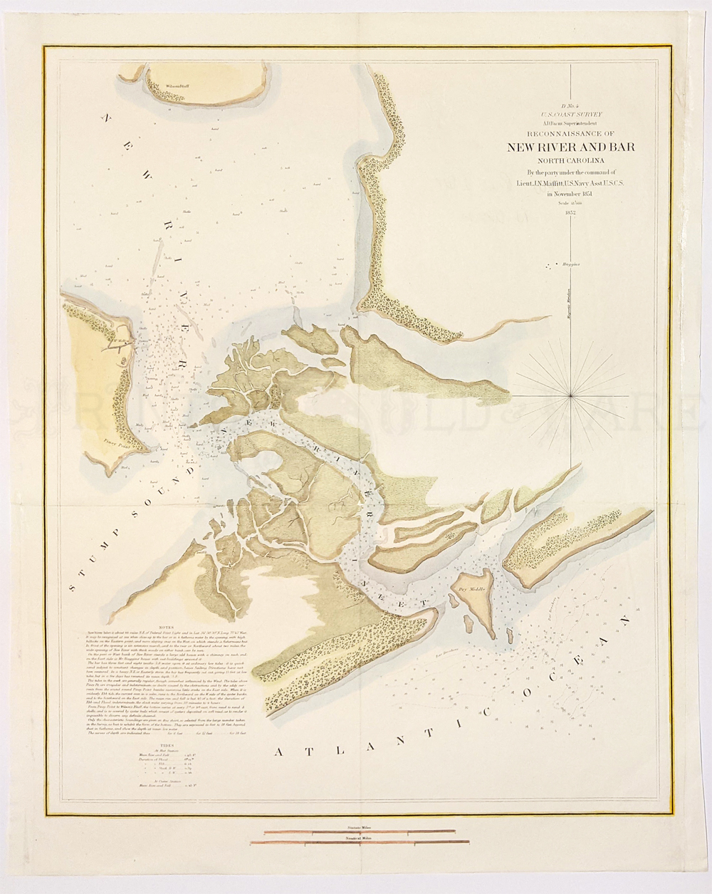
214nc: 1851 Hand colored lithographed U.S. Coast Survey by A.D. Bache, Reconnaissance of New River and Bar, North Carolina, by the Party under the Command of Lieut. J.N. Maffitt, U.S. Navy Asst. U.S.C.G. There's a Notes and Tides guide bottom left side. 18-1/2 x 15 in. $180 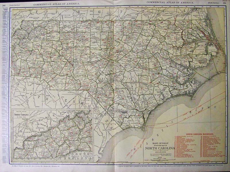
215nc: 1925 Color engraved North Carolina Railroads map featured in the Commercial Atlas of America. Rand McNally, Standard Map of North Carolina, with inset of the Western Portion of North Carolina on Same Scale. This is a County Outline Map which also shows county boundaries and county names. 28 x 20-1/2 in. $90 |
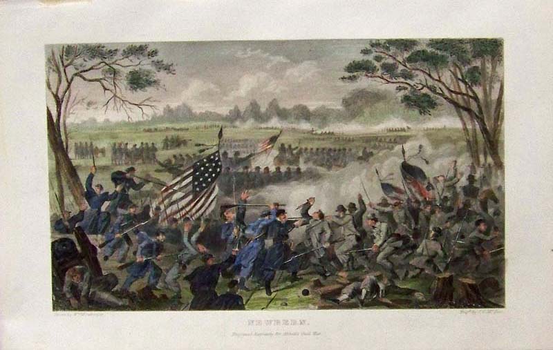 226nc: C.1865 Hand colored steel engraving showing "Newbern," which was an important Civil War battle. Fine condition. 9-1/2 x 6-1/4 in. $80 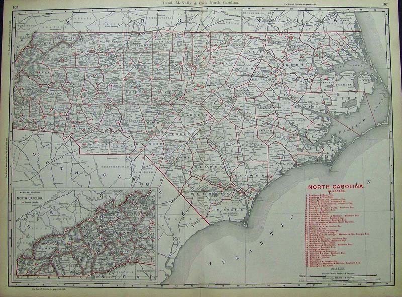 227NorthCarolina: 1892 Rand, McNally & Company's North Carolina red outlined Railroads Map with inset bottom left of the Western Portion of North Carolina on the same scale. Railroads key on bottom right of map. 27 x 20-1/2 in. $250
|
|||||||||
| Order Form | |||||||||||
| Back to Homepage | |||||||||||