|
|||||||||||
This is a small selection of our inventory of antique Salt Lake City, UT maps and prints. Additional inventory is available. Contact us with your request. 1-800-879-6277
|
|||||||||||
|---|---|---|---|---|---|---|---|---|---|---|---|
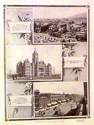 008slc: 1915 Salt Lake City views. Three black & white half-tone views of Salt Lake City, with text. 11x15 in. $50 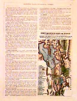 009slc: 1874 Mining Map of Utah. Small map compiled from US Government surveys. Hand colored antique engraving. 3-1/2x6-1/2 in. $30 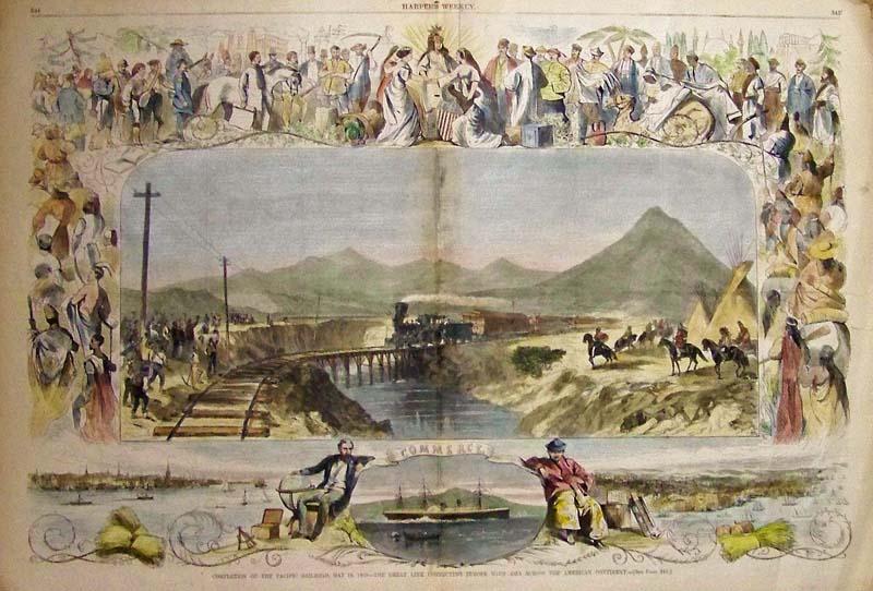
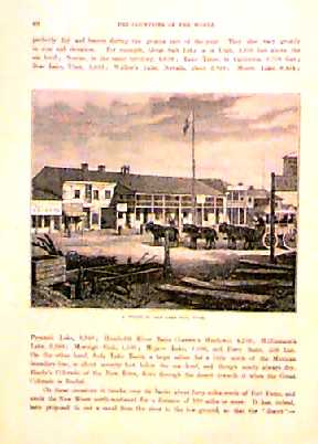
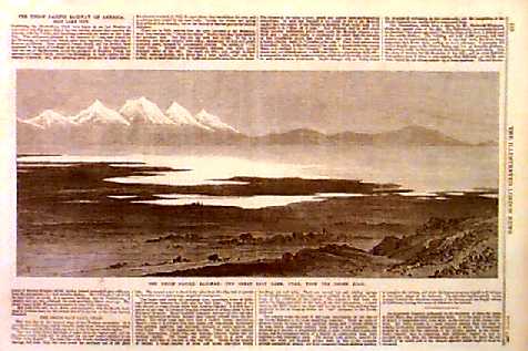
010slc: Hand colored wood engraving from Harper's Weekly showing the "Completion of the Pacific Railroad, May 10, 1869 -- The Great Link Connecting Europe with Asia Across the American Continent." 22 x 16 in. $250  101slc: 1869 View of Salt Lake City Utah. Hand colored panoramic view of Salt Lake City from the nearby mountains, published in Harper's Weekly. Impressive scene from the city's early days. 11x16 in. $150 Black & White: $100 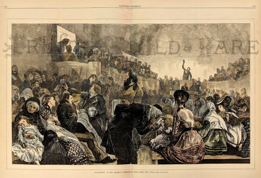 217morm: "Sacrament" in the Moron Tebernacle, Salt Lake City, Utah. Depicts Brigham Young preaching from the pulpit of the Salt Lake Tabernacle while the sacrament is administered from pitchers and goblets. 1871 Harper's Weekly. Wood engraving. 16 x 21 1/2 in. $140 |
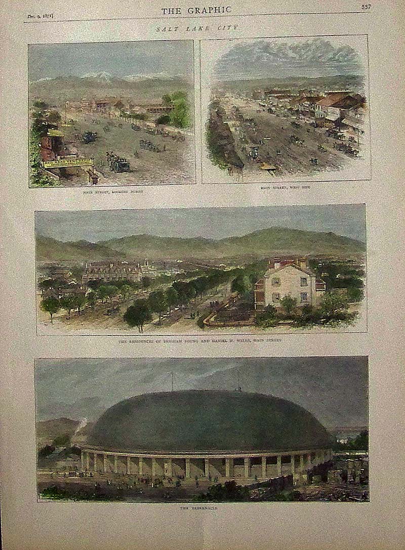
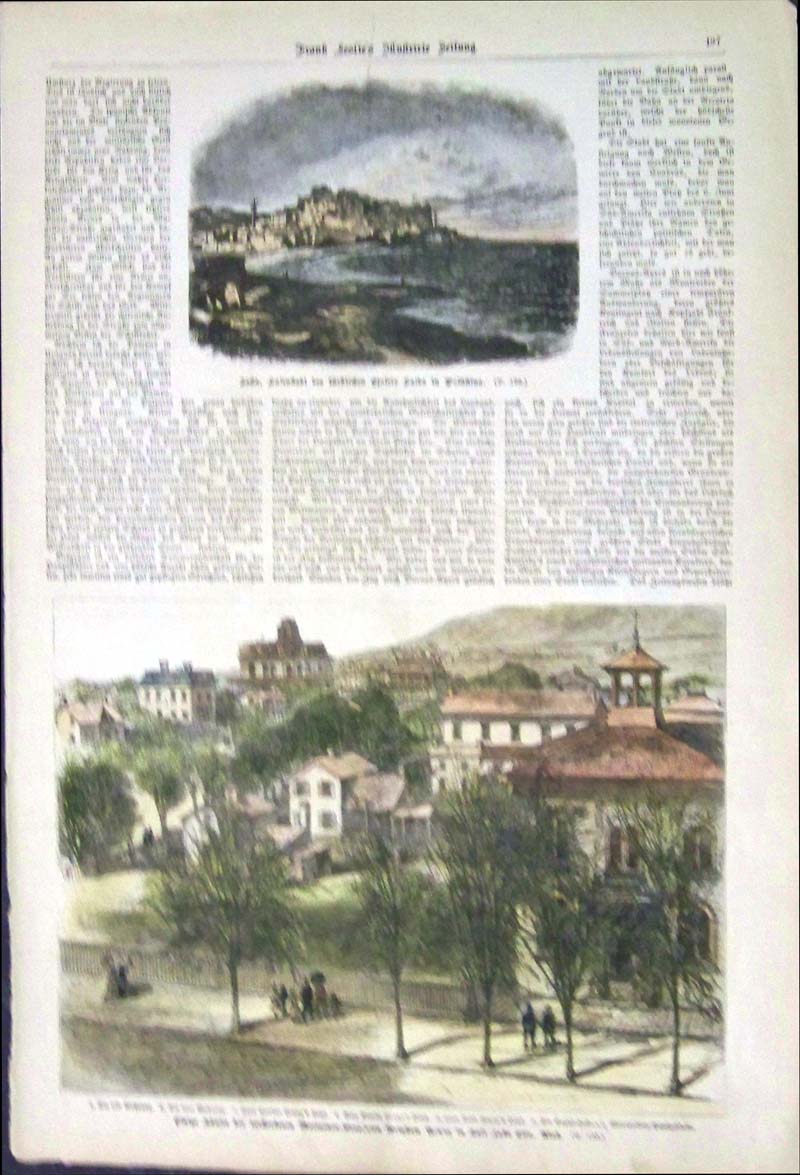 206slc: 1877 Hand colored wood engraving featured in the German issue of Frank Leslie's Illustrated Newspaper showing a portion of Salt Lake City, Utah with people strolling on a promenade in front of a Church in bottom engraving. 16 x 11 in. $50 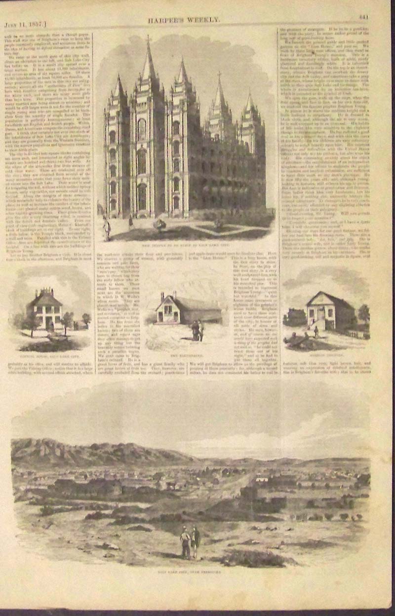 210slc: 1857 Early wood engraving featured in Harper's Weekly showing the "New Temple To Be Built at Salt Lake City," in top image; the "Council House, Salt Lake City," "The Tabernacle;" the "Mormon Theatre;" and in bottom engraving, "Salt Lake City, Utah Territory." 16 x 10-1/2 in. $30
|
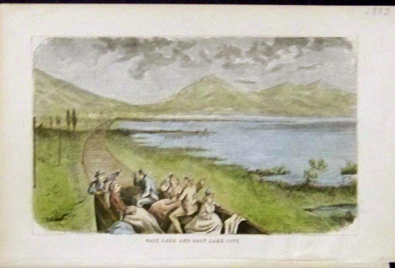
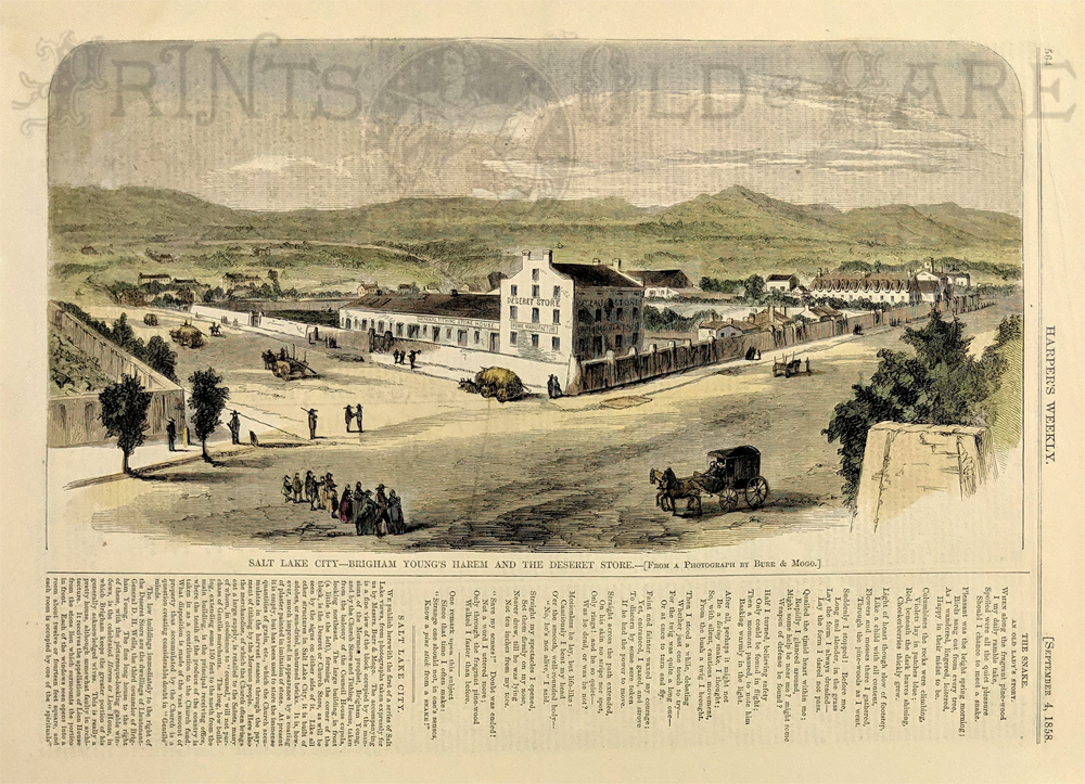
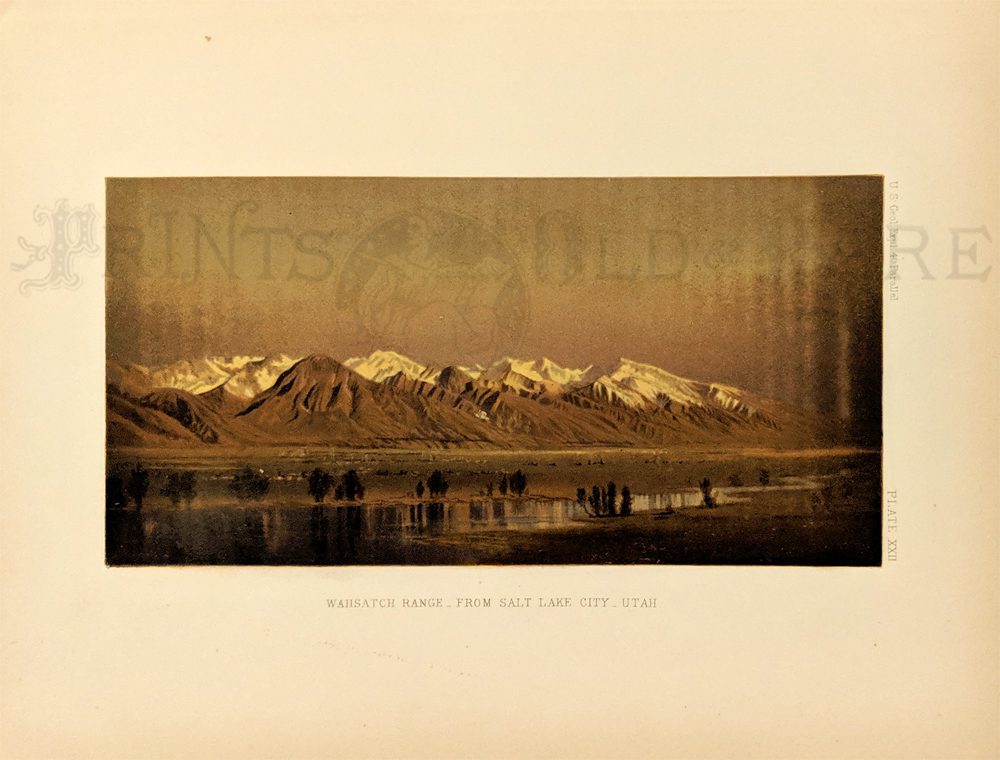 217slc: Wahsatch Range from Salt Lake City. Published in the U.S. Geo. Expl. 40 Parallel. Plate XXII. Chromolithograph. 9 x 11 1/2 in. $60 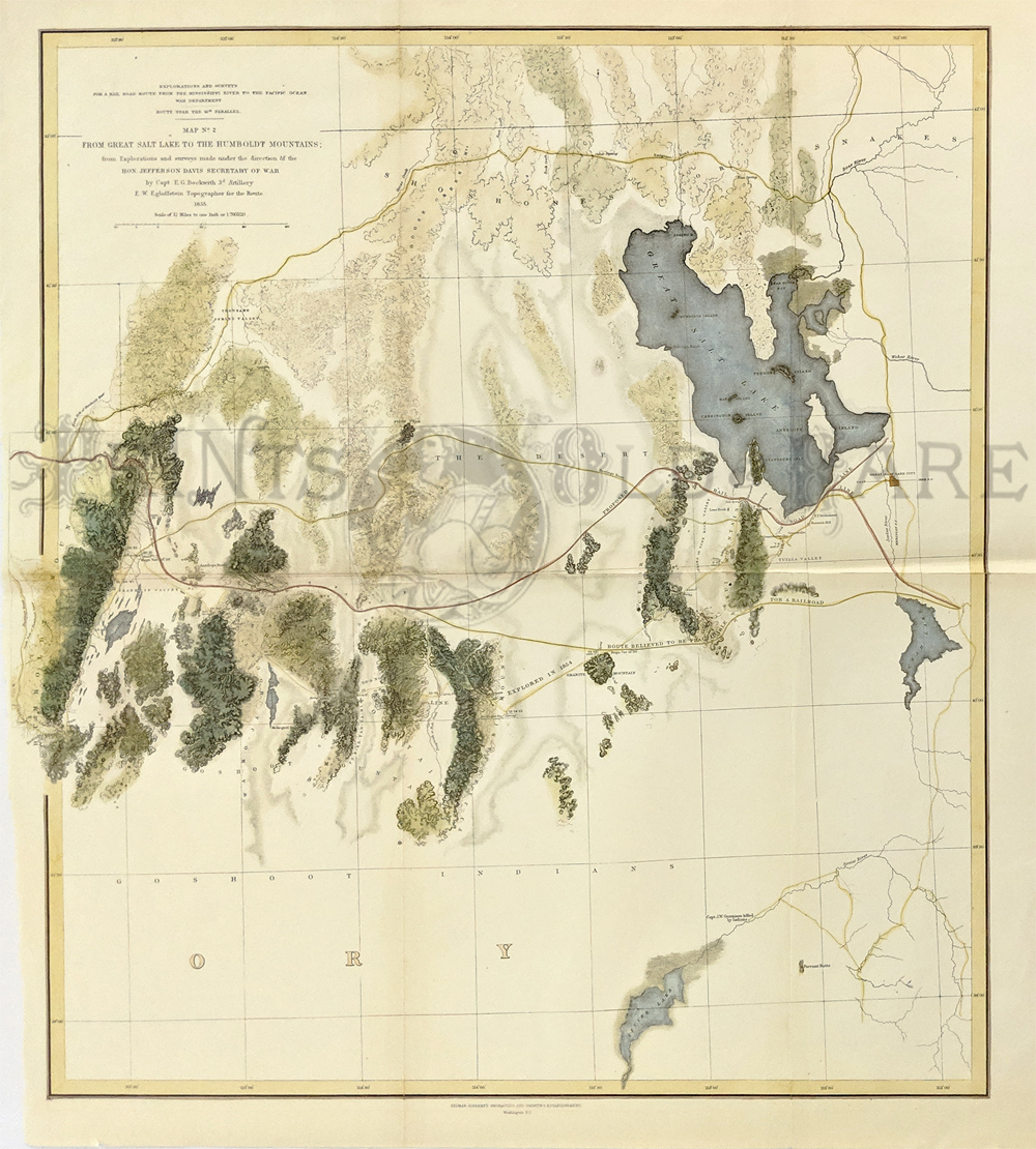 218slc: From Great Salt Lake to the Humboldt Mountains; from Explorations and surveys made under the direction of the Hon. Jefferson Davis. 1855. Showing Great Salt Lake, Utah Lake and Sevier Lake, along with the Humboldt Mountains. Several possible routes for the transcontinental railroad are marked, as well as the Emigrant Road which runs north of the Great Salt Lake. Hand colored, lithograph. 20 x 22 in. $300 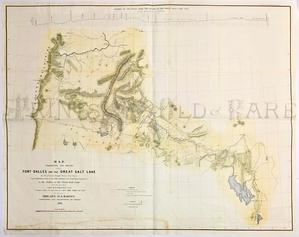 219slc: The Routes between Fort Dalles And The Great Salt Lake. 1859. Large Dixon map showing Owyhee area by Lieut. Joseph Dixon Topl. Explorations made by him while attached to the Wagon Road Expedition to the Valley of the Great Salt Lake. Inset titled "Profile Of The Route From The Dalles To The Great Salt Lake City." Relief shown by hachures. Hand colored lithograph. 26 1/2 x 34 in. $500 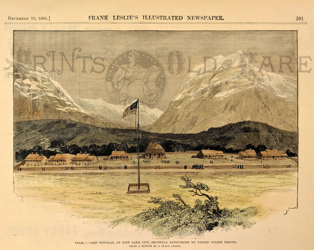 220slc: Camp Douglas, Utah - at Salt Lake City, Recently Reinforced by United States Troops. 1885 Harper's Weekly. Hand colored, wood engraving. 7 1/2 x 9 1/2 in. $50 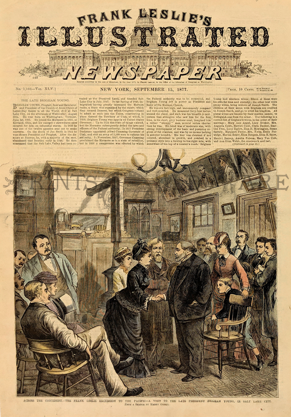 221slc: Across the Continent. --The Frank Leslie Excursion to the Pacific. - A visit to the late President Brigham Young, in Salt Lake City. 1877 Frank Leslies'. Hand colored, wood engraving. 11 x 16 in. $60 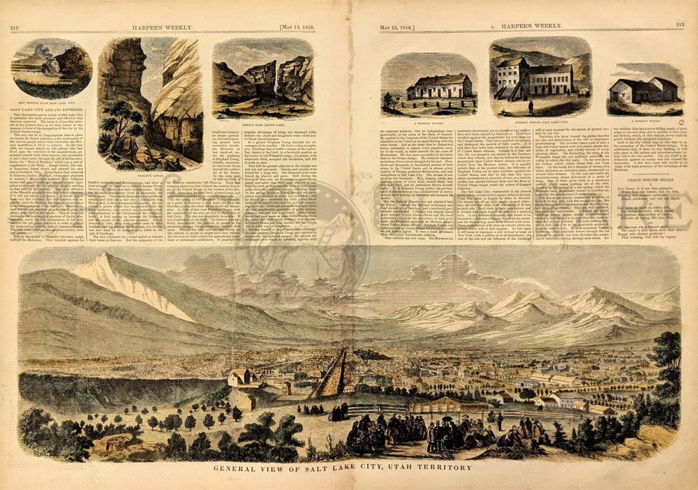 223slc: General View of Salt Lake City, Utah Territory. An early view of Salt Lake City, along with 6 other views of buildings and topographical features in and around the City. The view shows a western town and hundreds of other structures, set in a valley below the Wasatch Mountains. 1858 Harper's Weekly. Hand colored, wood engraving. 16 x 22 in. $250 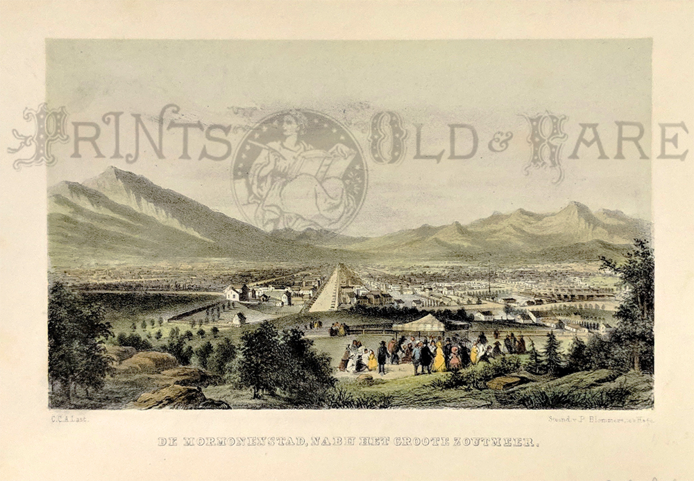 218morm: "de Mormonenstad, nabu het grote Zoutmeer" -- The Mormon City, near the Big Salt Lake. 1850 lithograph. 5 3/4 x 9 in. $80
|
|||||||||
| Order Form | |||||||||||
| Back to Homepage | |||||||||||