 
|
|||||||||||
This is a small selection of our inventory of antique Tahoe, Truckee, Donner maps and prints. Additional inventory is available. Contact us with your request. 1-800-879-6277
|
|||||||||||
|---|---|---|---|---|---|---|---|---|---|---|---|
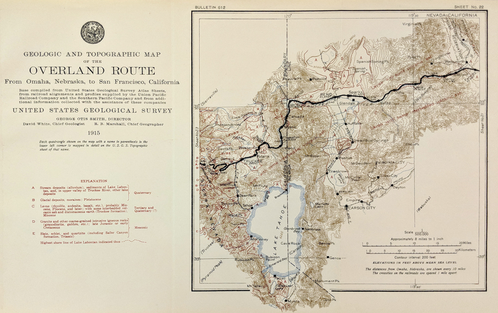 002Tahoe: Map - Wadsworth Nevada to Truckee 1915.Geological and Topographic Map by USGS. Shows Lake Tahoe, Carson City, Reno and Sparks as well as information on rocks and minerals. 8 x 13 in. $60 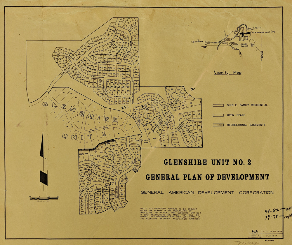 003Tahoe: Truckee - Glenshire Development Plan Map.Unit 2. Vicinity Map in upper right shows single family, open space and recreational easements. 11 x 14 in. $45 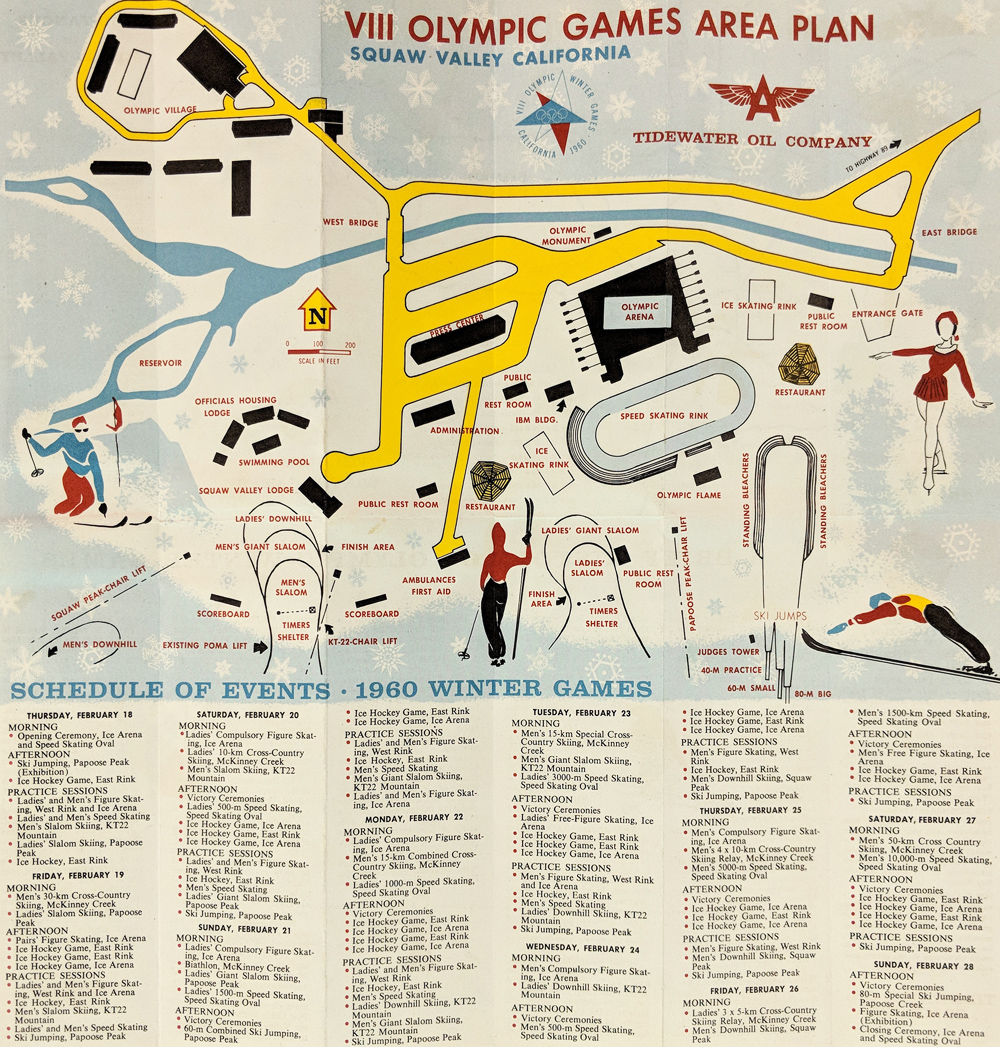 007Tahoe: Squaw Valley Map - Winter Olympics 1960 by Tidewater Oil Co. Includes schedule of events, verso, area map & history. 11 3/4 x 11 3/4 in. $60 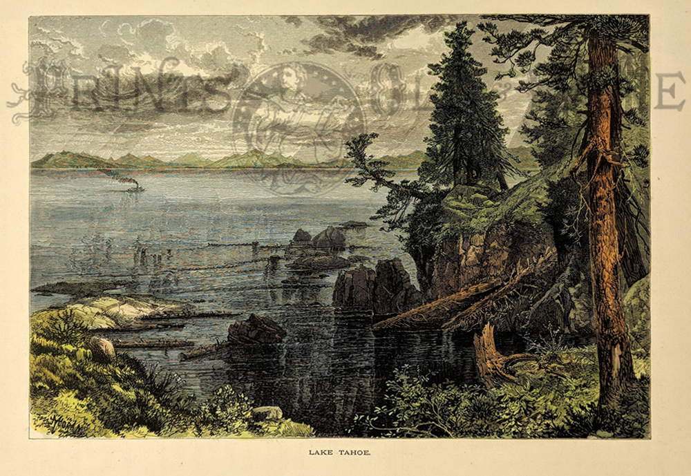 204ca: 1873 Thomas Moran Lake Tahoe California View. Beautifully hand colored woodcut engraving, drawn by Thomas Moran and published in Picturesque America 1873. Title is "Lake Tahoe." Shows a view from the lake shore, with a small steamboat in the distance. 9x12 in. $50 |
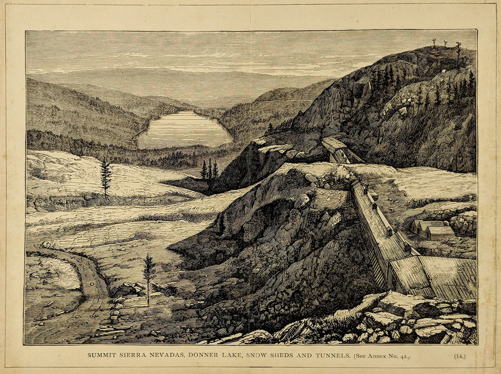 008Tahoe: Donner Lake - Railroad tracks and Snow Sheds at the Summit. 9 1/2 x 7 1/2 in. $60 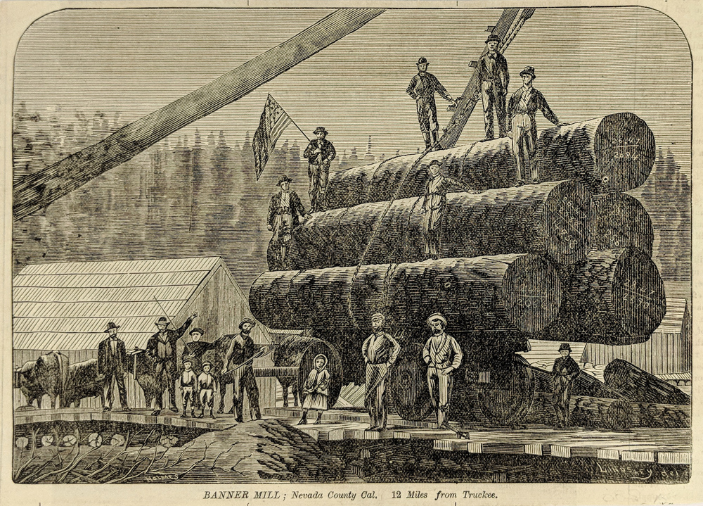 009Tahoe: Nevada County Lumbering "Banner Mill" 12 Miles from Truckee. Wood engraving. 8 x 5 3/4 in. $45 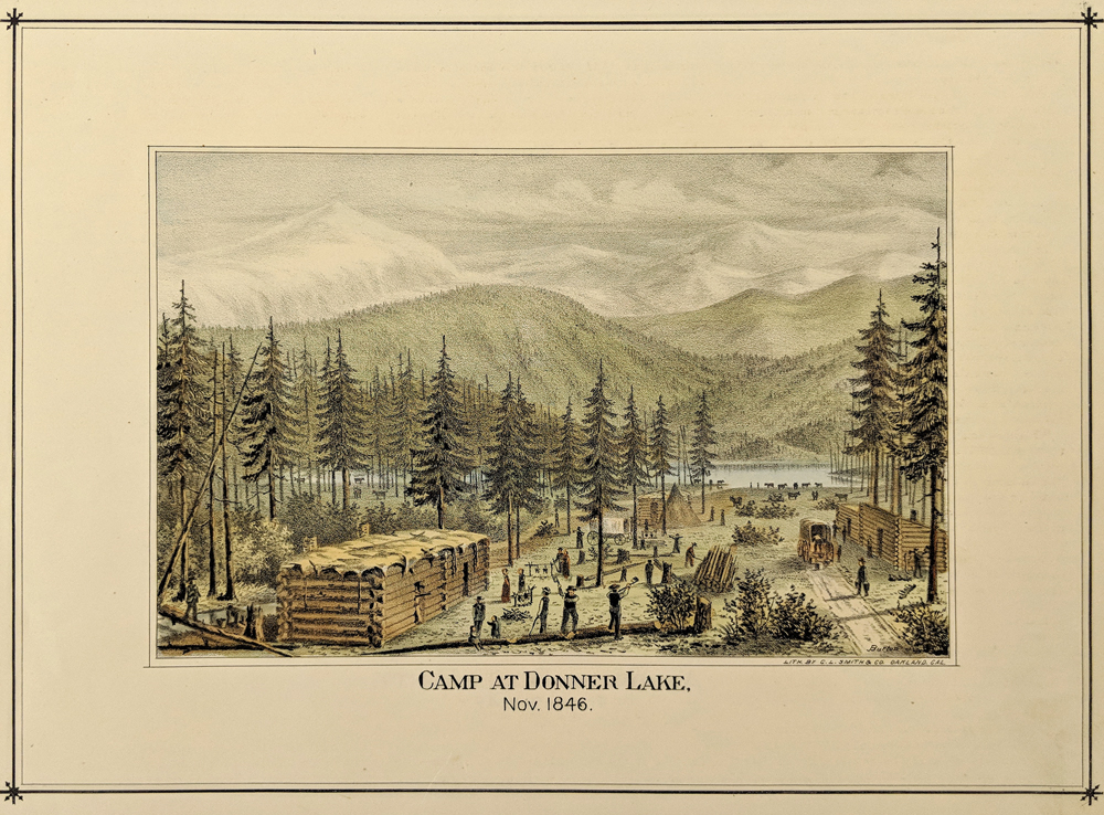 010Tahoe: Donner Party - Nov. 1846 Camp at Donner Lake. Hand colored, lithograph. 9 1/4 x 12 in. $90 SOLD 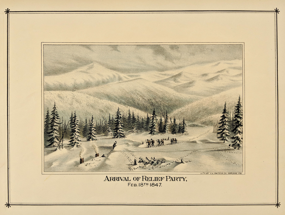 011Tahoe: Donner Party - Arrival of Relief Party in 1847. Hand colored, lithograph 1875. 11 x 14 in. $90 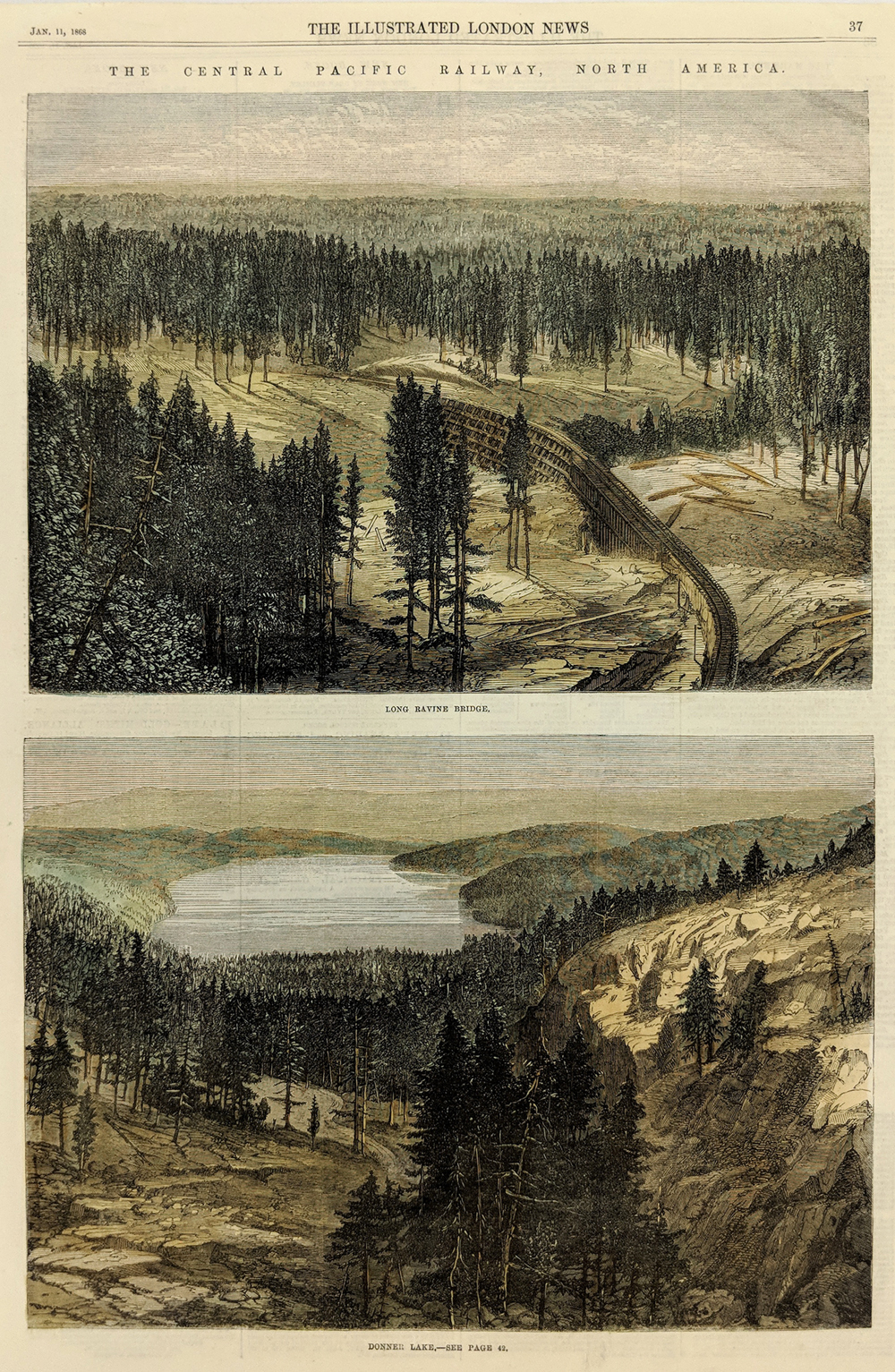 012Tahoe: Donner Lake and Long Ravine 1868. 2 Hand colored, wood engraved views plus London News. 15 1/2 x 10 1/2 in. $80 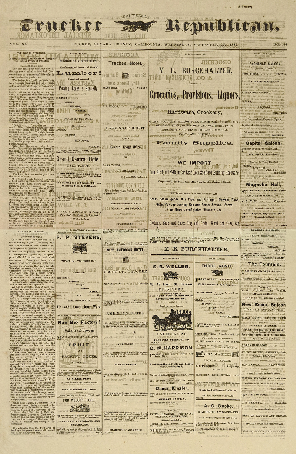 013Tahoe: 1882 Truckee Republican. Very rare newspaper. Reports on Jim Cole and John Reddy involved in a shooting at The Captial Saloon plus other articles and many ads for local businesses. Very good condition. 16 x 22 1/2 in. $65 |
 016Tahoe: 1920s Truckee Photo Album – 100 old photos in an album. Subjects include dog sledding, skiing, ice skating, ice harvesting, Truckee and scenery. Most measure 3 1/2 x 5 1/2” $550  017Tahoe: Sierra County Pictorial Map. "Sierra Booster Map 1954" North of Truckee - highlights businesses and recreation. Maps on front and back and ads. 22 x 34 in. $80 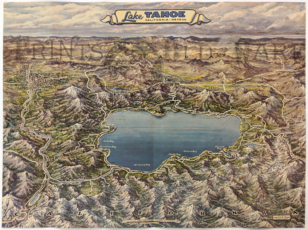 018Tahoe: 1957 Lake Tahoe Pictorial Map by the Lake Tahoe-Sierra Chamber of Commerce. Showing the cities, highways, picture points, mountain elevations, lakes and various points of interests. 17 x 23 in. $200 SOLD 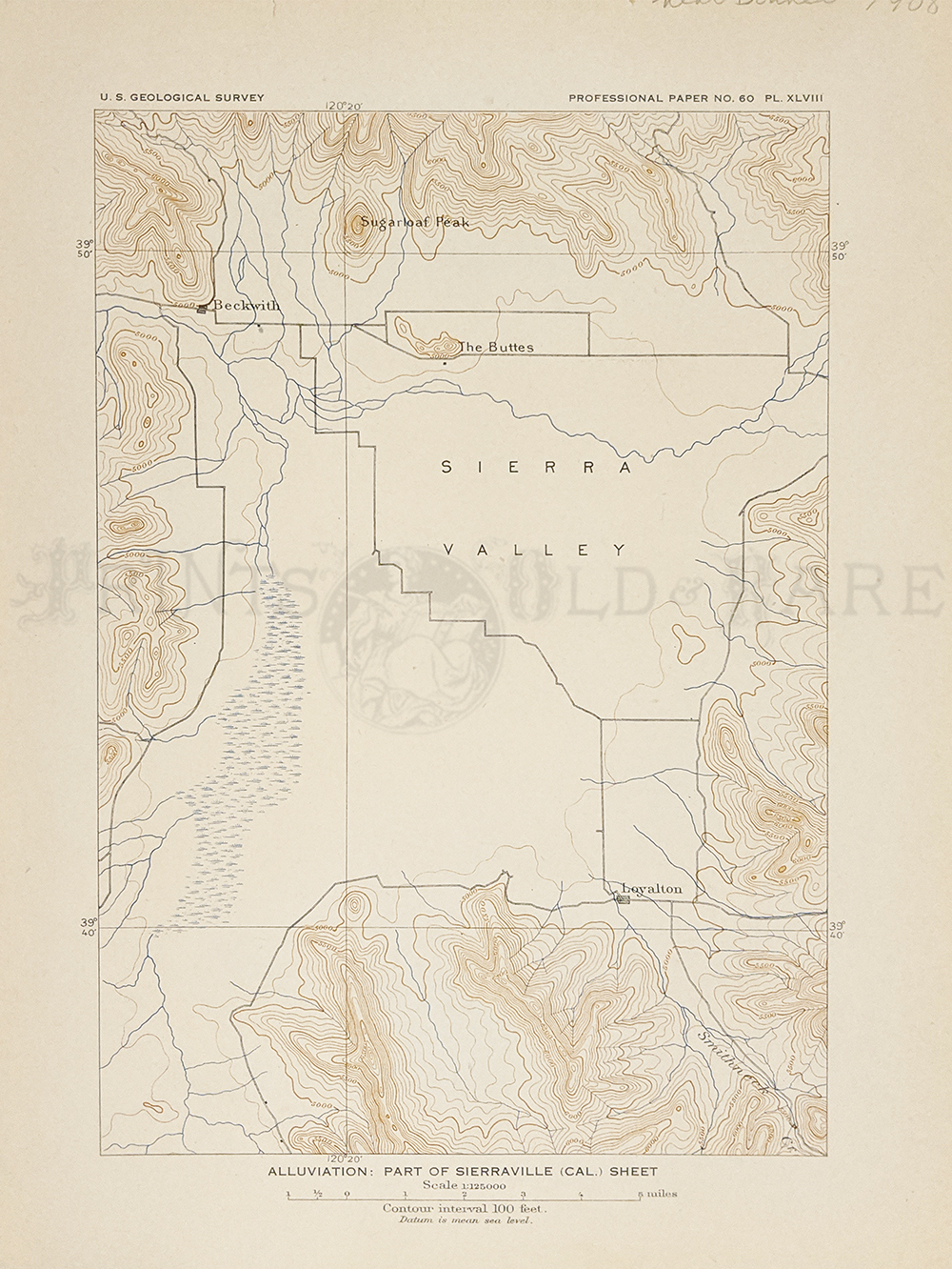 019Tahoe: Sierraville 1908 - Alluviation Geological Map - Shows Sierra Valley, Beckwith, Loyalton, The Buttes, Sugarloaf Peak. 8 1/2 x 11 1/8 in. $30 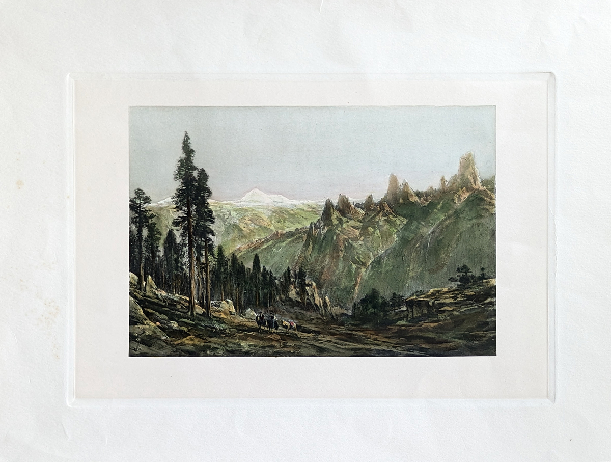 021Tahoe: A hand colored Photogravure of Castle Rocks (in the Sierras) by Thomas Hill. Published in 1888. Image Size: 8 1/2 x 12 1/2 in. Overall: 14 x 17 1/2 $80 |
|||||||||
| Order Form | |||||||||||
| Back to Homepage | |||||||||||