Social Media Links


Home Maps and Prints
by LOCATION
RARE Maps Prints
by SUBJECT
Artists Books Order Contact Us


World Maps

This is a small selection of our inventory of antique World Maps. Additional inventory is available. Contact us with your request. 1-800-879-6277 


more to explore:
WALL MAPS
RARE MAPS
U.S. MAPS


200wld:
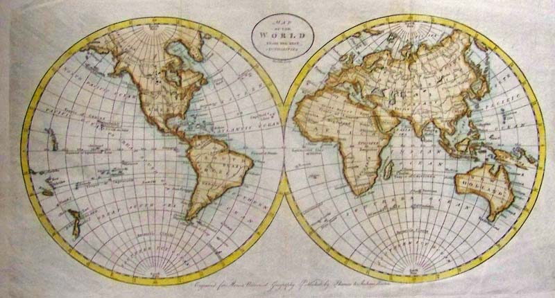
Map of the World from the Best Authorities, Doolittle 1796 - An attractive, engraved and hand colored double hemisphere map of the World published for Morse’s Universal Geography, Published by Thomas and Andrews, Boston. The map is extensively annotated with information on the explorations of a number of regions on the map in the 1770s, primarily deriving from Cook. New Zealand is shown, Australia is New Holland and retains it’s a mostly conjectural mid-18th Century Coastline. No sign of Antarctica, few African nations are shown, Russian Empire extends into the Arctic, Persia, and few other middle eastern countries are shown. Condition: Excellent, several vertical folds, no margin, and normal aging color throughout.
size 16 x 9.5 image
$125


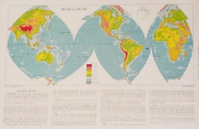
300wld:
1933
Physical Relief World Map
colored lithograph
showing elevations and ocean depths by color, physical characteristics, and  text on each continent
21x14 in.
$25


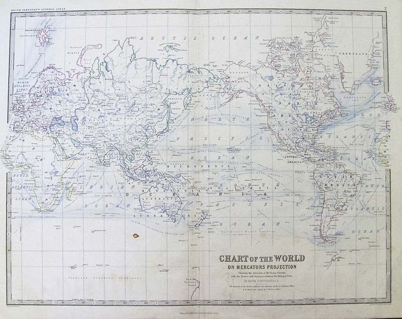
308wld:
Published by Keith Johnston Edinburgh
1868
Chart of the World
shows ocean currents in color, and distances 
between principal ports
24x19 in.
$95


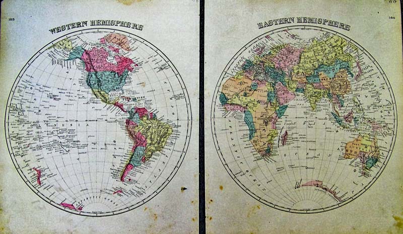
309wld:
Bradley
1876
Hemisphere World Maps
original hand color, some foxing in bottom margins
each 14-1/2x17-1/2 in.
$95


310wld:
O.W. Gray's
1875
Hemispheric Map 
of the World
major cities and geographical features are shown.
Each sheet is 14x17 in.
$90 


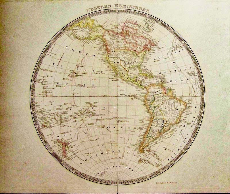
203wld:
Western Hemisphere with The Republic of Texas, Tesdale, 1842 - A nicely engraved British hemispheric map with original color shows the continents with a surprising amount of detail including rivers, place names, Indian Tribes, and coastal detail; locates Buenos Ayres, Mexico City, Santa Fe, Santa Barbara, etc. Rarely seen in maps, the Independent Republic of Texas is depicted and in North America, the United States is depicted with its western boundary along the Rocky Mountains and in the Northwest. The border with Canada is left open-ended with British coastal claims extending to the Columbia River, relating England's position on the Fifty-Four Forty dispute. The map extends to show the South Pacific Islands and New Zealand. All of the important voyage routes of Capt. Cook and Clerke are shown. Surrounded by a keyboard-style circular border. Condition: Very Good, large globe with some foxing on edges and 
fold down middle.
size 14.5 x 14.5 image
$295


204wld:
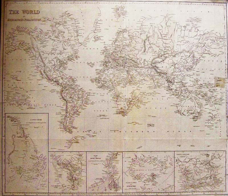
The World on Mercator’s Projection, and Texas as a Republic, Harper Brothers, 1847 - A large black and white engraved map of the world with five detailed insets of Australia, India, Singapore and South Africa. The map also shows Alaska as Russian Possesions, Northern Canada as British Possessions and Texas as a Republic. Insets are: Canton River (Macau & Hong Kong); Van Diemen's Land (Tasmania); River Hoogly (Calcutta); Island and town of Singapore; Colony of Good Hope. Engraved by Charles Copley New York. Condition: Good very small margins, a small repair to right margin barely into image, multiple folds throughout.
Size 21.5 x 18.5 image
$295


205wld:
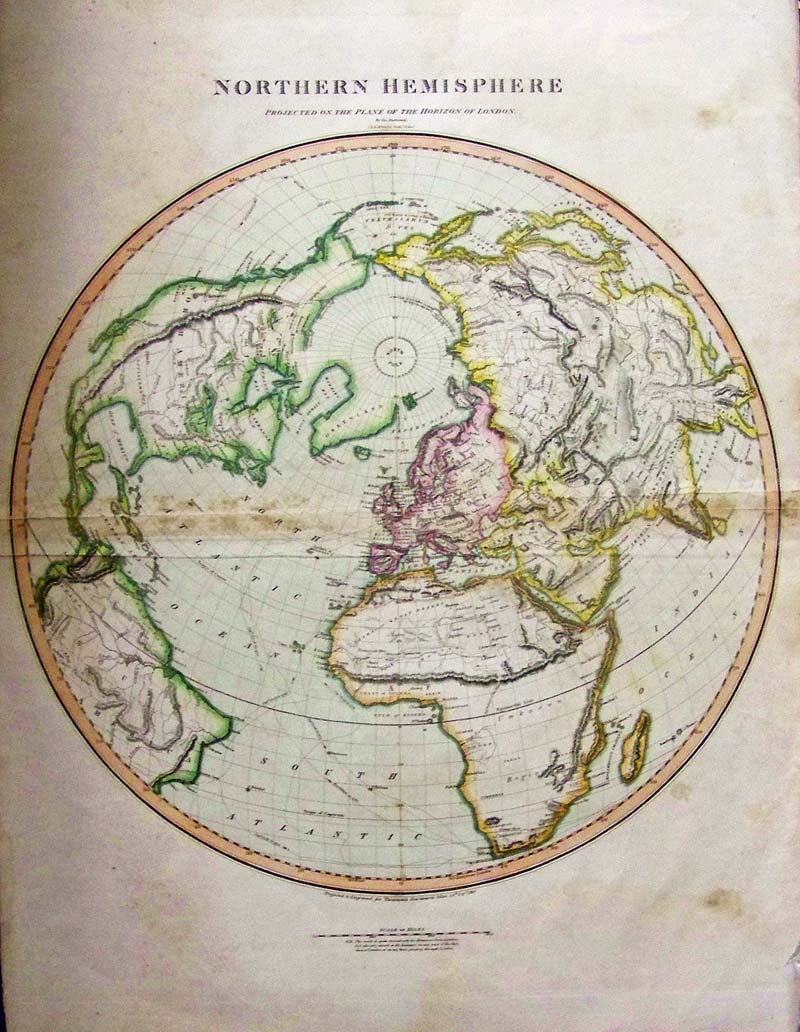
Northern Hemisphere, Projected on the Plane of the Horizon London, Buchanan and Thompson 1816 - A large and beautiful rare copper engraved hand colored 1816 map by Edinburgh cartographer John Thomson depicting the Northern Hemisphere projected on the plane of the horizon of London. It covers all of North America, Europe, Asia and Africa as well as the northern parts of South America. Impressive detail encompasses both political and geographic features. The routes of Captain Cook are noted throughout in his voyages 1772-1776. The map also notes the Bherings (Bering) Island off the Kamchatka Peninsula with a note reading 'Where he died in 1741.' In Africa, the mythical Mountains of Kong are shown extending eastward to join with the Mountains of the Moon – mythical source of the Nile River. Exhibits a general lack of information regarding the Arctic and connects Greenland with the mainland. Seems to leave the possibility of a Northeast, though not a Northwest, passage open. This map was engraved by J. and G. Menzies and published by Baldwin and Cradock in Thomson's New General Atlas. Condition: Fair, double fold in middle with staining along folds, slight tears on edges of folds, some browning along edges, and water stains 
outside image.
size 19 x 21 image
$195
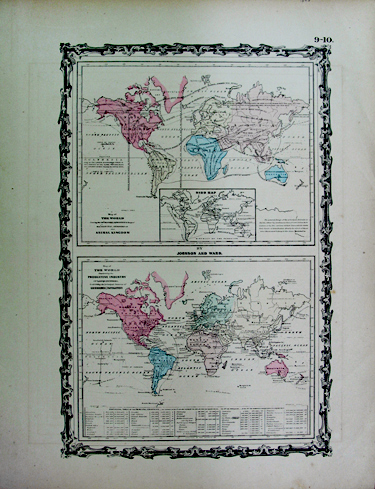


311wld:
Johnson and Ward
1863
Map of the World
Top map details the geographical distribution of the principal members of the animal kingdom, the bottom map illutrates the productive industry of 
various countries
18" x 13.5"
$25
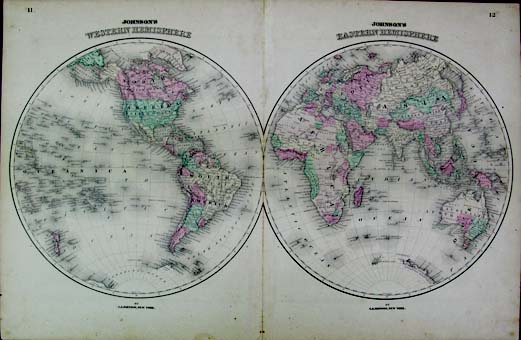


314wld:
Mitchell
1881
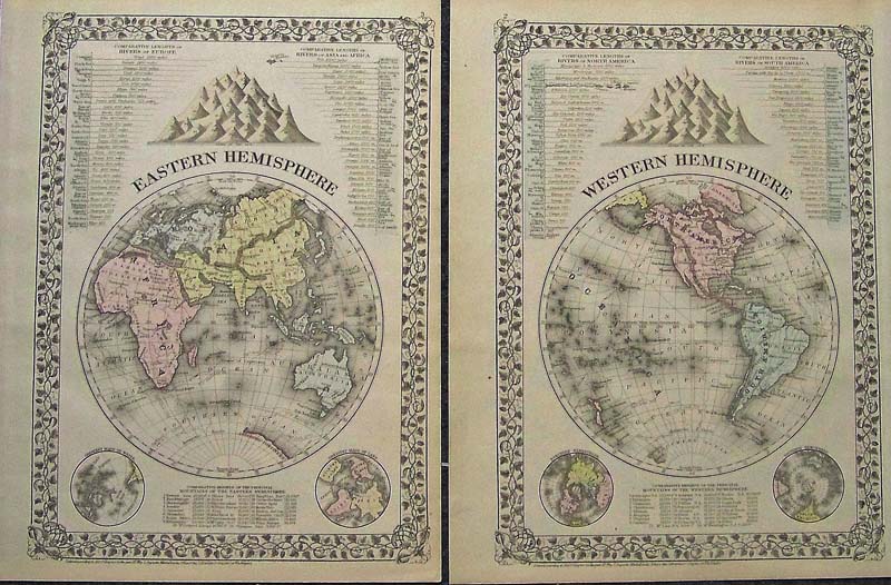
Western Hemisphere/Eastern Hemisphere
Set of hemisphere maps detailing the comparative lengths of rivers and heights of principal mountains in each area. Hand Colored. Decorative grape 
and leaves border
15" x 11.5" ea.
$90


315wld:
A.& C.Black
1873
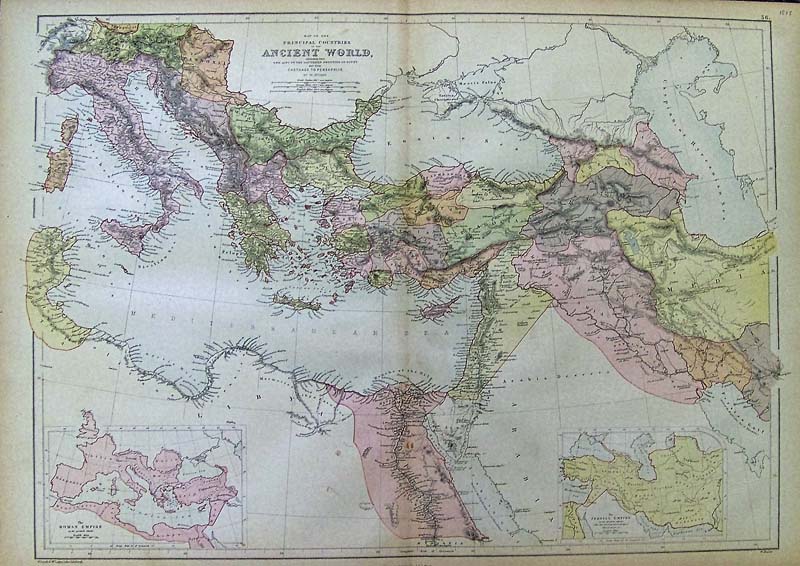
Map of the Principal Countries of the Ancient World
Features areas from the Alps through Southern Egypt, and Carthage through Persepolis, with insets of the Roman Empire and The Persian Empire 
Hand Colored
17.5" x 25"
$60


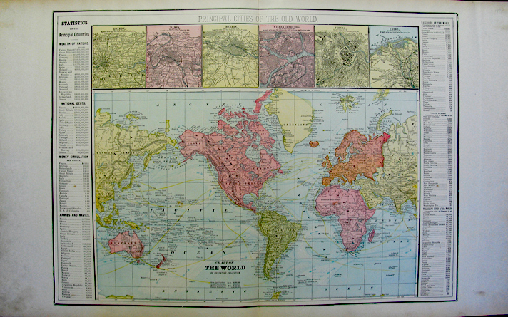
316wld:
1896
Chart of the World on
Mercator's Projection
Features principal cities or the old world; statistics of the
 principal countries
29" x 18"
$35
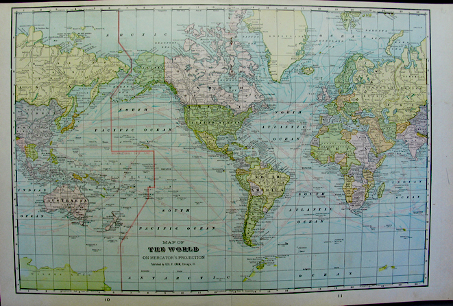
 
317wld:
Published by Geo. F. Cram,
Chicago IL
1896 Map of The World on Mercator's projection
22" x 14.5"
$25
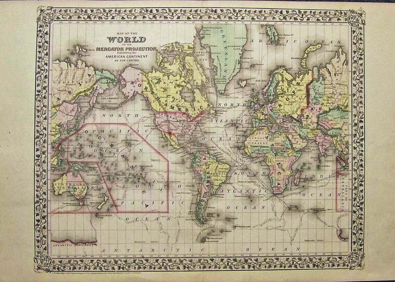
 

319wld:
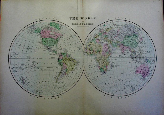
1896 The World in Hemispheres by Bradley.
25.5" x 19"
$45


320wld:
Rand McNally & Co
1896
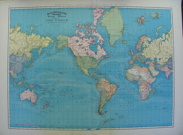
Map of The World
29" x 21.5"
$30 


323wld:
Map of the World on the Mercator Projection Mitchell 1871 - A very attractive, engraved and hand colored map of the World on Mercator Projection, by Mitchell, created in 1860 and published in 1862 and 1871. North and South America are centrally located on this map. Major shipping and exploration routes, including Captain Cook's voyages of exploration are shown in detail, the map has very wide side margins and a beautiful margin design of leaves. Condition: Very good some light aging color with a light fold in the middle.
size 18 x 14 image
$75


118rare:

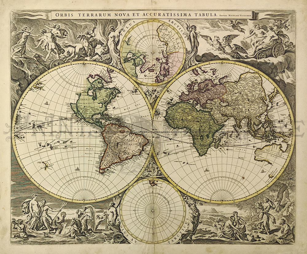
1658 Niolao Visscher, Auctore Orbis Terrarum Nova et Accuratissima. Amsterdam; after 1658. Copper engraved double hemisphere world map, hand colored. Very good overall condition with a small bit of
damage in the middle center.
Measures 21 1/2 x 18 1/4" plus margins. $6000
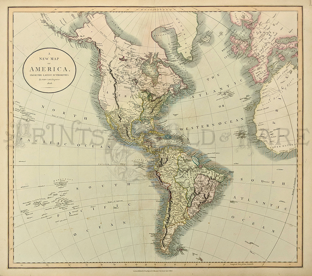


119rare:
1806 John Cary A New Map of America From the Latest Authorities. Published by J. Cary, engraver and map seller, London. Lovely water colored copperplate engraving on hand made paper. Excellent condition.
20 1/2 x 18" plus margins. 
$800


120rare:
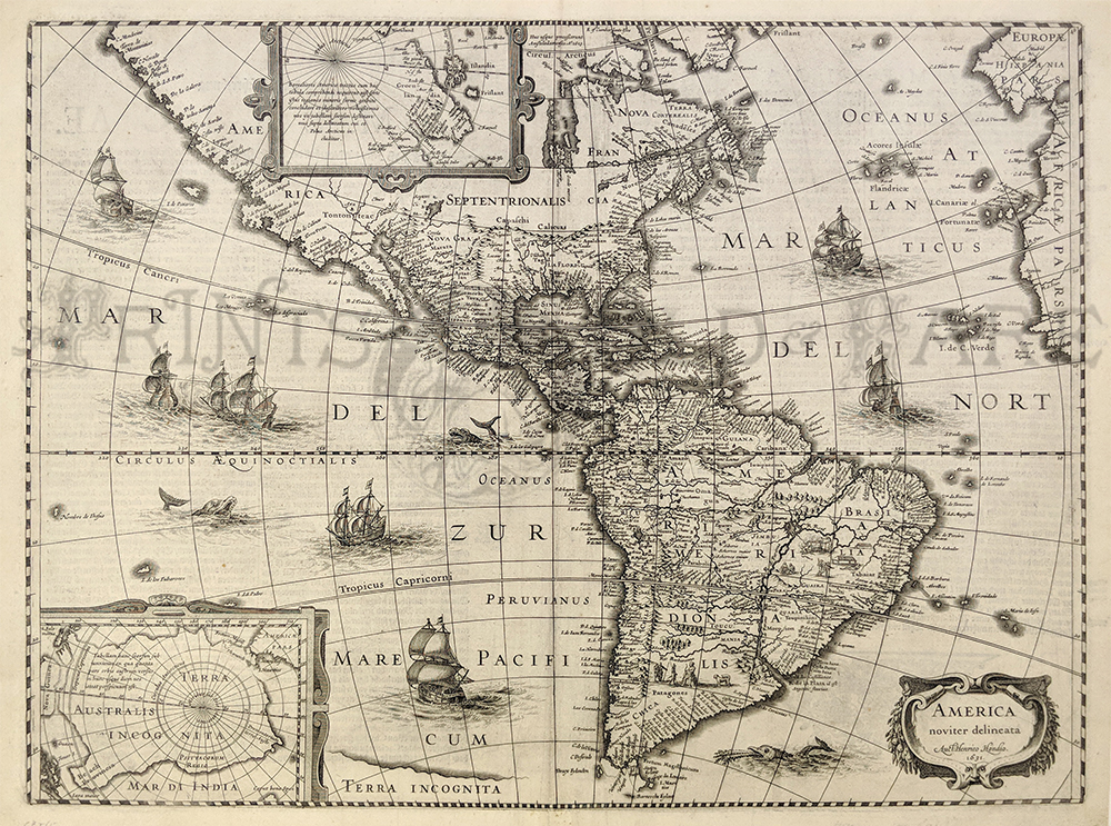
1631 Hondius America Noviter Delineata. Very decorative map of the Americas published in Amsterdam. Showing sea creatures in sailing ships in both the Atlantic and Pacific Oceans. Insets showing the North and South Poles. Copperplate engraving on handmade hand laid rag. Excellent condition,
printing on reverse,
Measuring 19 1/2 x 15" 
plus margins. 
$4500


324wld:
Mitchell's Western and Eastern Hemisphere 1874 - An unusual two-map set of engraved maps with original hand coloring, showing Mitchell's traditional grape vine border, characteristic pastel coloring and abundant details of geographical features. The Western and Eastern Hemispheres are illustrated on these two maps. Countries are distinguished by color. These 1874 maps offer a fascinating perspective of areas that have since undergone significant growth and change, in addition to their value as great examples of Mitchell's work. This map was produced by S. Augustus Mitchell in 1874 for his New General Atlas. Each map lists highest mountains of the hemisphere and longest rivers of the continents with wonderful illustrations of the mountains, number about the orbis. Condition: Excellent, with wide margins and very 
little aging color.
$95 


325wld:
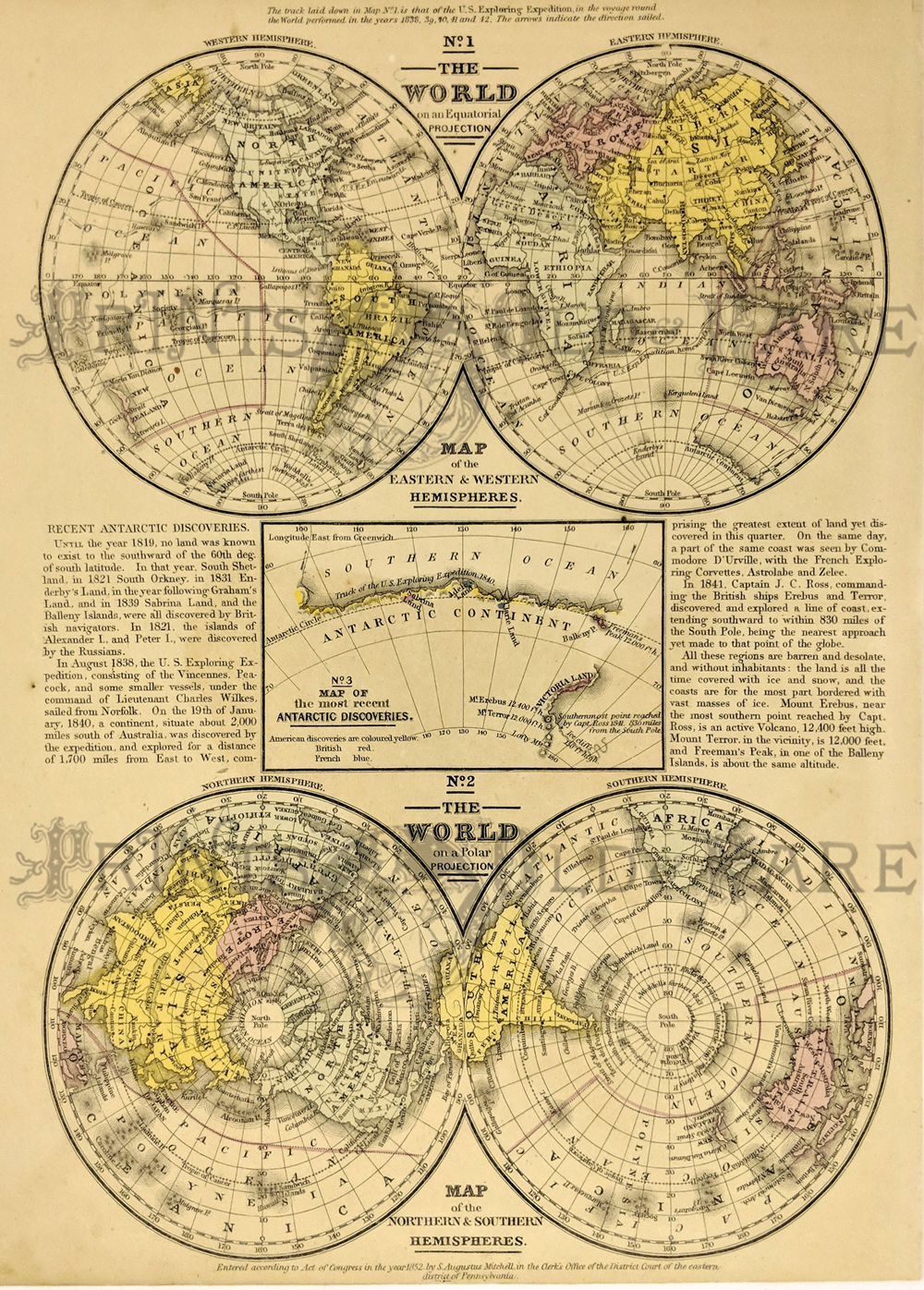
Map of The World in two views: No. 1. on an Equatorial Projection, showing both Eastern and Western Hemispheres; No. 2 on a Polar Projection, showing Northern and Southern Hemispheres. There is also an inset showing Map of the most recent Antarctic Discoveries. Engraved to illustrate Mitchell's School and Family Geography, 1852.
9 1/4 x 11 1/2 in. $40


330wld:
1713 Padva World Map by Lasor A. Varea from the Universus Terrarum Orbis. Hand colored copper engraved map with text from "*MA* Scriptorium Calamo Delineatus, *MA*."
Measurement of page is: 13 x 8-1/2 in. Measurement of map inside page is: 5-1/2 x 4 in. $450


321wld:
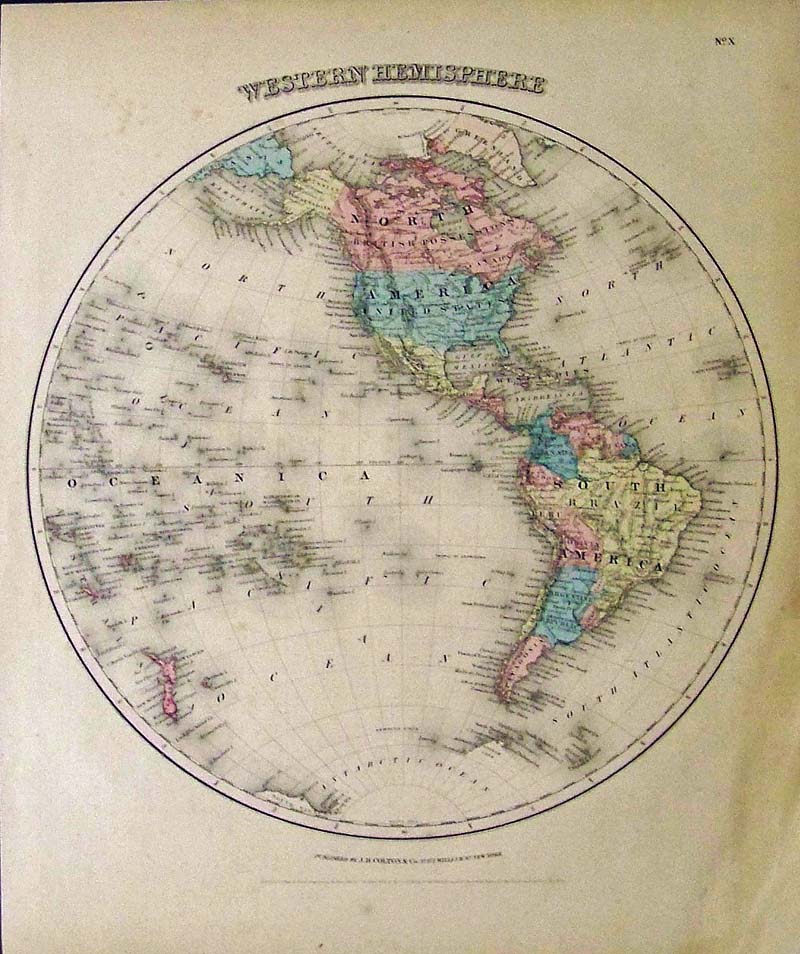
1855 Colton original hand colored engraved Western Hemisphere map which shows North and South America and surrounding islands in the western 
hemisphere of the world.
17-1/2 x 14-1/2 in 
$75


Order Form
Back to  Homepage
Prints Old & Rare FacebookPrints Old & Rare FacebookInstagramTwitter